41 Goodwin Rd Gilford, NH 03249
Estimated Value: $620,000 - $652,000
3
Beds
3
Baths
2,394
Sq Ft
$266/Sq Ft
Est. Value
About This Home
This home is located at 41 Goodwin Rd, Gilford, NH 03249 and is currently estimated at $637,829, approximately $266 per square foot. 41 Goodwin Rd is a home located in Belknap County with nearby schools including Gilford Elementary School, Gilford Middle School, and Gilford High School.
Ownership History
Date
Name
Owned For
Owner Type
Purchase Details
Closed on
Feb 24, 2022
Sold by
Whitaker Julie A
Bought by
Whitaker Ft
Current Estimated Value
Purchase Details
Closed on
Apr 20, 2012
Sold by
Whitaker Jeffrey W
Bought by
Whitaker Julie A
Home Financials for this Owner
Home Financials are based on the most recent Mortgage that was taken out on this home.
Original Mortgage
$141,000
Interest Rate
3.89%
Mortgage Type
Unknown
Purchase Details
Closed on
Jun 1, 1990
Bought by
Whitaker Julie A
Create a Home Valuation Report for This Property
The Home Valuation Report is an in-depth analysis detailing your home's value as well as a comparison with similar homes in the area
Home Values in the Area
Average Home Value in this Area
Purchase History
| Date | Buyer | Sale Price | Title Company |
|---|---|---|---|
| Whitaker Ft | -- | None Available | |
| Whitaker Julie A | $158,000 | -- | |
| Whitaker Julie A | -- | -- |
Source: Public Records
Mortgage History
| Date | Status | Borrower | Loan Amount |
|---|---|---|---|
| Previous Owner | Whitaker Julie A | $141,000 |
Source: Public Records
Tax History
| Year | Tax Paid | Tax Assessment Tax Assessment Total Assessment is a certain percentage of the fair market value that is determined by local assessors to be the total taxable value of land and additions on the property. | Land | Improvement |
|---|---|---|---|---|
| 2025 | $6,795 | $573,400 | $166,200 | $407,200 |
| 2024 | $6,451 | $573,400 | $166,200 | $407,200 |
| 2023 | $5,906 | $573,400 | $166,200 | $407,200 |
| 2022 | $5,131 | $418,850 | $97,850 | $321,000 |
| 2021 | $5,143 | $418,850 | $97,850 | $321,000 |
| 2020 | $5,451 | $362,690 | $96,190 | $266,500 |
| 2019 | $5,459 | $344,220 | $90,220 | $254,000 |
| 2018 | $5,003 | $293,600 | $72,400 | $221,200 |
| 2017 | $5,068 | $293,600 | $72,400 | $221,200 |
| 2016 | $5,171 | $288,100 | $72,400 | $215,700 |
| 2015 | $5,295 | $294,640 | $83,840 | $210,800 |
| 2011 | $5,156 | $277,970 | $97,470 | $180,500 |
Source: Public Records
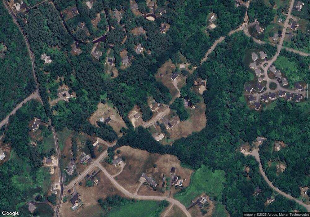
Map
Nearby Homes
- 52 Belknap Mountain Rd
- 119 Cherry Valley Rd
- 55 High View Cir
- 630 Belknap Mountain Rd
- 48 Liberty Hill Rd
- 15 Swain Rd
- 7 Countryside Dr
- 30 Elderberry Dr
- 15 Henderson Rd
- 303 Old Lakeshore Rd Unit A-8
- 71 Annis Dr Unit 1
- 239 Gilford Ave
- 343 Old Lake Shore Rd Unit 49
- 14 Curtis Rd
- 166 Gilford Ave
- 28 Balsam Dr
- 9 Lily Pond Rd
- 320 Old Lake Shore Rd Unit 17
- 344 Old Lake Shore Rd Unit 12
- 102 Woodland Ave
Your Personal Tour Guide
Ask me questions while you tour the home.