41 Grizzly Dr Rutland, MA 01543
Estimated Value: $664,892 - $780,000
4
Beds
3
Baths
2,289
Sq Ft
$310/Sq Ft
Est. Value
About This Home
This home is located at 41 Grizzly Dr, Rutland, MA 01543 and is currently estimated at $708,723, approximately $309 per square foot. 41 Grizzly Dr is a home with nearby schools including Wachusett Regional High School.
Ownership History
Date
Name
Owned For
Owner Type
Purchase Details
Closed on
Nov 27, 2023
Sold by
C B Blair Dev Corp
Bought by
Mendi Jude A and Bosungneh Zainabu
Current Estimated Value
Home Financials for this Owner
Home Financials are based on the most recent Mortgage that was taken out on this home.
Original Mortgage
$515,000
Outstanding Balance
$505,703
Interest Rate
7.57%
Mortgage Type
Purchase Money Mortgage
Estimated Equity
$203,020
Purchase Details
Closed on
Feb 15, 1979
Bought by
Bear Hill Estates Llc
Create a Home Valuation Report for This Property
The Home Valuation Report is an in-depth analysis detailing your home's value as well as a comparison with similar homes in the area
Home Values in the Area
Average Home Value in this Area
Purchase History
| Date | Buyer | Sale Price | Title Company |
|---|---|---|---|
| Mendi Jude A | $661,712 | None Available | |
| Bear Hill Estates Llc | -- | -- |
Source: Public Records
Mortgage History
| Date | Status | Borrower | Loan Amount |
|---|---|---|---|
| Open | Mendi Jude A | $515,000 |
Source: Public Records
Tax History Compared to Growth
Tax History
| Year | Tax Paid | Tax Assessment Tax Assessment Total Assessment is a certain percentage of the fair market value that is determined by local assessors to be the total taxable value of land and additions on the property. | Land | Improvement |
|---|---|---|---|---|
| 2025 | $8,723 | $612,600 | $81,500 | $531,100 |
| 2024 | $8,375 | $564,700 | $77,800 | $486,900 |
| 2023 | $251 | $18,300 | $18,300 | $0 |
| 2022 | $242 | $15,300 | $15,300 | $0 |
| 2021 | $256 | $15,300 | $15,300 | $0 |
| 2020 | $255 | $14,500 | $14,500 | $0 |
| 2019 | $247 | $13,800 | $13,800 | $0 |
| 2018 | $1,001 | $55,200 | $55,200 | $0 |
| 2017 | $1,011 | $55,200 | $55,200 | $0 |
| 2016 | $954 | $54,900 | $54,900 | $0 |
Source: Public Records
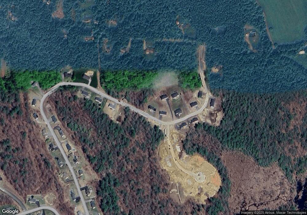
Map
Nearby Homes
- 73 Brintnal Dr
- 35 Brintnal Dr
- 101 Brintnal Dr
- 2 Simon Davis Dr
- 16 Richards Ave
- 40 Brunelle Dr
- 175 Glenwood Rd
- 25 Watson Ln
- 55 Pommogussett Rd
- 5 Miles Rd
- 32 Pommogussett Rd Unit 1
- 10 Soucy Dr
- 147 E County Rd Unit 149
- 28 Forest Hill Dr
- 11 Lewis St
- 21 Lewis St
- 47 Woodside Ave
- 27 Lewis St
- 12 Lewis St
- 51 Woodside Ave