Estimated Value: $100,933 - $186,000
--
Bed
--
Bath
1,186
Sq Ft
$129/Sq Ft
Est. Value
About This Home
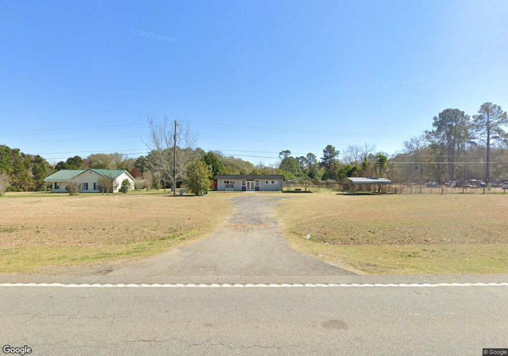
This home is located at 41 Hay Rd, Perry, GA 31069 and is currently estimated at $153,483, approximately $129 per square foot. 41 Hay Rd is a home with nearby schools including Tucker Elementary School, Perry Middle School, and Perry High School.
Ownership History
Date
Name
Owned For
Owner Type
Purchase Details
Closed on
Sep 13, 2007
Sold by
White Faye
Bought by
Lusk John
Current Estimated Value
Purchase Details
Closed on
May 21, 2004
Sold by
Belvin Jessie and White Faye
Bought by
Stevenson Sweet Lee
Purchase Details
Closed on
Jul 13, 2001
Sold by
Stevenson Sweet Lee
Bought by
Stevens Loma
Purchase Details
Closed on
Oct 11, 1972
Sold by
Thames W H
Bought by
Stevenson Sweet Lee
Purchase Details
Closed on
Sep 3, 1968
Sold by
Sutton Willie
Bought by
Thames W H
Purchase Details
Closed on
Jun 30, 1966
Bought by
Sutton Willie
Create a Home Valuation Report for This Property
The Home Valuation Report is an in-depth analysis detailing your home's value as well as a comparison with similar homes in the area
Home Values in the Area
Average Home Value in this Area
Purchase History
| Date | Buyer | Sale Price | Title Company |
|---|---|---|---|
| Lusk John | $10,000 | None Available | |
| Stevenson Sweet Lee | -- | -- | |
| Belvin Jessie | -- | -- | |
| Stevens Loma | -- | -- | |
| Stevenson Sweet Lee | -- | -- | |
| Thames W H | -- | -- | |
| Sutton Willie | -- | -- |
Source: Public Records
Tax History Compared to Growth
Tax History
| Year | Tax Paid | Tax Assessment Tax Assessment Total Assessment is a certain percentage of the fair market value that is determined by local assessors to be the total taxable value of land and additions on the property. | Land | Improvement |
|---|---|---|---|---|
| 2024 | $230 | $9,600 | $1,640 | $7,960 |
| 2023 | $197 | $8,160 | $1,080 | $7,080 |
| 2022 | $184 | $7,600 | $1,080 | $6,520 |
| 2021 | $143 | $5,880 | $760 | $5,120 |
| 2020 | $133 | $5,440 | $680 | $4,760 |
| 2019 | $133 | $5,440 | $680 | $4,760 |
| 2018 | $133 | $5,440 | $680 | $4,760 |
| 2017 | $133 | $5,440 | $680 | $4,760 |
| 2016 | $133 | $5,440 | $680 | $4,760 |
| 2015 | $133 | $5,440 | $680 | $4,760 |
| 2014 | -- | $5,440 | $680 | $4,760 |
| 2013 | -- | $5,520 | $680 | $4,840 |
Source: Public Records
Map
Nearby Homes
- 209 Mcewen Ct
- 2111 Us Highway 41 S
- 246 Rusty Plow Ln Unit 27
- 246 Rusty Plow Ln
- 250 Rusty Plow Ln Unit 25
- 240 Rusty Plow Ln Unit 30
- 240 Rusty Plow Ln
- 225 Rusty Plow Ln
- 305 Rusty Plow Ln
- 302 Rusty Plow Ln Unit 23
- 302 Rusty Plow Ln
- 305 Rusty Plow Ln Unit 13
- 303 Rusty Plow Ln
- 648 Encore Dr Unit 84
- 301 Rusty Plow Ln
- 309 Rusty Plow Ln Unit 15
- 309 Rusty Plow Ln
- 306 Rusty Plow Ln
- 308 Rusty Plow Ln
- 301 Rusty Plow Ln Unit 11
- 2200 Us Highway 41 S
- 2200A Us Highway 41 S
- 2136 U S 41
- 2206 Us Highway 41 S
- 2212 Us Highway 41 S
- 2216 Us Highway 41 S
- 2160 Us Highway 41 S
- 2160 U S 41 Unit A
- 2160 U S 41
- S Hwy 41
- 103 Mcewen Ct
- 105 Mcewen Ct
- 107 Mcewen Ct
- 109 Mcewen Ct Unit 5
- 109 Mcewen Ct
- 101 Mcewen Ct
- 111 Mcewen Ct
- 2220 Us Highway 41 S
- 201 Mcewen Ct
- 20 Mcewen Ct