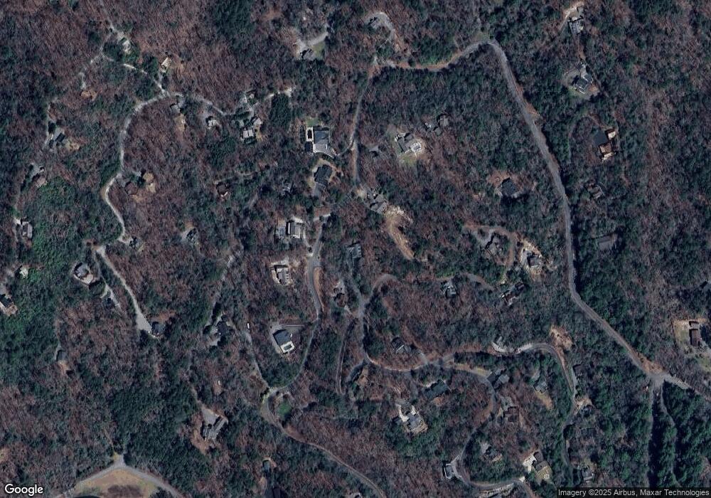
41 Hiawatha Trail Blue Ridge, GA 30513
Estimated Value: $805,628 - $1,106,000
--
Bed
3
Baths
3,936
Sq Ft
$252/Sq Ft
Est. Value
About This Home
This home is located at 41 Hiawatha Trail, Blue Ridge, GA 30513 and is currently estimated at $989,907, approximately $251 per square foot. 41 Hiawatha Trail is a home located in Fannin County with nearby schools including Fannin County High School.
Ownership History
Date
Name
Owned For
Owner Type
Purchase Details
Closed on
Apr 3, 2025
Sold by
Keene Kenneth P
Bought by
Briggs Brian and Keene Patricia B
Current Estimated Value
Home Financials for this Owner
Home Financials are based on the most recent Mortgage that was taken out on this home.
Original Mortgage
$150,001
Outstanding Balance
$149,602
Interest Rate
6.63%
Mortgage Type
New Conventional
Estimated Equity
$840,305
Purchase Details
Closed on
Apr 29, 2005
Sold by
R & E Mountain Properties
Bought by
Keene Kenneth P and Keene Patricia B
Create a Home Valuation Report for This Property
The Home Valuation Report is an in-depth analysis detailing your home's value as well as a comparison with similar homes in the area
Home Values in the Area
Average Home Value in this Area
Purchase History
| Date | Buyer | Sale Price | Title Company |
|---|---|---|---|
| Briggs Brian | -- | -- | |
| Keene Kenneth P | $50,000 | -- |
Source: Public Records
Mortgage History
| Date | Status | Borrower | Loan Amount |
|---|---|---|---|
| Open | Briggs Brian | $150,001 | |
| Previous Owner | Keene Patricia B | $150,000 | |
| Previous Owner | Keene Patricia B | $100,000 |
Source: Public Records
Tax History Compared to Growth
Tax History
| Year | Tax Paid | Tax Assessment Tax Assessment Total Assessment is a certain percentage of the fair market value that is determined by local assessors to be the total taxable value of land and additions on the property. | Land | Improvement |
|---|---|---|---|---|
| 2024 | $992 | $310,135 | $11,400 | $298,735 |
| 2023 | $1,104 | $253,868 | $11,400 | $242,468 |
| 2022 | $2,037 | $256,731 | $11,400 | $245,331 |
| 2021 | $1,864 | $165,118 | $11,400 | $153,718 |
| 2020 | $1,896 | $165,118 | $11,400 | $153,718 |
| 2019 | $1,905 | $162,492 | $16,360 | $146,132 |
| 2018 | $2,019 | $162,492 | $16,360 | $146,132 |
| 2017 | $2,903 | $164,094 | $16,360 | $147,734 |
| 2016 | $2,027 | $146,369 | $16,360 | $130,009 |
| 2015 | $1,937 | $132,326 | $17,400 | $114,926 |
| 2014 | $1,780 | $124,829 | $20,000 | $104,829 |
| 2013 | -- | $101,369 | $20,000 | $81,369 |
Source: Public Records
Map
Nearby Homes
- 2634 Mountain Tops Rd Unit 426B
- 2634 Mountain Tops Rd
- 296 Overlook Rd
- 305 Skybound
- 120 Foxfire Rd
- 329 Skybound
- 79 N Dream Catcher
- 373 Moss Ln
- 280 Point of View Rd
- 280 Point of View
- 350 Left Turn Unit 15
- 350 Left Turn
- 290 Left Turn
- Lot 53 Community Hill Dr Unit 53
- Lot 52 Community Hill Dr Unit 52
- Lot 52 Community Hill Dr
- Lot 53 Community Hill Dr
- 38 Forest Ln
- 375 S Dream Catcher
- 351 S Dream Catcher
- 0 Hiawatha Trail Unit 415 8206981
- 0 Hiawatha Trail Unit 219828
- 0 Hiawatha Trail Unit 7535501
- 0 Hiawatha Trail Unit 8835639
- 0 Hiawatha Trail Unit 7610517
- 0 Hiawatha Trail Unit 8076870
- 2575 Mountain Tops Rd
- 2606 Mountain Tops Rd
- LT 3 Underlook Rd
- 30 Hiawatha Trail
- 982 Mountain Tops Rd
- 2545 Mountain Tops Rd
- 2541 Mountain Tops Rd
- L 429 N Hiawatha Trail
- L423 N Hiawatha Trail
- 163 Hiawatha Trail
- 2483 Mountain Tops Rd
- 2637 Mountain Tops Rd
- 80 N Hiawatha Trail Unit 422
- 110 Hiawatha Trail
