41 Highview Dr Coal Township, PA 17866
Estimated Value: $132,000 - $304,284
--
Bed
--
Bath
--
Sq Ft
0.5
Acres
About This Home
This home is located at 41 Highview Dr, Coal Township, PA 17866 and is currently estimated at $249,071. 41 Highview Dr is a home located in Northumberland County with nearby schools including Shamokin Area Elementary School, Shamokin Area Middle School, and Shamokin Area High School.
Ownership History
Date
Name
Owned For
Owner Type
Purchase Details
Closed on
Jul 21, 2020
Sold by
Mca Beach Properties Inc
Bought by
Berger Jarid W and Berger Erin E
Current Estimated Value
Home Financials for this Owner
Home Financials are based on the most recent Mortgage that was taken out on this home.
Original Mortgage
$199,500
Outstanding Balance
$177,232
Interest Rate
3.2%
Mortgage Type
Purchase Money Mortgage
Estimated Equity
$71,839
Purchase Details
Closed on
Jun 17, 2019
Sold by
Fnb Bank Na
Bought by
Mca Beach Properties Inc
Purchase Details
Closed on
Nov 7, 2018
Sold by
Bednar Tracy L
Bought by
Fnb Bank Na
Purchase Details
Closed on
May 6, 2013
Sold by
Bernard Matthew M and Bednar Tracy L
Bought by
Bednar Tracy L
Home Financials for this Owner
Home Financials are based on the most recent Mortgage that was taken out on this home.
Original Mortgage
$114,000
Interest Rate
3.39%
Mortgage Type
Purchase Money Mortgage
Create a Home Valuation Report for This Property
The Home Valuation Report is an in-depth analysis detailing your home's value as well as a comparison with similar homes in the area
Home Values in the Area
Average Home Value in this Area
Purchase History
| Date | Buyer | Sale Price | Title Company |
|---|---|---|---|
| Berger Jarid W | $210,000 | None Available | |
| Mca Beach Properties Inc | $172,000 | None Available | |
| Fnb Bank Na | $132,159 | None Available | |
| Bednar Tracy L | -- | None Available |
Source: Public Records
Mortgage History
| Date | Status | Borrower | Loan Amount |
|---|---|---|---|
| Open | Berger Jarid W | $199,500 | |
| Previous Owner | Bednar Tracy L | $114,000 |
Source: Public Records
Tax History Compared to Growth
Tax History
| Year | Tax Paid | Tax Assessment Tax Assessment Total Assessment is a certain percentage of the fair market value that is determined by local assessors to be the total taxable value of land and additions on the property. | Land | Improvement |
|---|---|---|---|---|
| 2025 | $4,069 | $35,600 | $3,960 | $31,640 |
| 2024 | $3,780 | $35,600 | $3,960 | $31,640 |
| 2023 | $3,780 | $35,600 | $3,960 | $31,640 |
| 2022 | $3,713 | $35,600 | $3,960 | $31,640 |
| 2021 | $3,568 | $35,600 | $3,960 | $31,640 |
| 2020 | $3,551 | $35,600 | $3,960 | $31,640 |
| 2019 | $3,220 | $35,600 | $3,960 | $31,640 |
| 2018 | $3,180 | $35,600 | $3,960 | $31,640 |
| 2017 | $3,020 | $35,600 | $3,960 | $31,640 |
| 2016 | -- | $35,600 | $3,960 | $31,640 |
| 2015 | -- | $35,600 | $3,960 | $31,640 |
| 2014 | -- | $35,600 | $3,960 | $31,640 |
Source: Public Records
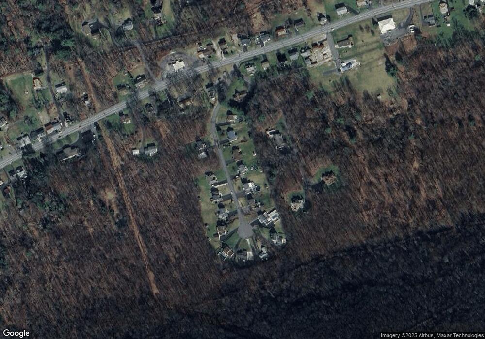
Map
Nearby Homes
- 2223 Park Rd
- 0 Park Rd
- 1950 W Independence St
- 1728 W Walnut St
- 1635 W Walnut St
- 1714 W Pine St
- 1100 Center St
- 1539 W Lynn St
- 1405 W Walnut St
- 1501 W Wood St
- 954 Center St
- 1551 W Holly St
- 1324 W Walnut St
- 1219 W Walnut St
- 1354 W Gowen St Unit 1356
- 1530 W Fern St
- 1104 W Walnut St
- 1149 W Wood St
- 1248 W Pine St
- 1212 W Spruce St
- 51 Highview Dr
- 31 Highview Dr
- 61 Highview Dr
- 21 Highview Dr
- 40 Highview Dr
- 30 Wilson Ave
- 50 Highview Dr
- 20 Highview Dr
- 60 Highview Dr
- 11 Highview Dr
- 71 Highview Dr
- 60 Wilson Ave
- 70 Highview Dr
- 81 Highview Dr
- 142 Wilson Ave
- 118 Washington Blvd
- 91 Highview Dr
- 80 Highview Dr
- 90 Highview Dr
- 1658 Trevorton Rd