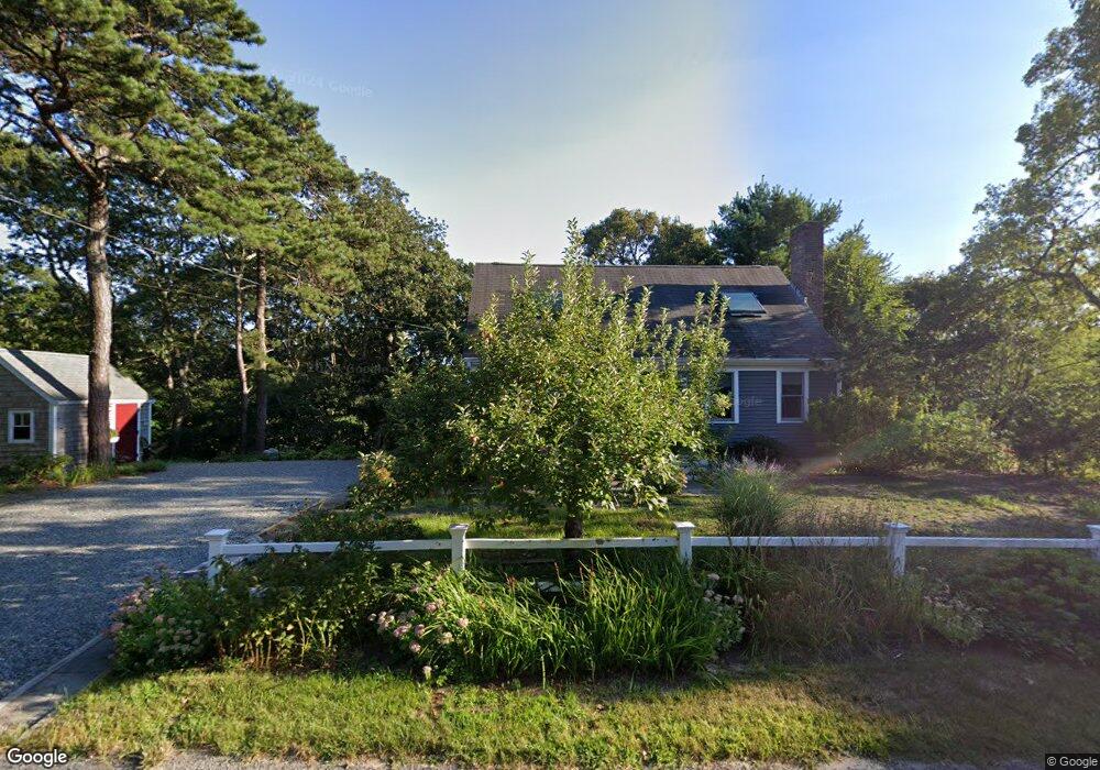
41 Hillcrest Rd Yarmouth Port, MA 02675
Yarmouth Port NeighborhoodEstimated Value: $620,000 - $747,000
3
Beds
2
Baths
1,801
Sq Ft
$384/Sq Ft
Est. Value
About This Home
This home is located at 41 Hillcrest Rd, Yarmouth Port, MA 02675 and is currently estimated at $692,110, approximately $384 per square foot. 41 Hillcrest Rd is a home located in Barnstable County with nearby schools including Dennis-Yarmouth Regional High School.
Ownership History
Date
Name
Owned For
Owner Type
Purchase Details
Closed on
Aug 7, 2019
Sold by
Teuwen Henry D and Teuwen Linda B
Bought by
Teuwen Ft
Current Estimated Value
Purchase Details
Closed on
Oct 13, 2000
Sold by
Verburg Carol J
Bought by
Teuwen Henry D and Teuwen Linda B
Home Financials for this Owner
Home Financials are based on the most recent Mortgage that was taken out on this home.
Original Mortgage
$158,300
Interest Rate
7.89%
Mortgage Type
Purchase Money Mortgage
Purchase Details
Closed on
Jun 12, 1989
Sold by
Okeefe Michael
Bought by
Verburg Carol J
Create a Home Valuation Report for This Property
The Home Valuation Report is an in-depth analysis detailing your home's value as well as a comparison with similar homes in the area
Home Values in the Area
Average Home Value in this Area
Purchase History
| Date | Buyer | Sale Price | Title Company |
|---|---|---|---|
| Teuwen Ft | -- | -- | |
| Teuwen Henry D | $197,900 | -- | |
| Verburg Carol J | $151,000 | -- |
Source: Public Records
Mortgage History
| Date | Status | Borrower | Loan Amount |
|---|---|---|---|
| Previous Owner | Verburg Carol J | $158,300 |
Source: Public Records
Tax History Compared to Growth
Tax History
| Year | Tax Paid | Tax Assessment Tax Assessment Total Assessment is a certain percentage of the fair market value that is determined by local assessors to be the total taxable value of land and additions on the property. | Land | Improvement |
|---|---|---|---|---|
| 2025 | $4,067 | $574,400 | $163,800 | $410,600 |
| 2024 | $3,771 | $511,000 | $142,400 | $368,600 |
| 2023 | $3,753 | $462,800 | $129,500 | $333,300 |
| 2022 | $3,449 | $375,700 | $123,600 | $252,100 |
| 2021 | $3,389 | $354,500 | $123,600 | $230,900 |
| 2020 | $3,341 | $334,100 | $130,800 | $203,300 |
| 2019 | $3,128 | $309,700 | $130,800 | $178,900 |
| 2018 | $2,962 | $287,900 | $109,000 | $178,900 |
| 2017 | $2,885 | $287,900 | $109,000 | $178,900 |
| 2016 | $2,786 | $279,200 | $100,300 | $178,900 |
| 2015 | $2,615 | $260,500 | $95,900 | $164,600 |
Source: Public Records
Map
Nearby Homes
- 51 Bray Farm Rd N
- 59 Massachusetts 6a Unit 19-2
- 59 Main St Unit 19-2
- 59 Route 6a Unit 29-4
- 42 John Hall Cartway Unit 42
- 50 John Hall Cartway
- 50 John Hall Cartway Unit 50
- 64 Kates Path
- 268 Main St
- 228 Kates Path
- 34 Kates Path
- 34 Kates Path Unit 34
- 17 Kates Path Unit A
- 44 Stratford Ln
- 6 Nimble Hill Dr
- 43 Canterbury Rd
- 7 Forest Gate Unit 7
- 30 W Woods
- 30 W Woods Cir Unit 30
- 25 Oak Glen Village Unit 25
- 56 Longfellow Dr
- 35 Hillcrest Rd
- 76 Longfellow Dr
- 50 Longfellow Dr
- 44 Hillcrest Rd
- 70 Longfellow Dr
- 38 Hillcrest Rd
- 50 Hillcrest Rd
- 25 Hillcrest Rd
- 35 Old Castle Rd
- 42 Longfellow Dr
- 32 Hillcrest Rd
- 73 Longfellow Dr
- 57 Longfellow Dr
- 51 Longfellow Dr
- 85 Longfellow Dr
- 67 Longfellow Dr
- 65 Bray Farm Rd N
- 59 Bray Farm Rd N
- 26 Hillcrest Rd