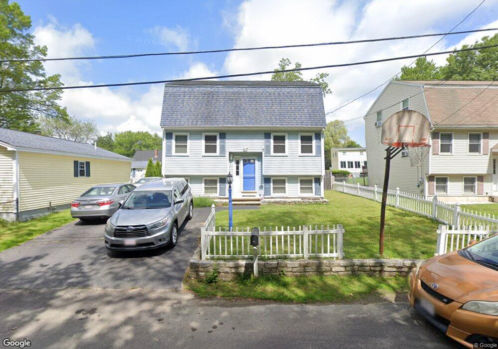
41 Hoover St Dracut, MA 01826
Estimated Value: $530,000 - $573,000
3
Beds
3
Baths
1,464
Sq Ft
$375/Sq Ft
Est. Value
About This Home
This home is located at 41 Hoover St, Dracut, MA 01826 and is currently estimated at $549,345, approximately $375 per square foot. 41 Hoover St is a home located in Middlesex County with nearby schools including George H. Englesby Elementary School, Richardson Middle School, and Dracut Senior High School.
Ownership History
Date
Name
Owned For
Owner Type
Purchase Details
Closed on
Apr 27, 2004
Sold by
Marchand Thomas E
Bought by
Kawuba Sulaiman S and Nabulya Annette
Current Estimated Value
Home Financials for this Owner
Home Financials are based on the most recent Mortgage that was taken out on this home.
Original Mortgage
$270,000
Outstanding Balance
$125,700
Interest Rate
5.4%
Mortgage Type
Purchase Money Mortgage
Estimated Equity
$423,645
Purchase Details
Closed on
Mar 22, 1993
Sold by
Comfort Homes Inc
Bought by
Marchand Thomas E and Marchand Diane C
Home Financials for this Owner
Home Financials are based on the most recent Mortgage that was taken out on this home.
Original Mortgage
$94,600
Interest Rate
7.75%
Mortgage Type
Purchase Money Mortgage
Create a Home Valuation Report for This Property
The Home Valuation Report is an in-depth analysis detailing your home's value as well as a comparison with similar homes in the area
Home Values in the Area
Average Home Value in this Area
Purchase History
| Date | Buyer | Sale Price | Title Company |
|---|---|---|---|
| Kawuba Sulaiman S | $270,000 | -- | |
| Marchand Thomas E | $119,000 | -- |
Source: Public Records
Mortgage History
| Date | Status | Borrower | Loan Amount |
|---|---|---|---|
| Open | Kawuba Sulaiman S | $270,000 | |
| Previous Owner | Marchand Thomas E | $126,000 | |
| Previous Owner | Marchand Thomas E | $94,600 |
Source: Public Records
Tax History
| Year | Tax Paid | Tax Assessment Tax Assessment Total Assessment is a certain percentage of the fair market value that is determined by local assessors to be the total taxable value of land and additions on the property. | Land | Improvement |
|---|---|---|---|---|
| 2025 | $4,782 | $472,500 | $161,900 | $310,600 |
| 2024 | $4,616 | $441,700 | $154,200 | $287,500 |
| 2023 | $4,471 | $386,100 | $134,100 | $252,000 |
| 2022 | $4,335 | $352,700 | $121,900 | $230,800 |
| 2021 | $9,770 | $329,300 | $110,800 | $218,500 |
| 2020 | $4,140 | $310,100 | $107,600 | $202,500 |
| 2019 | $3,953 | $287,500 | $102,500 | $185,000 |
| 2018 | $3,952 | $279,500 | $102,500 | $177,000 |
| 2017 | $3,914 | $279,500 | $102,500 | $177,000 |
| 2016 | $3,887 | $261,900 | $98,500 | $163,400 |
| 2015 | $3,737 | $250,300 | $98,500 | $151,800 |
| 2014 | $3,482 | $240,300 | $98,500 | $141,800 |
Source: Public Records
Map
Nearby Homes
- 101 Donohue Rd Unit 19
- 109 Navy Yard Rd
- 67 Glennon Ave
- 15 Louis Farm Rd Unit 15
- 94 Hampson St
- 91 Frederick St Unit 77
- 19 Louis Farm Rd Unit 19
- 13 Louis Farm Rd Unit 13
- 42 Frederick St Unit 9
- 2300 Skyline Dr Unit 3
- 9 Arbor Dr
- 39 Phoebe Ave
- 1400 Skyline Dr Unit 6
- 49 Sparks St
- 28 Sarah Ave
- 30 4th Ave
- 105 Columbia Rd
- 75 Sladen St
- 94 Tennis Plaza Rd Unit 10
- 89 Mammoth Rd
- 37 Hoover St
- 33 Hoover St
- 175 Gerrish Ave
- 171 Gerrish Ave
- 181 Gerrish Ave
- 185 Gerrish Ave
- 95 Homefield Ave
- 27 Hoover St
- 191 Gerrish Ave
- 24 Hoover St
- 155 Gerrish Ave
- 190 Gerrish Ave
- 162 Gerrish Ave
- 195 Gerrish Ave
- 69 Homefield Ave
- 192 Gerrish Ave
- 149 Gerrish Ave
- 154 Gerrish Ave
- 11 Hoover St
- 121 Homefield Ave
Your Personal Tour Guide
Ask me questions while you tour the home.