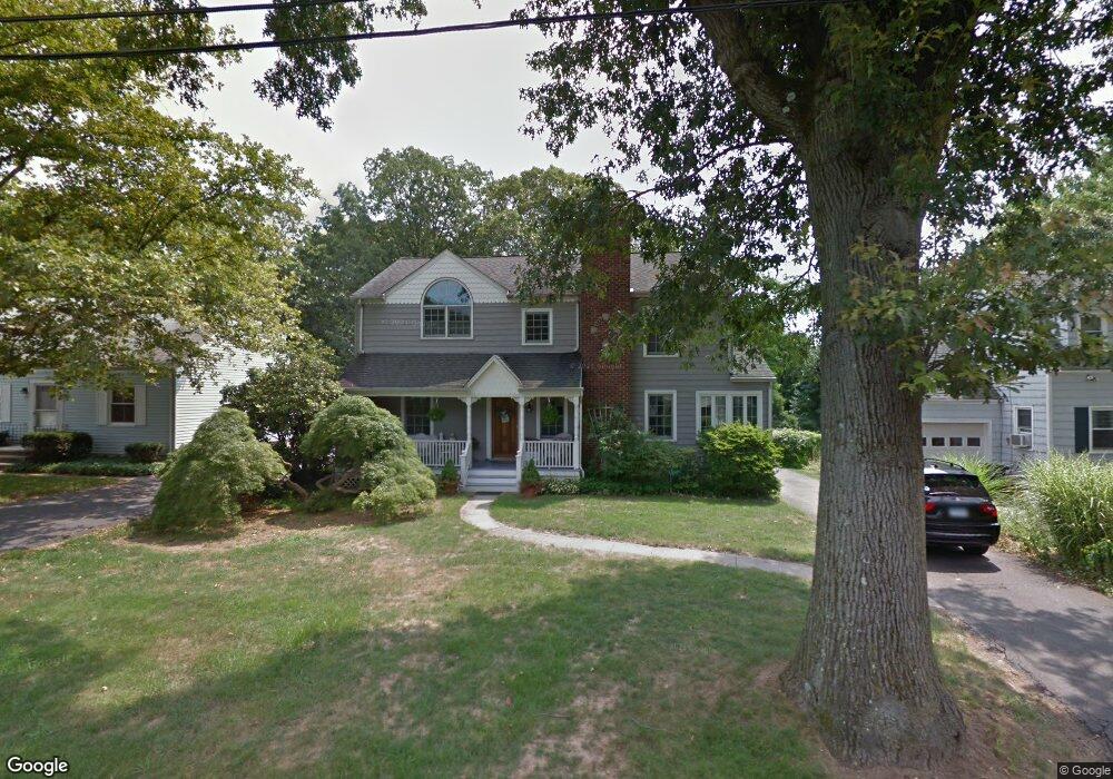
41 Kane Ave Stamford, CT 06905
Turn of the River-Newfield NeighborhoodEstimated Value: $725,000 - $1,024,510
3
Beds
3
Baths
2,532
Sq Ft
$352/Sq Ft
Est. Value
About This Home
This home is located at 41 Kane Ave, Stamford, CT 06905 and is currently estimated at $891,128, approximately $351 per square foot. 41 Kane Ave is a home located in Fairfield County with nearby schools including Davenport Ridge Elementary School, Rippowam Middle School, and Stamford High School.
Ownership History
Date
Name
Owned For
Owner Type
Purchase Details
Closed on
Jan 3, 1995
Sold by
Koda Walter
Bought by
Valenti William C and Lacenti Cynthia L
Current Estimated Value
Home Financials for this Owner
Home Financials are based on the most recent Mortgage that was taken out on this home.
Original Mortgage
$168,000
Interest Rate
9.2%
Mortgage Type
Purchase Money Mortgage
Create a Home Valuation Report for This Property
The Home Valuation Report is an in-depth analysis detailing your home's value as well as a comparison with similar homes in the area
Home Values in the Area
Average Home Value in this Area
Purchase History
| Date | Buyer | Sale Price | Title Company |
|---|---|---|---|
| Valenti William C | $210,000 | -- | |
| Valenti William C | $210,000 | -- |
Source: Public Records
Mortgage History
| Date | Status | Borrower | Loan Amount |
|---|---|---|---|
| Open | Valenti William C | $144,500 | |
| Closed | Valenti William C | $168,000 |
Source: Public Records
Tax History
| Year | Tax Paid | Tax Assessment Tax Assessment Total Assessment is a certain percentage of the fair market value that is determined by local assessors to be the total taxable value of land and additions on the property. | Land | Improvement |
|---|---|---|---|---|
| 2025 | $12,022 | $508,120 | $265,990 | $242,130 |
| 2024 | $11,758 | $508,120 | $265,990 | $242,130 |
| 2023 | $12,632 | $508,120 | $265,990 | $242,130 |
| 2022 | $11,001 | $411,410 | $207,040 | $204,370 |
| 2021 | $10,882 | $411,410 | $207,040 | $204,370 |
| 2020 | $10,602 | $411,410 | $207,040 | $204,370 |
| 2019 | $10,602 | $411,410 | $207,040 | $204,370 |
| 2018 | $10,211 | $411,410 | $207,040 | $204,370 |
| 2017 | $10,095 | $388,260 | $192,780 | $195,480 |
| 2016 | $9,811 | $388,260 | $192,780 | $195,480 |
| 2015 | $9,555 | $388,260 | $192,780 | $195,480 |
| 2014 | $9,237 | $388,260 | $192,780 | $195,480 |
Source: Public Records
Map
Nearby Homes
- 78 Vine Rd
- 14 Barmore Dr
- 55 Merriman Rd
- 95 Intervale Rd Unit 46
- 865 High Ridge Rd Unit 1
- 7 the Reserve at Sterling Ridge
- 156 Intervale Rd
- 136 Shadow Ridge Rd
- 62 Ridge Park Ave
- 47 Wood Ridge Dr
- 59 Emerald Ln
- 154 Knox Rd
- 15 Four Brooks Cir
- 53 Waterview Way
- 53 Waterview Way Unit 53
- 130 Mulberry St
- 119 Wedgemere Rd
- 48 Briarwood Ln
- 1 Megan Ln
- 49 Minivale Rd
Your Personal Tour Guide
Ask me questions while you tour the home.