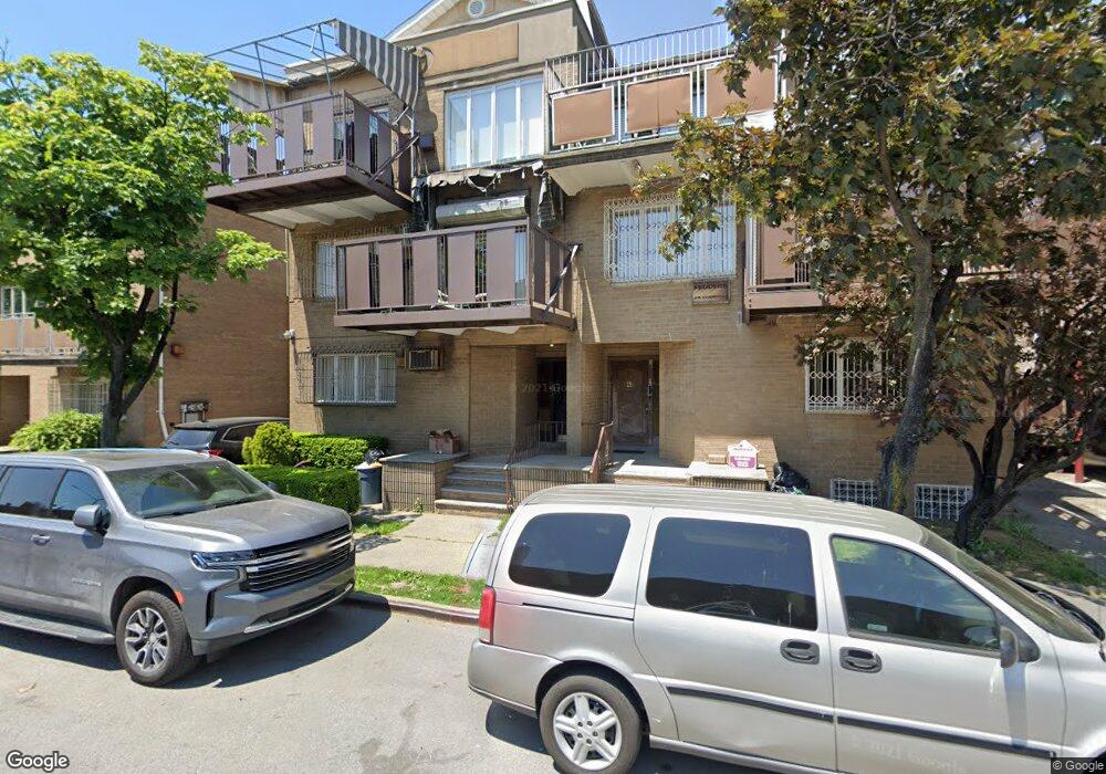
41 Keap St Unit 3 Brooklyn, NY 11211
South Williamsburg NeighborhoodEstimated Value: $1,203,000 - $1,832,000
--
Bed
--
Bath
1,881
Sq Ft
$818/Sq Ft
Est. Value
About This Home
This home is located at 41 Keap St Unit 3, Brooklyn, NY 11211 and is currently estimated at $1,539,095, approximately $818 per square foot. 41 Keap St Unit 3 is a home located in Kings County with nearby schools including P.S. 16 Leonard Dunkly, KHHD Yoel of Satmar Bp, and Talmud Torah Tzemach Tzadik Viznitz.
Ownership History
Date
Name
Owned For
Owner Type
Purchase Details
Closed on
Jan 29, 2009
Sold by
Landau Esther
Bought by
41 Keap Street Llc
Current Estimated Value
Purchase Details
Closed on
Dec 19, 1994
Sold by
Rosenberg Lenka
Bought by
Landauy Wolf and Landau Esther
Home Financials for this Owner
Home Financials are based on the most recent Mortgage that was taken out on this home.
Original Mortgage
$157,500
Interest Rate
7.82%
Create a Home Valuation Report for This Property
The Home Valuation Report is an in-depth analysis detailing your home's value as well as a comparison with similar homes in the area
Home Values in the Area
Average Home Value in this Area
Purchase History
| Date | Buyer | Sale Price | Title Company |
|---|---|---|---|
| 41 Keap Street Llc | $392,000 | -- | |
| Landauy Wolf | -- | -- |
Source: Public Records
Mortgage History
| Date | Status | Borrower | Loan Amount |
|---|---|---|---|
| Previous Owner | Landauy Wolf | $157,500 |
Source: Public Records
Tax History Compared to Growth
Tax History
| Year | Tax Paid | Tax Assessment Tax Assessment Total Assessment is a certain percentage of the fair market value that is determined by local assessors to be the total taxable value of land and additions on the property. | Land | Improvement |
|---|---|---|---|---|
| 2025 | $4,515 | $82,060 | $1,800 | $80,260 |
| 2024 | $4,515 | $72,080 | $1,800 | $70,280 |
| 2023 | $4,307 | $63,700 | $1,800 | $61,900 |
| 2022 | $3,007 | $58,720 | $1,800 | $56,920 |
| 2021 | $3,988 | $42,220 | $1,800 | $40,420 |
| 2020 | $1,982 | $48,820 | $1,800 | $47,020 |
| 2019 | $3,919 | $51,381 | $1,800 | $49,581 |
| 2018 | $3,602 | $17,672 | $836 | $16,836 |
| 2017 | $3,412 | $16,738 | $855 | $15,883 |
| 2016 | $2,847 | $15,792 | $1,088 | $14,704 |
| 2015 | $1,680 | $15,792 | $1,469 | $14,323 |
| 2014 | $1,680 | $15,610 | $1,743 | $13,867 |
Source: Public Records
Map
Nearby Homes
- 616 Bedford Ave Unit 5C
- 616 Bedford Ave Unit 6B
- 616 Bedford Ave Unit 5A
- 764 Kent Ave Unit 2
- 104 Division Ave Unit 20
- 108 Division Ave Unit 22
- 90 Heyward St
- 480 Kent Ave Unit 18F
- 480 Kent Ave Unit 11A
- 480 Kent Ave Unit PHG
- 480 Kent Ave Unit PHC
- 480 Kent Ave Unit 18B
- 480 Kent Ave Unit 10D
- 480 Kent Ave Unit 16F
- 480 Kent Ave Unit 14G
- 480 Kent Ave Unit 21D
- 480 Kent Ave Unit 10A
- 480 Kent Ave Unit 18D
- 480 Kent Ave Unit 16C
- 480 Kent Ave Unit PHB