41 Knights Mountain Rd Dahlonega, GA 30533
Estimated Value: $681,000 - $1,322,564
3
Beds
2
Baths
1,500
Sq Ft
$622/Sq Ft
Est. Value
About This Home
Property Id: 1211349
Newly renovated in 2023. New appliances, fixtures, everything! Desirable 3BR/2BA ranch home in a peaceful setting on acreage overlooking your own private lake. Very Private and Peaceful Quiet. Paved Driveway. Large Screened in Porch. Only 6 miles south of Dahlonega on Hwy 9 and 12 miles north of Dawsonville. Lumpkin County Schools. A great place to call home. Pets welcome with Pet Deposit.
Ownership History
Date
Name
Owned For
Owner Type
Purchase Details
Closed on
Sep 9, 2021
Sold by
Knight Rhonda Faye
Bought by
Knights Mountain Llc
Current Estimated Value
Purchase Details
Closed on
Jun 20, 2007
Sold by
Not Provided
Bought by
Knight R Faye
Purchase Details
Closed on
Dec 7, 2000
Sold by
Meikle Faye Knight
Bought by
Knight R Faye
Purchase Details
Closed on
Aug 1, 2000
Sold by
Meikle Faye K
Bought by
Meikle Faye Knight
Purchase Details
Closed on
Aug 2, 1996
Sold by
Tanner Mona
Bought by
Meikle Faye K
Purchase Details
Closed on
Aug 24, 1995
Bought by
Tanner Mona
Create a Home Valuation Report for This Property
The Home Valuation Report is an in-depth analysis detailing your home's value as well as a comparison with similar homes in the area
Home Values in the Area
Average Home Value in this Area
Purchase History
| Date | Buyer | Sale Price | Title Company |
|---|---|---|---|
| Knights Mountain Llc | $502,173 | -- | |
| Knight R Faye | -- | -- | |
| Knight R Faye | -- | -- | |
| Meikle Faye Knight | -- | -- | |
| Meikle Faye K | -- | -- | |
| Tanner Mona | -- | -- |
Source: Public Records
Property History
| Date | Event | Price | List to Sale | Price per Sq Ft |
|---|---|---|---|---|
| 08/05/2025 08/05/25 | Off Market | $2,200 | -- | -- |
| 07/02/2025 07/02/25 | For Rent | $2,200 | -- | -- |
Tax History Compared to Growth
Tax History
| Year | Tax Paid | Tax Assessment Tax Assessment Total Assessment is a certain percentage of the fair market value that is determined by local assessors to be the total taxable value of land and additions on the property. | Land | Improvement |
|---|---|---|---|---|
| 2024 | $8,761 | $374,013 | $305,342 | $68,671 |
| 2023 | $7,696 | $327,202 | $263,226 | $63,976 |
| 2022 | $4,973 | $296,077 | $239,296 | $56,781 |
| 2021 | $5,540 | $285,399 | $238,376 | $47,023 |
| 2020 | $529 | $284,059 | $238,376 | $45,683 |
| 2019 | $516 | $284,059 | $238,376 | $45,683 |
| 2018 | $531 | $278,937 | $238,376 | $40,561 |
| 2017 | $523 | $278,582 | $238,376 | $40,206 |
| 2016 | $523 | $273,550 | $238,376 | $35,174 |
| 2015 | $431 | $273,551 | $238,376 | $35,174 |
| 2014 | $431 | $274,540 | $238,376 | $36,163 |
| 2013 | -- | $276,644 | $236,631 | $40,013 |
Source: Public Records
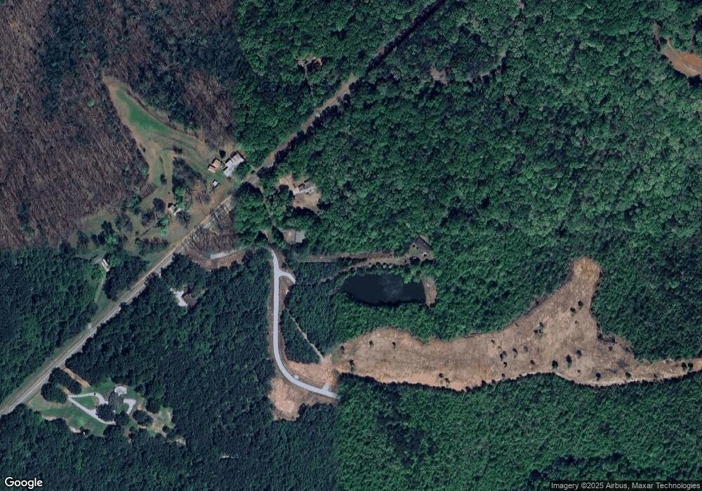
Map
Nearby Homes
- 0x Pink Williams Rd
- 0x Pink Williams Rd Unit 124AC
- 194 Deerfield Dr
- 150 Buck Run E
- 6418 Dawsonville Hwy
- 27 Bryn Ct
- 0 Rainmore Dr Unit 7620063
- 0 Rainmore Dr Unit 10570615
- 221 Laurel Cir
- 50 Hannahs Ct
- 1044 Rider Rd
- 103 Rainmore Dr
- 486 Laurel Cir
- 33 T J Mote Rd
- 33 Tj Mote Rd
- 49 Makers Way
- 0 Rider Rd Unit 7481902
- 0 Rider Rd Unit 10408283
- 322 Miller Dr
- 382 Candler Ln
- 35 Knights Mountain Rd
- 5471 Dawsonville Hwy
- 5555 Dawsonville Hwy
- 5502 Dawsonville Hwy
- 5416 Dawsonville Hwy
- 5536 Dawsonville Hwy
- 5682 Dawsonville Hwy
- 147 Patriot Trail
- 5131 Dawsonville Hwy
- 148 Patriot Trail
- 5743 Dawsonville Hwy
- 143 Patriot Trail
- 142 Patriot Trail
- 5116 Dawsonville Hwy
- 118 Patriot Trail
- 123 Patriot Trail
- 101 Patriot Trail
- 94 Patriot Trail
- 69 Lost Place
- 6 Patriot Trail