41 Lake Dr Ashland, PA 17921
Estimated Value: $100,000 - $142,000
2
Beds
1
Bath
884
Sq Ft
$138/Sq Ft
Est. Value
About This Home
This home is located at 41 Lake Dr, Ashland, PA 17921 and is currently estimated at $121,690, approximately $137 per square foot. 41 Lake Dr is a home located in Schuylkill County with nearby schools including Tri-Valley Junior/Senior High School.
Ownership History
Date
Name
Owned For
Owner Type
Purchase Details
Closed on
Nov 3, 2025
Sold by
Aws Realty Llc
Bought by
Schuylkill Holdings Llc
Current Estimated Value
Purchase Details
Closed on
Oct 17, 2024
Sold by
Tax Claim Bureau Of The County Of Schuyl
Bought by
Aws Realty Llc
Purchase Details
Closed on
Jan 27, 2014
Sold by
Conley Dale R and Conley Anne Marie
Bought by
Fantastic Llc
Purchase Details
Closed on
Nov 3, 2006
Sold by
Conley Dale R and Conley Anne Marie
Bought by
King Betty J and King Jeffrey L
Create a Home Valuation Report for This Property
The Home Valuation Report is an in-depth analysis detailing your home's value as well as a comparison with similar homes in the area
Home Values in the Area
Average Home Value in this Area
Purchase History
| Date | Buyer | Sale Price | Title Company |
|---|---|---|---|
| Schuylkill Holdings Llc | $5,000 | None Listed On Document | |
| Aws Realty Llc | $5,000 | None Listed On Document | |
| Fantastic Llc | $10,500 | None Available | |
| King Betty J | $30,000 | None Available | |
| Conley Dale R | $30,000 | None Available |
Source: Public Records
Tax History Compared to Growth
Tax History
| Year | Tax Paid | Tax Assessment Tax Assessment Total Assessment is a certain percentage of the fair market value that is determined by local assessors to be the total taxable value of land and additions on the property. | Land | Improvement |
|---|---|---|---|---|
| 2025 | $1,101 | $16,595 | $3,755 | $12,840 |
| 2024 | $965 | $16,595 | $3,755 | $12,840 |
| 2023 | $929 | $16,595 | $3,755 | $12,840 |
| 2022 | $901 | $16,595 | $3,755 | $12,840 |
| 2021 | $874 | $16,595 | $3,755 | $12,840 |
| 2020 | $874 | $16,595 | $3,755 | $12,840 |
| 2018 | $839 | $16,595 | $3,755 | $12,840 |
| 2017 | $805 | $16,595 | $3,755 | $12,840 |
| 2015 | -- | $16,595 | $3,755 | $12,840 |
| 2011 | -- | $16,595 | $0 | $0 |
Source: Public Records
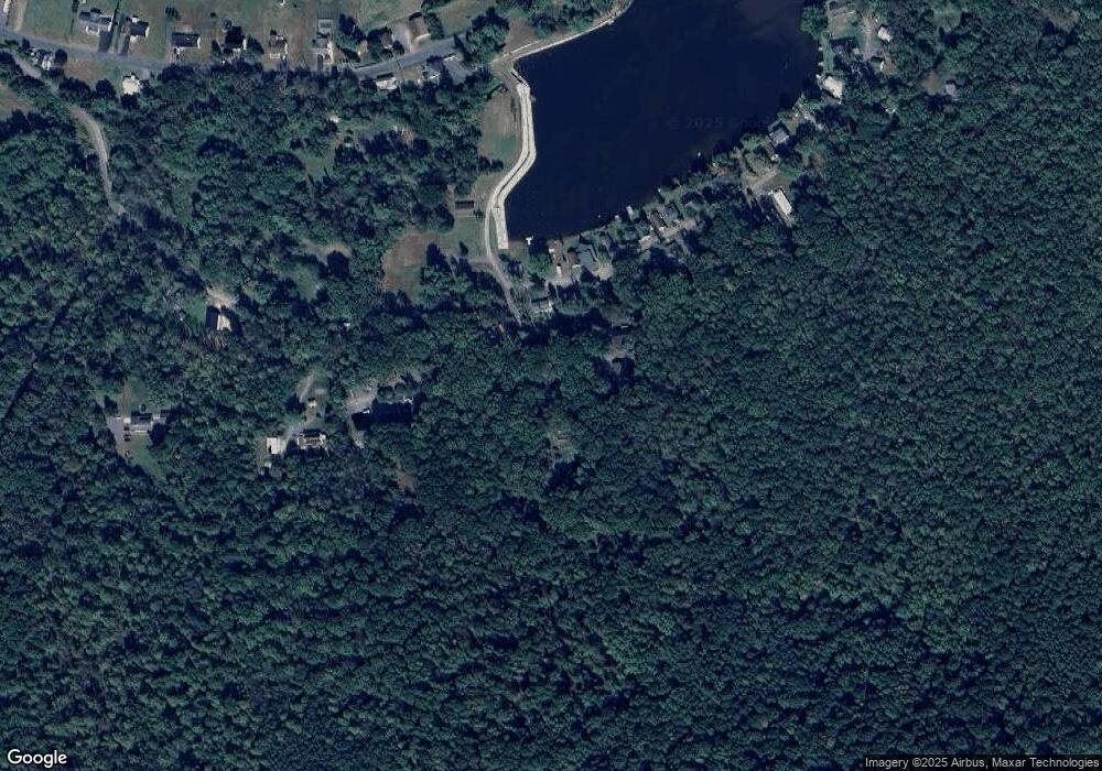
Map
Nearby Homes
- 0 Airport Rd Unit PASK2024112
- 572 Airport Rd
- 604 Airport Rd
- 31 Upper Beechwood Ave
- 416 Dutchtown Rd
- 0 W Side of Stein Rd
- 505 Mcknight St
- 323 N Hobart St
- 60 South St
- 310 Hobart St
- 0 Weishample Rd Unit 20-101360
- 0 Dutchtown Rd
- Cambridge Plan at Country Club Estates
- New Yorker Plan at Country Club Estates
- Juniper Plan at Country Club Estates
- Stafford Plan at Country Club Estates
- Iowa Plan at Country Club Estates
- 522 Forest Ln
- 2200 Spruce St
- 132 Turnpike Rd