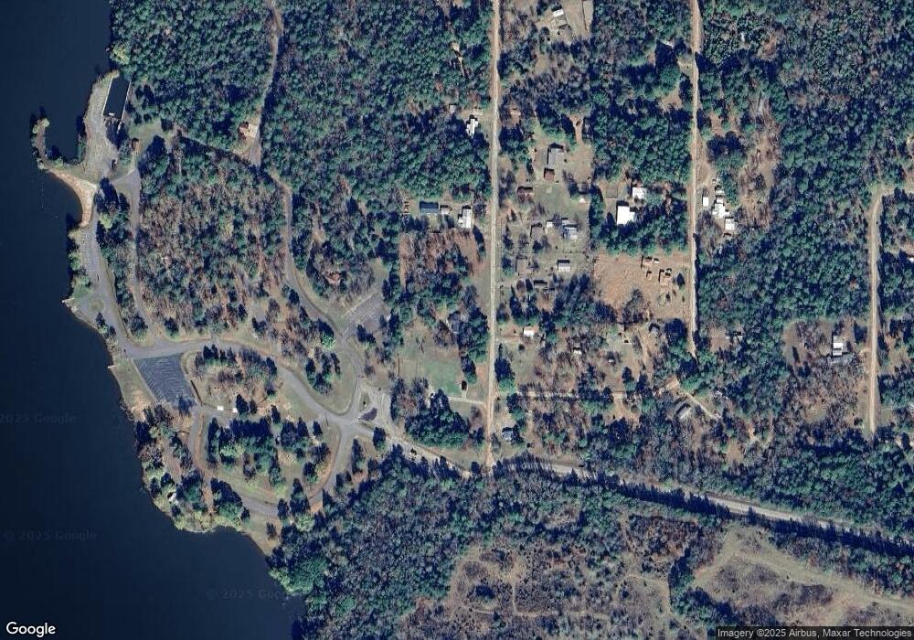
41 Lakeside Dr New Blaine, AR 72851
Estimated Value: $170,524 - $196,000
3
Beds
2
Baths
1,247
Sq Ft
$145/Sq Ft
Est. Value
About This Home
This home is located at 41 Lakeside Dr, New Blaine, AR 72851 and is currently estimated at $181,381, approximately $145 per square foot. 41 Lakeside Dr is a home located in Logan County with nearby schools including Paris Elementary School, Paris Middle School, and Paris High School.
Ownership History
Date
Name
Owned For
Owner Type
Purchase Details
Closed on
Dec 17, 2020
Bought by
Pryor Phillip Lane
Current Estimated Value
Purchase Details
Closed on
May 21, 2020
Bought by
Pryor Phillip Lane
Purchase Details
Closed on
Jul 20, 2012
Bought by
Haling William L
Purchase Details
Closed on
Jul 22, 2010
Bought by
Haling William and Murdock Karen S
Home Financials for this Owner
Home Financials are based on the most recent Mortgage that was taken out on this home.
Original Mortgage
$45,000
Interest Rate
4.69%
Purchase Details
Closed on
Oct 7, 2009
Bought by
Sample Paul
Purchase Details
Closed on
Jul 22, 2002
Bought by
Exparte
Purchase Details
Closed on
Oct 1, 1992
Bought by
Sample
Purchase Details
Closed on
Dec 1, 1991
Bought by
Sample and Sample Hopkins
Create a Home Valuation Report for This Property
The Home Valuation Report is an in-depth analysis detailing your home's value as well as a comparison with similar homes in the area
Home Values in the Area
Average Home Value in this Area
Purchase History
| Date | Buyer | Sale Price | Title Company |
|---|---|---|---|
| Pryor Phillip Lane | $135,000 | -- | |
| Pryor Phillip Lane | $35,000 | -- | |
| Haling William L | -- | -- | |
| Haling William | $50,000 | -- | |
| Sample Paul | -- | -- | |
| Exparte | -- | -- | |
| Sample | -- | -- | |
| Sample | -- | -- |
Source: Public Records
Mortgage History
| Date | Status | Borrower | Loan Amount |
|---|---|---|---|
| Previous Owner | Haling William | $45,000 |
Source: Public Records
Tax History Compared to Growth
Tax History
| Year | Tax Paid | Tax Assessment Tax Assessment Total Assessment is a certain percentage of the fair market value that is determined by local assessors to be the total taxable value of land and additions on the property. | Land | Improvement |
|---|---|---|---|---|
| 2024 | $73 | $12,490 | $1,600 | $10,890 |
| 2023 | $573 | $12,490 | $1,600 | $10,890 |
| 2022 | $198 | $12,490 | $1,600 | $10,890 |
| 2021 | $198 | $12,490 | $1,600 | $10,890 |
| 2020 | $199 | $12,490 | $1,600 | $10,890 |
| 2019 | $573 | $12,600 | $1,600 | $11,000 |
| 2018 | $578 | $12,600 | $1,600 | $11,000 |
| 2017 | $578 | $12,600 | $1,600 | $11,000 |
| 2016 | $578 | $12,600 | $1,600 | $11,000 |
| 2015 | -- | $11,850 | $1,600 | $10,250 |
| 2014 | -- | $11,850 | $1,600 | $10,250 |
| 2013 | -- | $11,850 | $1,600 | $10,250 |
Source: Public Records
Map
Nearby Homes
- 106 Lakeside Dr
- 114 Lakeside Dr
- 465 Boyd Dr
- 385 Boyd Dr
- 0 Undetermined Unit 1315444
- 0 Arkansas 22
- 651 Highway 197 Loop
- na Spring Lake Rd
- 132 Elizabeth Hall Rd
- 136 Masonic Way
- 527 Thompson Bay Rd
- 299 Foy Ln
- 2220 Dublin Rd
- 13 Artesian Well Rd
- 3429 River Mountain Rd
- 0000 Dublin Rd
- 000 Dublin Rd
- 1468 River Mount Rd
- 900 Cr 1651
- 164 Cross Rd
