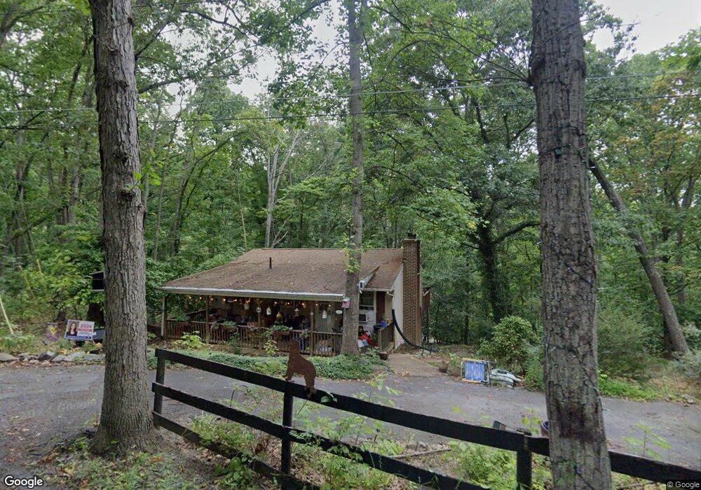
41 Laurel Hill Rd Harpers Ferry, WV 25425
Estimated Value: $382,000 - $442,000
3
Beds
2
Baths
1,539
Sq Ft
$266/Sq Ft
Est. Value
About This Home
This home is located at 41 Laurel Hill Rd, Harpers Ferry, WV 25425 and is currently estimated at $409,170, approximately $265 per square foot. 41 Laurel Hill Rd is a home located in Jefferson County with nearby schools including Blue Ridge Elementary School, Harpers Ferry Middle School, and Washington High School.
Ownership History
Date
Name
Owned For
Owner Type
Purchase Details
Closed on
Oct 19, 2018
Sold by
Wells Gregory A and Wells Carolina C
Bought by
Bendit Joshua H and Long Kristin M
Current Estimated Value
Home Financials for this Owner
Home Financials are based on the most recent Mortgage that was taken out on this home.
Original Mortgage
$192,676
Outstanding Balance
$168,025
Interest Rate
4.5%
Mortgage Type
New Conventional
Estimated Equity
$241,145
Create a Home Valuation Report for This Property
The Home Valuation Report is an in-depth analysis detailing your home's value as well as a comparison with similar homes in the area
Home Values in the Area
Average Home Value in this Area
Purchase History
| Date | Buyer | Sale Price | Title Company |
|---|---|---|---|
| Bendit Joshua H | $218,000 | None Available |
Source: Public Records
Mortgage History
| Date | Status | Borrower | Loan Amount |
|---|---|---|---|
| Open | Bendit Joshua H | $192,676 |
Source: Public Records
Tax History Compared to Growth
Tax History
| Year | Tax Paid | Tax Assessment Tax Assessment Total Assessment is a certain percentage of the fair market value that is determined by local assessors to be the total taxable value of land and additions on the property. | Land | Improvement |
|---|---|---|---|---|
| 2024 | $2,297 | $196,200 | $75,400 | $120,800 |
| 2023 | $2,292 | $196,200 | $75,400 | $120,800 |
| 2022 | $1,845 | $154,800 | $48,200 | $106,600 |
| 2021 | $1,731 | $142,500 | $48,200 | $94,300 |
| 2020 | $1,567 | $137,700 | $48,200 | $89,500 |
| 2019 | $1,597 | $137,700 | $48,200 | $89,500 |
| 2018 | $1,417 | $120,600 | $33,200 | $87,400 |
| 2017 | $1,345 | $114,500 | $27,100 | $87,400 |
| 2016 | $1,334 | $113,900 | $25,600 | $88,300 |
| 2015 | $1,277 | $108,400 | $25,600 | $82,800 |
| 2014 | $1,213 | $103,200 | $25,600 | $77,600 |
Source: Public Records
Map
Nearby Homes
- 93 Old Sycamore Ln
- 0 Estes Way
- 23 Heavenwood Ln
- Lot 54 (Sec 9 #22) Wagon Trail Rd
- Lot 55 (Sec 9 #23) Wagon Trail Rd
- 0 Camp Hill Ln
- 291 River View Dr
- 33 River View Dr
- 87 Blue Ridge Loop
- 0 Skyhawk Trail
- 155 White Fox Trail
- 0 Bear Run
- 185 Skyhawk Trail
- Lot 107 Smokey Bear Trail
- 105 Chestnut Ln
- Lots 76 & 77 Pink Bud Trail
- 808 Chestnut Hill Rd
- 0 Red Maple Ln
- Sections I#3, I#4, J Mountain Top Trail
- 0 Mountain Top Trail
- 1098 Eagles Nest Ln
- 1227 Eagles Nest Ln
- 1277 Eagles Nest Ln
- 604 W Washington St
- 690 W Washington St
- 713 Lakeside Dr
- 19 Barbara Ln
- 63 Wide River Farm Dr
- 63 Beechwood Ln
- 7 Carlson Ln
- 167 Main Drag Way
- 1574 Rowles St
- 210 Shenanwood Dr
- 172 Shenanwood Dr
- 34 Old Sycamore Ln
- 181 Shenanwood Dr
- 164 Estes Way Unit 519
- 177 Shenanwood Dr
- 302 Shenanwood Dr
- 302 Shenanwood Dr