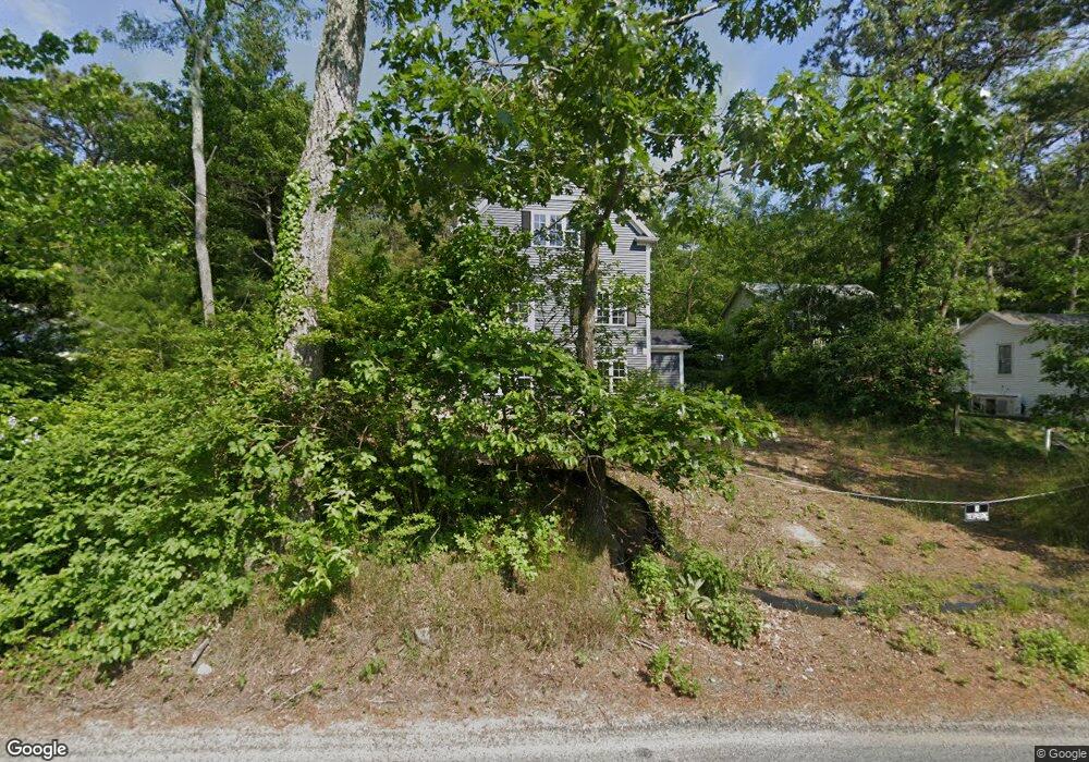
41 Lookout Rd Plymouth, MA 02360
Estimated Value: $353,000 - $502,000
2
Beds
2
Baths
1,152
Sq Ft
$367/Sq Ft
Est. Value
About This Home
This home is located at 41 Lookout Rd, Plymouth, MA 02360 and is currently estimated at $422,905, approximately $367 per square foot. 41 Lookout Rd is a home located in Plymouth County with nearby schools including Indian Brook, Plymouth South Middle School, and Plymouth South High School.
Ownership History
Date
Name
Owned For
Owner Type
Purchase Details
Closed on
Aug 22, 2018
Sold by
Nardelli Antonio
Bought by
Winship Lance A
Current Estimated Value
Home Financials for this Owner
Home Financials are based on the most recent Mortgage that was taken out on this home.
Original Mortgage
$94,000
Outstanding Balance
$81,635
Interest Rate
4.5%
Mortgage Type
New Conventional
Estimated Equity
$341,270
Create a Home Valuation Report for This Property
The Home Valuation Report is an in-depth analysis detailing your home's value as well as a comparison with similar homes in the area
Home Values in the Area
Average Home Value in this Area
Purchase History
| Date | Buyer | Sale Price | Title Company |
|---|---|---|---|
| Winship Lance A | $99,000 | -- |
Source: Public Records
Mortgage History
| Date | Status | Borrower | Loan Amount |
|---|---|---|---|
| Open | Winship Lance A | $94,000 |
Source: Public Records
Tax History Compared to Growth
Tax History
| Year | Tax Paid | Tax Assessment Tax Assessment Total Assessment is a certain percentage of the fair market value that is determined by local assessors to be the total taxable value of land and additions on the property. | Land | Improvement |
|---|---|---|---|---|
| 2025 | $3,093 | $243,700 | $160,300 | $83,400 |
| 2024 | $3,643 | $283,100 | $157,000 | $126,100 |
| 2023 | $3,260 | $237,800 | $137,000 | $100,800 |
| 2022 | $3,021 | $195,800 | $124,600 | $71,200 |
| 2021 | $3,046 | $188,500 | $124,600 | $63,900 |
| 2020 | $2,248 | $137,500 | $121,300 | $16,200 |
| 2019 | $2,054 | $124,200 | $108,000 | $16,200 |
| 2018 | $1,908 | $115,900 | $99,700 | $16,200 |
| 2017 | $1,872 | $112,900 | $99,700 | $13,200 |
| 2016 | $1,702 | $104,600 | $91,400 | $13,200 |
| 2015 | $1,625 | $104,600 | $91,400 | $13,200 |
| 2014 | $1,581 | $104,500 | $91,400 | $13,100 |
Source: Public Records
Map
Nearby Homes
- 249 Little Sandy Pond Rd
- 110 Valley Rd
- 1096 Long Pond Rd
- 119 Nathan Ln
- 1 Kara's Way
- 1150 Long Pond Rd
- 5 Laurie Ann's Ln
- 101 Perseverance Path
- 29 Pioneer Trail
- 146 Herring Pond Rd
- 12 Kara's Way
- 455 Lunns Way
- 8 Joyce Dr
- 72 Kirk Cir
- 464 Lunns Way
- 43 Freeman Dr
- 18 Westcliff Dr
- 20 Westcliff Dr Unit 20
- 4 Westcliff Dr Unit Golfview
- 2462 State Rd
- 39 Lookout Rd
- 43 Lookout Rd
- 164 Little Sandy Pond Rd
- 168 Little Sandy Pond Rd
- 165 Little Sandy Pond Rd
- 0 Summit Rd
- 167 Little Sandy Pond Rd
- 12 Summit Rd Unit n/a
- 12 Summit Rd
- 1 Smaland Ln
- 160 Little Sandy Pond Rd
- 161 Little Sandy Pond Rd
- 9 Smaland Ln
- 17 Smaland Ln
- 173 Little Sandy Pond Rd
- 178 Little Sandy Pond Rd
- 158 Little Sandy Pond Rd
- 5 Smaland Ln
- 157 Little Sandy Pond Rd
- 16 Summit Rd