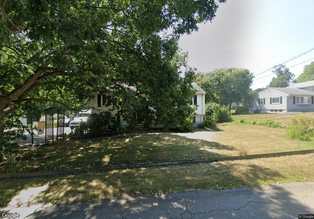
41 Loring St Brockton, MA 02302
Montello NeighborhoodEstimated Value: $519,000 - $566,000
3
Beds
1
Bath
1,596
Sq Ft
$336/Sq Ft
Est. Value
About This Home
This home is located at 41 Loring St, Brockton, MA 02302 and is currently estimated at $535,957, approximately $335 per square foot. 41 Loring St is a home located in Plymouth County with nearby schools including Brookfield Elementary School, Downey Elementary School, and Ashfield Middle School.
Create a Home Valuation Report for This Property
The Home Valuation Report is an in-depth analysis detailing your home's value as well as a comparison with similar homes in the area
Home Values in the Area
Average Home Value in this Area
Tax History Compared to Growth
Tax History
| Year | Tax Paid | Tax Assessment Tax Assessment Total Assessment is a certain percentage of the fair market value that is determined by local assessors to be the total taxable value of land and additions on the property. | Land | Improvement |
|---|---|---|---|---|
| 2025 | $5,614 | $463,600 | $176,100 | $287,500 |
| 2024 | $5,338 | $444,100 | $176,100 | $268,000 |
| 2023 | $5,570 | $429,100 | $143,200 | $285,900 |
| 2022 | $5,479 | $392,200 | $131,100 | $261,100 |
| 2021 | $4,987 | $343,900 | $114,700 | $229,200 |
| 2020 | $5,063 | $334,200 | $109,900 | $224,300 |
| 2019 | $4,533 | $291,700 | $101,500 | $190,200 |
| 2018 | $4,990 | $310,700 | $101,500 | $209,200 |
| 2017 | $4,331 | $269,000 | $101,500 | $167,500 |
| 2016 | $4,354 | $250,800 | $98,500 | $152,300 |
| 2015 | $4,167 | $229,600 | $98,500 | $131,100 |
| 2014 | $4,099 | $226,100 | $98,500 | $127,600 |
Source: Public Records
Map
Nearby Homes