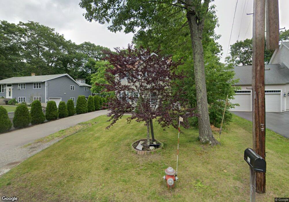
41 Macarthur Dr Millbury, MA 01527
Estimated Value: $378,077 - $469,000
3
Beds
2
Baths
1,380
Sq Ft
$316/Sq Ft
Est. Value
About This Home
This home is located at 41 Macarthur Dr, Millbury, MA 01527 and is currently estimated at $436,269, approximately $316 per square foot. 41 Macarthur Dr is a home with nearby schools including Elmwood Street Elementary School, Raymond E. Shaw Elementary School, and Millbury Junior/Senior High School.
Ownership History
Date
Name
Owned For
Owner Type
Purchase Details
Closed on
Jan 10, 2011
Sold by
Habitat Humanity Metro
Bought by
Lavalley Jennifer
Current Estimated Value
Home Financials for this Owner
Home Financials are based on the most recent Mortgage that was taken out on this home.
Original Mortgage
$140,178
Outstanding Balance
$93,098
Interest Rate
4.4%
Mortgage Type
Purchase Money Mortgage
Estimated Equity
$343,171
Purchase Details
Closed on
Feb 26, 2009
Sold by
Millbury Town Of
Bought by
Habitat For Humanity M
Create a Home Valuation Report for This Property
The Home Valuation Report is an in-depth analysis detailing your home's value as well as a comparison with similar homes in the area
Home Values in the Area
Average Home Value in this Area
Purchase History
| Date | Buyer | Sale Price | Title Company |
|---|---|---|---|
| Lavalley Jennifer | $140,178 | -- | |
| Lavalley Jennifer | $140,178 | -- | |
| Habitat For Humanity M | -- | -- | |
| Habitat For Humanity M | -- | -- |
Source: Public Records
Mortgage History
| Date | Status | Borrower | Loan Amount |
|---|---|---|---|
| Open | Lavalley Jennifer | $140,178 | |
| Closed | Habitat For Humanity M | $140,178 |
Source: Public Records
Tax History
| Year | Tax Paid | Tax Assessment Tax Assessment Total Assessment is a certain percentage of the fair market value that is determined by local assessors to be the total taxable value of land and additions on the property. | Land | Improvement |
|---|---|---|---|---|
| 2025 | $2,711 | $202,500 | $100,600 | $101,900 |
| 2024 | $2,679 | $202,500 | $93,200 | $109,300 |
| 2023 | $2,654 | $183,645 | $65,300 | $118,345 |
| 2022 | $2,755 | $183,645 | $65,300 | $118,345 |
| 2021 | $2,834 | $183,645 | $65,300 | $118,345 |
| 2020 | $2,815 | $183,645 | $65,300 | $118,345 |
| 2019 | $2,221 | $140,100 | $59,400 | $80,700 |
| 2018 | $6,782 | $140,100 | $59,400 | $80,700 |
| 2017 | $2,302 | $140,100 | $59,400 | $80,700 |
| 2016 | $2,306 | $140,100 | $59,400 | $80,700 |
| 2015 | $2,306 | $140,100 | $63,100 | $77,000 |
| 2014 | $2,396 | $140,100 | $63,100 | $77,000 |
Source: Public Records
Map
Nearby Homes
- 48 Macarthur Dr
- 2 Diane St
- 12 Irene Ct
- 8 Nightview Place
- 2 Wilson Rd Unit B
- 2 Wilson Rd Unit A
- 300 Millbury Ave
- 2 Riverlin Pkwy
- 7 Barbara St
- 5 Ann Dr Unit 5
- 11 Maplewood Rd
- 5 Lincoln Ln Unit 5
- 1459 Grafton Rd
- 16 Amherst St
- 6 Nathaniel St
- 20 Woodridge Rd
- 46 Lexington Rd
- 8 Lincoln Ave
- 7 Clarissa St
- 17 Lincoln Ave
- 43 Macarthur Dr
- 35 Macarthur Dr
- 1 Montgomery Dr
- 10 Rollie Shepard Dr
- 12 Rollie Shepard Dr
- 31 Macarthur Dr
- 8 Rollie Shepard Dr
- 40 Macarthur Dr
- 34 Macarthur Dr
- 42 Macarthur Dr
- 38 Macarthur Dr
- 44 Macarthur Dr
- 3 Montgomery Dr
- 14 Rollie Shepard Dr
- 47 Macarthur Dr
- 46 Macarthur Dr
- 27 Macarthur Dr
- 28 Macarthur Dr
- 6 Rollie Shepard Dr
- 2 Montgomery Dr
Your Personal Tour Guide
Ask me questions while you tour the home.