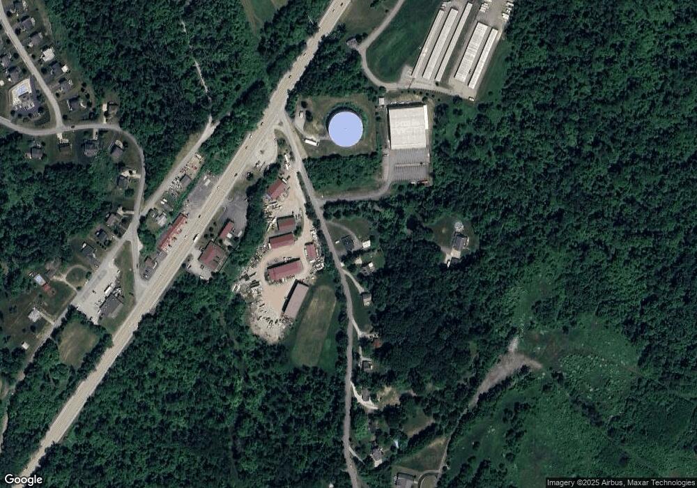
41 Mansfield Rd Washington, PA 15301
Estimated Value: $188,000 - $457,000
3
Beds
2
Baths
1,873
Sq Ft
$165/Sq Ft
Est. Value
About This Home
This home is located at 41 Mansfield Rd, Washington, PA 15301 and is currently estimated at $308,594, approximately $164 per square foot. 41 Mansfield Rd is a home located in Washington County with nearby schools including Canon-Mcmillan Senior High School and Central Christian Academy.
Ownership History
Date
Name
Owned For
Owner Type
Purchase Details
Closed on
Mar 31, 2022
Sold by
Tharp Robert N and Tharp Kathleen M
Bought by
Dalbo Dominick
Current Estimated Value
Home Financials for this Owner
Home Financials are based on the most recent Mortgage that was taken out on this home.
Original Mortgage
$150,000
Outstanding Balance
$141,505
Interest Rate
4.67%
Mortgage Type
New Conventional
Estimated Equity
$167,089
Purchase Details
Closed on
Jan 11, 2019
Sold by
Tharp Katherine M
Bought by
Tharp Robert N
Purchase Details
Closed on
Nov 3, 2003
Sold by
Mansfield Mark S
Bought by
Tharp Katherine M
Home Financials for this Owner
Home Financials are based on the most recent Mortgage that was taken out on this home.
Original Mortgage
$90,782
Interest Rate
6.05%
Mortgage Type
FHA
Create a Home Valuation Report for This Property
The Home Valuation Report is an in-depth analysis detailing your home's value as well as a comparison with similar homes in the area
Home Values in the Area
Average Home Value in this Area
Purchase History
| Date | Buyer | Sale Price | Title Company |
|---|---|---|---|
| Dalbo Dominick | $150,000 | None Listed On Document | |
| Tharp Robert N | -- | None Available | |
| Tharp Katherine M | $91,500 | -- |
Source: Public Records
Mortgage History
| Date | Status | Borrower | Loan Amount |
|---|---|---|---|
| Open | Dalbo Dominick | $150,000 | |
| Previous Owner | Tharp Katherine M | $90,782 |
Source: Public Records
Tax History Compared to Growth
Tax History
| Year | Tax Paid | Tax Assessment Tax Assessment Total Assessment is a certain percentage of the fair market value that is determined by local assessors to be the total taxable value of land and additions on the property. | Land | Improvement |
|---|---|---|---|---|
| 2025 | $2,788 | $163,100 | $56,500 | $106,600 |
| 2024 | $2,603 | $163,100 | $56,500 | $106,600 |
| 2023 | $2,603 | $163,100 | $56,500 | $106,600 |
| 2022 | $2,595 | $163,100 | $56,500 | $106,600 |
| 2021 | $2,595 | $163,100 | $56,500 | $106,600 |
| 2020 | $2,464 | $163,100 | $56,500 | $106,600 |
| 2019 | $2,424 | $163,100 | $56,500 | $106,600 |
| 2018 | $2,373 | $163,100 | $56,500 | $106,600 |
| 2017 | $268 | $163,100 | $56,500 | $106,600 |
| 2016 | $268 | $7,682 | $1,256 | $6,426 |
| 2015 | $808 | $7,682 | $1,256 | $6,426 |
| 2014 | $237 | $7,682 | $1,256 | $6,426 |
| 2013 | $237 | $7,682 | $1,256 | $6,426 |
Source: Public Records
Map
Nearby Homes
- 226 Chubbic Rd
- 931 Royal Ct
- 1261 Meadowbrook Dr
- 1352 Meadowbrook Dr
- 1023 Royal Dr
- 322 Bridlewood Ct
- 110 Multiflora Dr
- 215 Sierra Dr
- 231 Yellowwood Ct
- 0 Route 519 Unit 1706095
- Cleveland Plan at Magnolia Ridge
- Truman Plan at Magnolia Ridge
- Somerset Plan at Magnolia Ridge
- Waterloo Plan at Magnolia Ridge
- Rockford Plan at Magnolia Ridge
- Boston Plan at Magnolia Ridge
- Tucson Plan at Magnolia Ridge
- Chattanooga Plan at Magnolia Ridge
- Birmingham Plan at Magnolia Ridge
- 438 Hawthorn Hill Dr
- 43 Mansfield Rd
- 53 Mansfield Rd
- 53 Mansfield Rd
- 53 Mansfield Rd
- 37 Mansfield Rd
- 59 Mansfield Rd
- 1900 Washington Rd
- 71 Mansfield Rd
- 1825 Washington Rd
- 87 Mansfield Rd
- 87 Mansfield Rd
- 0 Mansfield Rd
- Lot 2 Mansfield Rd
- 1956 Washington Rd
- 228 Coachside Dr
- 1081 Mapleview Dr
- 224 Coachside Dr
- 1079 Mapleview Dr
- 1077 Mapleview Dr
- 226 Coachside Dr
