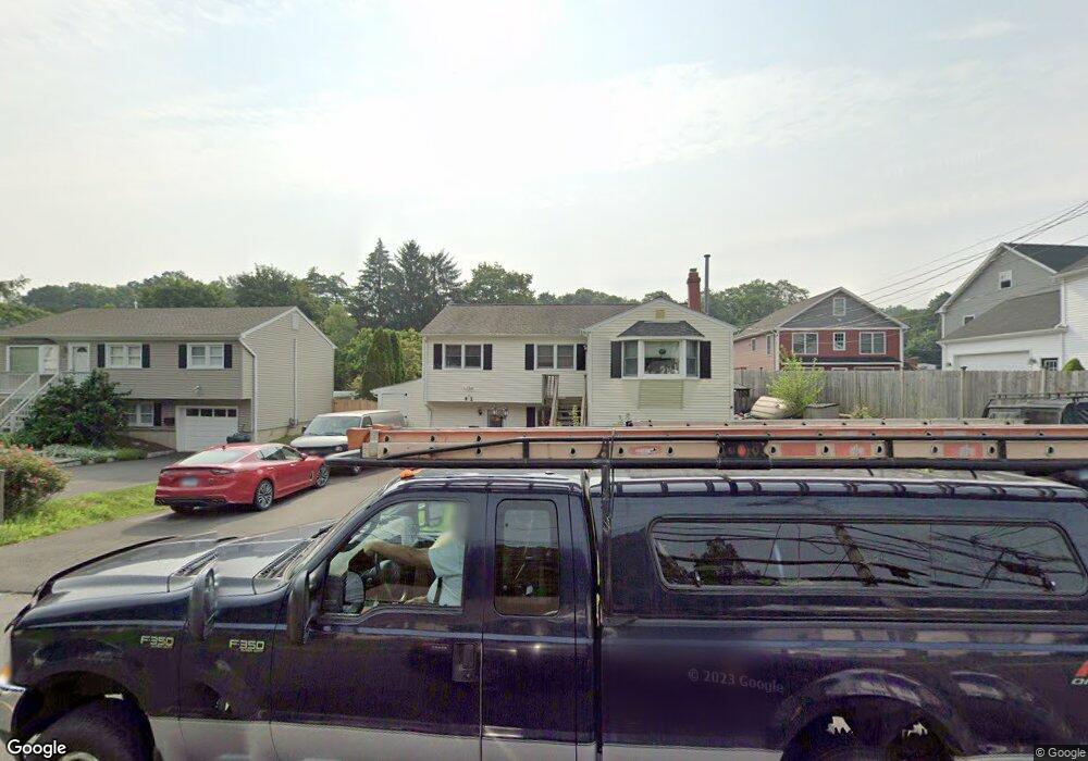
41 Maple Ave Bethel, CT 06801
Estimated Value: $533,000 - $629,516
5
Beds
3
Baths
2,482
Sq Ft
$241/Sq Ft
Est. Value
About This Home
This home is located at 41 Maple Ave, Bethel, CT 06801 and is currently estimated at $598,629, approximately $241 per square foot. 41 Maple Ave is a home located in Fairfield County with nearby schools including R.M.T. Johnson School, Bethel Middle School, and Bethel High School.
Ownership History
Date
Name
Owned For
Owner Type
Purchase Details
Closed on
May 25, 2017
Sold by
Wells Raymond Est
Bought by
Michael Justin
Current Estimated Value
Home Financials for this Owner
Home Financials are based on the most recent Mortgage that was taken out on this home.
Original Mortgage
$242,250
Outstanding Balance
$201,350
Interest Rate
4.08%
Mortgage Type
New Conventional
Estimated Equity
$397,279
Purchase Details
Closed on
Oct 3, 1972
Bought by
Esposito Salvatore F and Esposito Nancy J
Create a Home Valuation Report for This Property
The Home Valuation Report is an in-depth analysis detailing your home's value as well as a comparison with similar homes in the area
Home Values in the Area
Average Home Value in this Area
Purchase History
| Date | Buyer | Sale Price | Title Company |
|---|---|---|---|
| Michael Justin | $255,000 | -- | |
| Michael Justin | $255,000 | -- | |
| Esposito Salvatore F | -- | -- |
Source: Public Records
Mortgage History
| Date | Status | Borrower | Loan Amount |
|---|---|---|---|
| Open | Michael Justin | $242,250 | |
| Closed | Michael Justin | $242,250 | |
| Previous Owner | Esposito Salvatore F | $225,772 | |
| Previous Owner | Esposito Salvatore F | $110,000 |
Source: Public Records
Tax History
| Year | Tax Paid | Tax Assessment Tax Assessment Total Assessment is a certain percentage of the fair market value that is determined by local assessors to be the total taxable value of land and additions on the property. | Land | Improvement |
|---|---|---|---|---|
| 2025 | $9,347 | $307,370 | $77,700 | $229,670 |
| 2024 | $8,966 | $307,370 | $77,700 | $229,670 |
| 2023 | $8,719 | $306,670 | $77,700 | $228,970 |
| 2022 | $7,261 | $209,930 | $77,700 | $132,230 |
| 2021 | $7,192 | $209,930 | $77,700 | $132,230 |
| 2020 | $7,083 | $209,930 | $77,700 | $132,230 |
| 2019 | $7,014 | $209,930 | $77,700 | $132,230 |
| 2018 | $6,900 | $209,930 | $77,700 | $132,230 |
| 2017 | $6,231 | $189,500 | $63,990 | $125,510 |
| 2016 | $6,096 | $189,500 | $63,990 | $125,510 |
| 2015 | $6,098 | $189,500 | $63,990 | $125,510 |
| 2014 | $6,085 | $189,500 | $63,990 | $125,510 |
Source: Public Records
Map
Nearby Homes
- 21 Cindy Ln
- 14 Idlewood Unit 14
- 32 Deer Run
- 30 Highland Ave
- 84 Hoyts Hill
- 32 Hunting Ridge Ln Unit 32
- 2 Judd Ave
- 48 & 50 Nashville Rd
- 12 Briar Ridge Dr Unit 12
- 121 Great Hill Dr Unit 121
- 3 Bailey Blvd Unit 3
- 4 Bailey Blvd Unit 4
- 175 South St
- 18 Goodhill Rd
- 8 South St Unit 9
- 3 Whitlock Ave
- 10 South St Unit 36
- 62 Linda Ln
- 10 Sampson Terrace
- 72 Tucker St
- 43 Maple Ave
- 37-39 Maple Ave
- 37 Maple Ave
- 37 Maple Ave Unit 1&2
- 45 Maple Ave
- 33 Maple Ave Unit B
- 33 Maple Ave
- 6 Cindy Ln
- 49 Maple Ave
- 33 Maple Ave Unit B
- 33 Maple Ave Unit A
- 33 Maple Ave
- 31 Maple Ave
- 39 Maple Ave
- 12 Cindy Ln
- 44 Maple Ave
- 4 Cindy Ln Unit 4-2
- 4 Cindy Ln Unit 4-1
- 46 Maple Ave
- 42 Maple Ave
Your Personal Tour Guide
Ask me questions while you tour the home.