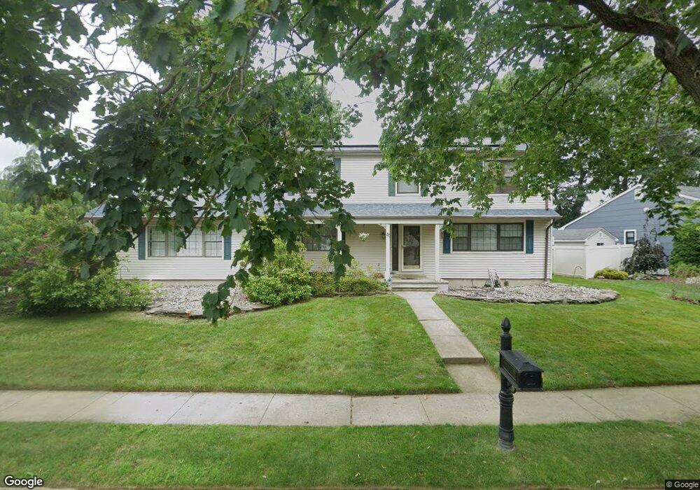
41 Mayberry Ave Monroe Township, NJ 08831
Estimated Value: $762,000 - $800,884
4
Beds
4
Baths
2,169
Sq Ft
$361/Sq Ft
Est. Value
About This Home
This home is located at 41 Mayberry Ave, Monroe Township, NJ 08831 and is currently estimated at $782,221, approximately $360 per square foot. 41 Mayberry Ave is a home located in Middlesex County with nearby schools including Mill Lake Elementary School, Woodland Elementary School, and Monroe Township Middle School.
Ownership History
Date
Name
Owned For
Owner Type
Purchase Details
Closed on
Nov 15, 2017
Sold by
Dellasala John P and Dellasala Nane E
Bought by
Macneill Robert Duncan Picard and Haenssen Keneshia Kellian
Current Estimated Value
Home Financials for this Owner
Home Financials are based on the most recent Mortgage that was taken out on this home.
Original Mortgage
$418,000
Outstanding Balance
$351,094
Interest Rate
3.94%
Mortgage Type
New Conventional
Estimated Equity
$431,127
Purchase Details
Closed on
Sep 20, 2002
Purchase Details
Closed on
May 22, 1998
Sold by
Gaydos Theodore
Bought by
Dellasala John and Bongiovi Nanette
Home Financials for this Owner
Home Financials are based on the most recent Mortgage that was taken out on this home.
Original Mortgage
$147,000
Interest Rate
7.09%
Create a Home Valuation Report for This Property
The Home Valuation Report is an in-depth analysis detailing your home's value as well as a comparison with similar homes in the area
Home Values in the Area
Average Home Value in this Area
Purchase History
| Date | Buyer | Sale Price | Title Company |
|---|---|---|---|
| Macneill Robert Duncan Picard | $440,000 | Nrt Title Agency Llc | |
| -- | -- | -- | |
| Dellasala John | $227,000 | -- |
Source: Public Records
Mortgage History
| Date | Status | Borrower | Loan Amount |
|---|---|---|---|
| Open | Macneill Robert Duncan Picard | $418,000 | |
| Previous Owner | Dellasala John | $147,000 |
Source: Public Records
Tax History Compared to Growth
Tax History
| Year | Tax Paid | Tax Assessment Tax Assessment Total Assessment is a certain percentage of the fair market value that is determined by local assessors to be the total taxable value of land and additions on the property. | Land | Improvement |
|---|---|---|---|---|
| 2025 | $10,656 | $381,800 | $172,700 | $209,100 |
| 2024 | $10,286 | $381,800 | $172,700 | $209,100 |
| 2023 | $10,286 | $381,800 | $172,700 | $209,100 |
| 2022 | $10,125 | $381,800 | $172,700 | $209,100 |
| 2021 | $7,548 | $381,800 | $172,700 | $209,100 |
| 2020 | $10,072 | $381,800 | $172,700 | $209,100 |
| 2019 | $9,854 | $381,800 | $172,700 | $209,100 |
| 2018 | $9,778 | $381,800 | $172,700 | $209,100 |
| 2017 | $9,587 | $381,800 | $172,700 | $209,100 |
| 2016 | $9,446 | $381,800 | $172,700 | $209,100 |
| 2015 | $9,178 | $381,800 | $172,700 | $209,100 |
| 2014 | $8,804 | $381,800 | $172,700 | $209,100 |
Source: Public Records
Map
Nearby Homes
- 13 Ellingham Ave
- 12 Ellingham Ave
- 411 Manalapan Rd
- 21 Rieder Rd
- 303 Woods End Ct Unit 88-303
- 41 New St
- 20 Daniel Rd
- 275 Pine View Way Unit 88-275
- 306 Pine View Way Unit 88-306
- 16 Sheryl Ct Unit 88-016
- 22 Herman Dr
- 45 Drew Place
- 24 Harrigan Ave
- 32 Avenue F
- 0-0 Sommerdale St
- 24 Pennington Ave
- 139 Village Dr W
- 294 Devoe Ave
- 18 N Rhoda St
- 106 Manalapan Rd