41 Mckenzie Way Arundel, ME 04046
Estimated Value: $767,577 - $913,000
3
Beds
3
Baths
4,128
Sq Ft
$201/Sq Ft
Est. Value
About This Home
This home is located at 41 Mckenzie Way, Arundel, ME 04046 and is currently estimated at $828,192, approximately $200 per square foot. 41 Mckenzie Way is a home located in York County with nearby schools including Kennebunk High School.
Ownership History
Date
Name
Owned For
Owner Type
Purchase Details
Closed on
Aug 5, 2011
Sold by
Caron Janet L and Caron Robert L
Bought by
Morse Steve Carpentry Inc
Current Estimated Value
Purchase Details
Closed on
May 3, 2011
Sold by
Caron Janet L and Caron Robert L
Bought by
Caron Janet L and Caron Robert L
Purchase Details
Closed on
Jul 26, 2010
Sold by
Opielowski Marek M and Wysocka Barbara
Bought by
Caron Janet L and Caron Robert L
Create a Home Valuation Report for This Property
The Home Valuation Report is an in-depth analysis detailing your home's value as well as a comparison with similar homes in the area
Home Values in the Area
Average Home Value in this Area
Purchase History
| Date | Buyer | Sale Price | Title Company |
|---|---|---|---|
| Morse Steve Carpentry Inc | -- | -- | |
| Caron Janet L | -- | -- | |
| Caron Janet L | -- | -- | |
| Caron Janet L | -- | -- |
Source: Public Records
Mortgage History
| Date | Status | Borrower | Loan Amount |
|---|---|---|---|
| Previous Owner | Caron Janet L | $288,000 |
Source: Public Records
Tax History Compared to Growth
Tax History
| Year | Tax Paid | Tax Assessment Tax Assessment Total Assessment is a certain percentage of the fair market value that is determined by local assessors to be the total taxable value of land and additions on the property. | Land | Improvement |
|---|---|---|---|---|
| 2024 | $7,781 | $457,700 | $63,000 | $394,700 |
| 2023 | $7,781 | $457,700 | $63,000 | $394,700 |
| 2022 | $7,735 | $457,700 | $63,000 | $394,700 |
| 2021 | $7,735 | $457,700 | $63,000 | $394,700 |
| 2020 | $7,657 | $457,700 | $63,000 | $394,700 |
| 2019 | $2,410 | $457,700 | $63,000 | $394,700 |
| 2018 | $2,352 | $457,700 | $63,000 | $394,700 |
| 2017 | $7,094 | $457,700 | $63,000 | $394,700 |
| 2016 | $5,448 | $457,700 | $63,000 | $394,700 |
| 2015 | $6,843 | $457,700 | $63,000 | $394,700 |
| 2014 | $6,637 | $457,700 | $63,000 | $394,700 |
| 2013 | $6,637 | $457,700 | $63,000 | $394,700 |
Source: Public Records
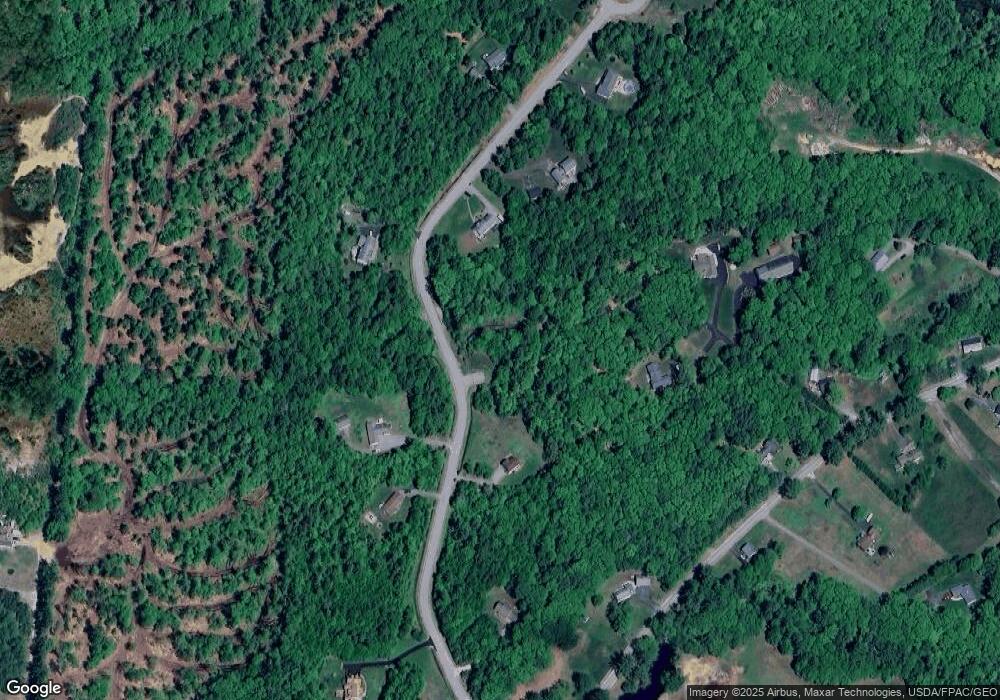
Map
Nearby Homes
- 1290 Alfred Rd
- 11 Trout Brook Rd
- 14 Mckenzie Way
- 36 Mckenzie Way
- 10 Acres Trout Brook
- 1306 Alfred Rd
- 1268 Alfred Rd
- 1266 Alfred Rd
- 355 Thompson Rd
- 40 Mckenzie Way
- 1305 Alfred Rd
- 0 McKenzie Way Lot #4 Unit 964750
- 42 Mckenzie Way
- 1309 Alfred Rd
- 342 Alfred Unit 3
- 0 Alfred Square
- 298 Alfred
- 0 Alfred
- 35 Trout Brook Rd
- Lot 5 Mckenzie Way