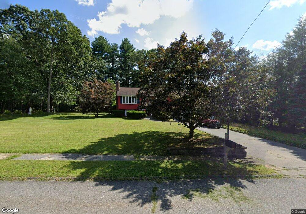
41 Meade Rd Billerica, MA 01821
Pinehurst NeighborhoodEstimated Value: $648,000 - $687,000
3
Beds
2
Baths
1,548
Sq Ft
$430/Sq Ft
Est. Value
About This Home
This home is located at 41 Meade Rd, Billerica, MA 01821 and is currently estimated at $665,998, approximately $430 per square foot. 41 Meade Rd is a home located in Middlesex County with nearby schools including Billerica Memorial High School and Burlington Montessori School.
Ownership History
Date
Name
Owned For
Owner Type
Purchase Details
Closed on
Jun 14, 2022
Sold by
Miner Ft and Miner
Bought by
Miner John R and Miner James A
Current Estimated Value
Purchase Details
Closed on
Dec 5, 2016
Sold by
Miner William J
Bought by
Miner Ft and Miner
Purchase Details
Closed on
Feb 6, 1963
Bought by
Miner William J and Miner Annette M
Create a Home Valuation Report for This Property
The Home Valuation Report is an in-depth analysis detailing your home's value as well as a comparison with similar homes in the area
Home Values in the Area
Average Home Value in this Area
Purchase History
| Date | Buyer | Sale Price | Title Company |
|---|---|---|---|
| Miner John R | -- | None Available | |
| Miner Ft | -- | -- | |
| Miner William J | -- | -- |
Source: Public Records
Mortgage History
| Date | Status | Borrower | Loan Amount |
|---|---|---|---|
| Previous Owner | Miner William J | $90,000 |
Source: Public Records
Tax History Compared to Growth
Tax History
| Year | Tax Paid | Tax Assessment Tax Assessment Total Assessment is a certain percentage of the fair market value that is determined by local assessors to be the total taxable value of land and additions on the property. | Land | Improvement |
|---|---|---|---|---|
| 2025 | $6,803 | $598,300 | $345,900 | $252,400 |
| 2024 | $6,257 | $554,200 | $334,900 | $219,300 |
| 2023 | $6,121 | $515,700 | $304,800 | $210,900 |
| 2022 | $5,620 | $444,600 | $260,500 | $184,100 |
| 2021 | $5,294 | $407,200 | $228,700 | $178,500 |
| 2020 | $5,161 | $397,300 | $219,800 | $177,500 |
| 2019 | $5,167 | $383,300 | $219,800 | $163,500 |
| 2018 | $4,866 | $342,900 | $195,400 | $147,500 |
| 2017 | $4,609 | $327,100 | $193,300 | $133,800 |
| 2016 | $4,562 | $322,600 | $188,800 | $133,800 |
| 2015 | $4,449 | $316,900 | $183,100 | $133,800 |
| 2014 | $4,497 | $314,700 | $177,400 | $137,300 |
Source: Public Records
Map
Nearby Homes
- 10 Scroxton Dr
- 11 Autumn St
- 7 Allendale Ave
- 30 Wyman Rd
- 46 Riverbank Terrace
- 3 Cardington Ave
- 300 Albion Rd Unit 306
- 17 Ravine Rd
- 17 Ben Place
- 17 Glenvale Ave
- 88 Lexington Rd
- 86 Lexington Rd
- 10 Pearl Rd
- 10 Wentworth Dr
- 11 Bicknell Rd
- 0 Bedford St
- 32 Marshall St
- 9 Wing Terrace
- 14 Saint Marys Rd
- 94 Pinedale Ave