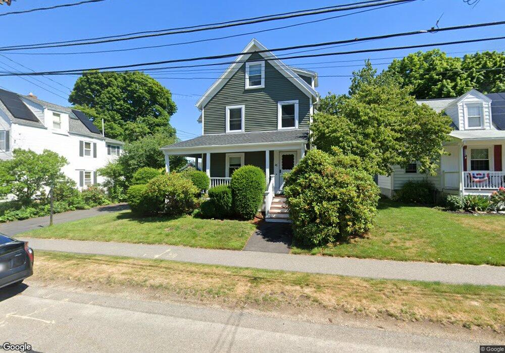
41 Mellen St Needham Heights, MA 02494
Estimated Value: $967,000 - $1,346,000
3
Beds
1
Bath
1,772
Sq Ft
$653/Sq Ft
Est. Value
About This Home
This home is located at 41 Mellen St, Needham Heights, MA 02494 and is currently estimated at $1,157,584, approximately $653 per square foot. 41 Mellen St is a home located in Norfolk County with nearby schools including Sunita L. Williams Elementary School, High Rock Middle School, and Pollard Middle School.
Ownership History
Date
Name
Owned For
Owner Type
Purchase Details
Closed on
Nov 22, 2002
Sold by
Thyne Gwendolyn J
Bought by
Finnegan Sean and Finnegan Noreen
Current Estimated Value
Home Financials for this Owner
Home Financials are based on the most recent Mortgage that was taken out on this home.
Original Mortgage
$300,000
Outstanding Balance
$126,119
Interest Rate
6.07%
Mortgage Type
Purchase Money Mortgage
Estimated Equity
$1,031,465
Create a Home Valuation Report for This Property
The Home Valuation Report is an in-depth analysis detailing your home's value as well as a comparison with similar homes in the area
Home Values in the Area
Average Home Value in this Area
Purchase History
| Date | Buyer | Sale Price | Title Company |
|---|---|---|---|
| Finnegan Sean | $420,000 | -- |
Source: Public Records
Mortgage History
| Date | Status | Borrower | Loan Amount |
|---|---|---|---|
| Open | Finnegan Sean | $300,000 |
Source: Public Records
Tax History Compared to Growth
Tax History
| Year | Tax Paid | Tax Assessment Tax Assessment Total Assessment is a certain percentage of the fair market value that is determined by local assessors to be the total taxable value of land and additions on the property. | Land | Improvement |
|---|---|---|---|---|
| 2025 | $11,175 | $1,054,200 | $774,300 | $279,900 |
| 2024 | $8,803 | $703,100 | $470,300 | $232,800 |
| 2023 | $8,955 | $686,700 | $470,300 | $216,400 |
| 2022 | $8,380 | $626,800 | $412,700 | $214,100 |
| 2021 | $8,167 | $626,800 | $412,700 | $214,100 |
| 2020 | $7,205 | $576,900 | $412,700 | $164,200 |
| 2019 | $6,658 | $537,400 | $375,300 | $162,100 |
| 2018 | $6,384 | $537,400 | $375,300 | $162,100 |
| 2017 | $6,171 | $519,000 | $375,300 | $143,700 |
| 2016 | $6,011 | $520,900 | $375,300 | $145,600 |
| 2015 | $5,881 | $520,900 | $375,300 | $145,600 |
| 2014 | $5,609 | $481,900 | $341,300 | $140,600 |
Source: Public Records
Map
Nearby Homes
- 39 Mark Lee Rd
- 445 Hillside Ave
- 3 Crescent Rd
- 100 Rosemary Way Unit 129
- 100 Rosemary Way Unit 324
- 400 Hunnewell St Unit 103
- 556 Webster St
- 379 Hunnewell St Unit 379
- 7 Avery St
- 36 Davenport Rd
- 34 Pershing Rd
- 35 Andrea Cir
- 9 Jayne Rd
- 143 Hunting Rd
- 190 Brookline St
- 62 Evelyn Rd
- 12 Hill St
- 40 Otis St Unit L
- 23 Cheney St
- 42 Otis St Unit R