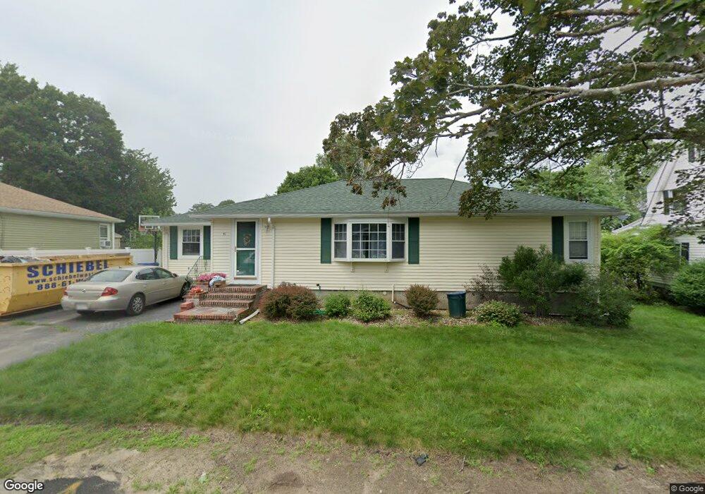
41 Milk Ave Methuen, MA 01844
The East End NeighborhoodEstimated Value: $520,000 - $552,316
3
Beds
2
Baths
1,331
Sq Ft
$403/Sq Ft
Est. Value
About This Home
This home is located at 41 Milk Ave, Methuen, MA 01844 and is currently estimated at $536,329, approximately $402 per square foot. 41 Milk Ave is a home located in Essex County with nearby schools including Timony Grammar School, South Point Elementary School, and Methuen High School.
Ownership History
Date
Name
Owned For
Owner Type
Purchase Details
Closed on
May 5, 2017
Sold by
Lawrence E Barnes 3Rd and Barnes
Bought by
Campbell Meredith and Barnes Michael L
Current Estimated Value
Home Financials for this Owner
Home Financials are based on the most recent Mortgage that was taken out on this home.
Original Mortgage
$200,000
Outstanding Balance
$153,665
Interest Rate
4.23%
Mortgage Type
New Conventional
Estimated Equity
$382,664
Purchase Details
Closed on
Nov 6, 2014
Sold by
Barnes 3Rd Lawrence E
Bought by
Lawrence E Barnes 3Rd and Barnes
Purchase Details
Closed on
Jul 13, 1989
Sold by
Colli A Delli
Bought by
Barnes Lawrence
Create a Home Valuation Report for This Property
The Home Valuation Report is an in-depth analysis detailing your home's value as well as a comparison with similar homes in the area
Home Values in the Area
Average Home Value in this Area
Purchase History
| Date | Buyer | Sale Price | Title Company |
|---|---|---|---|
| Campbell Meredith | $290,000 | -- | |
| Campbell Meredith | $290,000 | -- | |
| Campbell Meredith | $290,000 | -- | |
| Lawrence E Barnes 3Rd | -- | -- | |
| Lawrence E Barnes 3Rd | -- | -- | |
| Barnes Lawrence | $140,000 | -- | |
| Barnes Lawrence | $140,000 | -- |
Source: Public Records
Mortgage History
| Date | Status | Borrower | Loan Amount |
|---|---|---|---|
| Open | Campbell Meredith | $200,000 | |
| Closed | Campbell Meredith | $200,000 | |
| Previous Owner | Barnes Lawrence | $150,000 |
Source: Public Records
Tax History Compared to Growth
Tax History
| Year | Tax Paid | Tax Assessment Tax Assessment Total Assessment is a certain percentage of the fair market value that is determined by local assessors to be the total taxable value of land and additions on the property. | Land | Improvement |
|---|---|---|---|---|
| 2025 | $4,857 | $459,100 | $201,100 | $258,000 |
| 2024 | $4,795 | $441,500 | $183,500 | $258,000 |
| 2023 | $4,534 | $387,500 | $163,100 | $224,400 |
| 2022 | $4,266 | $326,900 | $129,100 | $197,800 |
| 2021 | $3,994 | $302,800 | $122,300 | $180,500 |
| 2020 | $3,981 | $296,200 | $122,300 | $173,900 |
| 2019 | $3,777 | $266,200 | $115,500 | $150,700 |
| 2018 | $3,589 | $251,500 | $108,700 | $142,800 |
| 2017 | $3,471 | $236,900 | $108,700 | $128,200 |
| 2016 | $3,208 | $216,600 | $95,100 | $121,500 |
Source: Public Records
Map
Nearby Homes
- 63 Lippold St
- 4 Alderbrook Ln
- 24 Court St
- 15 Swan Ave
- 5 Harmony Ln
- 37 Albion St
- 3 Woekel Terrace
- 24 Boylston St
- 35 Swan Ave
- 43 Duston Dr
- 9 Boylston St
- 6 Longwood Dr
- 20 Knox St Unit 43
- 20 Knox St Unit 23
- 7 Magnolia Rd
- 29 Meadowbrook Rd
- 35 Kendall St
- 167 Ferry 53 Mann St Unit 2,5,6
- 68 Wesley St
- 183 Berkeley St