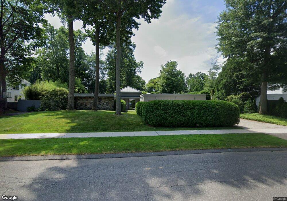
41 Mohawk Dr West Hartford, CT 06117
Estimated Value: $688,000 - $1,045,849
3
Beds
3
Baths
3,218
Sq Ft
$280/Sq Ft
Est. Value
About This Home
This home is located at 41 Mohawk Dr, West Hartford, CT 06117 and is currently estimated at $900,712, approximately $279 per square foot. 41 Mohawk Dr is a home located in Hartford County with nearby schools including Aiken School, King Philip Middle School, and Hall High School.
Ownership History
Date
Name
Owned For
Owner Type
Purchase Details
Closed on
Apr 26, 2006
Sold by
Schaffer William A
Bought by
Chozick Stephanie A
Current Estimated Value
Purchase Details
Closed on
Aug 3, 2004
Sold by
Arends Richard I
Bought by
Schaffer William A
Purchase Details
Closed on
Mar 21, 1997
Sold by
Hawkins John C and Arends Dorothy S
Bought by
Arends Richard I
Purchase Details
Closed on
Oct 30, 1991
Sold by
Rabinowitz Ruth
Bought by
Hawkins John and Hawkins Dorothy
Create a Home Valuation Report for This Property
The Home Valuation Report is an in-depth analysis detailing your home's value as well as a comparison with similar homes in the area
Home Values in the Area
Average Home Value in this Area
Purchase History
| Date | Buyer | Sale Price | Title Company |
|---|---|---|---|
| Chozick Stephanie A | $560,000 | -- | |
| Schaffer William A | $415,000 | -- | |
| Arends Richard I | $150,000 | -- | |
| Hawkins John | $268,000 | -- |
Source: Public Records
Mortgage History
| Date | Status | Borrower | Loan Amount |
|---|---|---|---|
| Open | Hawkins John | $395,000 | |
| Closed | Hawkins John | $150,000 |
Source: Public Records
Tax History Compared to Growth
Tax History
| Year | Tax Paid | Tax Assessment Tax Assessment Total Assessment is a certain percentage of the fair market value that is determined by local assessors to be the total taxable value of land and additions on the property. | Land | Improvement |
|---|---|---|---|---|
| 2025 | $19,804 | $442,260 | $159,180 | $283,080 |
| 2024 | $18,730 | $442,260 | $159,180 | $283,080 |
| 2023 | $18,097 | $442,260 | $159,180 | $283,080 |
| 2022 | $17,991 | $442,260 | $159,180 | $283,080 |
| 2021 | $15,432 | $363,790 | $148,470 | $215,320 |
| 2020 | $15,774 | $377,370 | $155,470 | $221,900 |
| 2019 | $15,774 | $377,370 | $155,470 | $221,900 |
| 2018 | $15,472 | $377,370 | $155,470 | $221,900 |
| 2017 | $15,648 | $381,290 | $155,470 | $225,820 |
| 2016 | $13,873 | $351,120 | $169,750 | $181,370 |
| 2015 | $13,451 | $351,120 | $169,750 | $181,370 |
| 2014 | $13,121 | $351,120 | $169,750 | $181,370 |
Source: Public Records
Map
Nearby Homes
- 6 Lyman Rd
- 138 Mohegan Dr
- 139 Mohawk Dr
- 68 Lyman Rd
- 320 N Steele Rd
- 9 Carlyle Rd
- 206 Mohegan Dr
- 11 Lawler Rd
- 1 King Philip Dr Unit 207
- 111 Bloomfield Ave
- 165 Bloomfield Ave
- 5 Northmoor Rd
- 8 Tanglewood Rd
- 51 Sky View Dr Unit 4
- 3 Trumbull Ln
- 35 W Ridge Dr
- 243 Terry Rd
- 53 Whitehill Dr
- 11 Westbrook Rd
- 30 Farmstead Ln