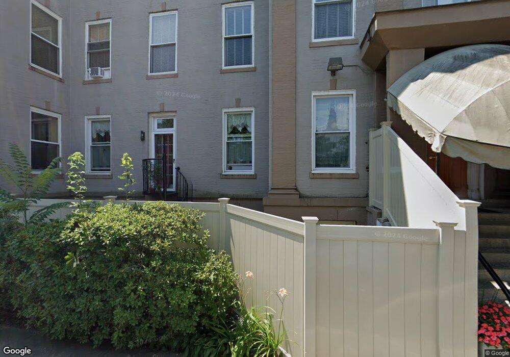
41 Morton St Unit 27 Jamaica Plain, MA 02130
Jamaica Plain NeighborhoodEstimated Value: $635,000 - $688,000
2
Beds
2
Baths
1,100
Sq Ft
$605/Sq Ft
Est. Value
About This Home
This home is located at 41 Morton St Unit 27, Jamaica Plain, MA 02130 and is currently estimated at $665,636, approximately $605 per square foot. 41 Morton St Unit 27 is a home located in Suffolk County with nearby schools including The Croft School - Jamaica Plain, Neighborhood School, and Meridian Academy.
Ownership History
Date
Name
Owned For
Owner Type
Purchase Details
Closed on
Apr 19, 2002
Sold by
Dore Richard C
Bought by
Spitzer James W and Pepper David C
Current Estimated Value
Home Financials for this Owner
Home Financials are based on the most recent Mortgage that was taken out on this home.
Original Mortgage
$225,600
Interest Rate
6.85%
Mortgage Type
Purchase Money Mortgage
Purchase Details
Closed on
Feb 25, 2000
Sold by
Thompson William A and Thompson Crystal C
Bought by
Dore Richard C
Purchase Details
Closed on
Jul 2, 1992
Sold by
Century B & T Co
Bought by
Thompson William A and Christmas Crystal M
Purchase Details
Closed on
Nov 25, 1991
Sold by
Washingtonian Rt
Bought by
Century B & T Co
Create a Home Valuation Report for This Property
The Home Valuation Report is an in-depth analysis detailing your home's value as well as a comparison with similar homes in the area
Home Values in the Area
Average Home Value in this Area
Purchase History
| Date | Buyer | Sale Price | Title Company |
|---|---|---|---|
| Spitzer James W | $282,000 | -- | |
| Dore Richard C | $211,000 | -- | |
| Thompson William A | $117,500 | -- | |
| Thompson William A | $117,500 | -- | |
| Century B & T Co | $84,666 | -- |
Source: Public Records
Mortgage History
| Date | Status | Borrower | Loan Amount |
|---|---|---|---|
| Closed | Century B & T Co | $160,000 | |
| Closed | Century B & T Co | $225,600 | |
| Closed | Century B & T Co | $225,600 |
Source: Public Records
Tax History Compared to Growth
Tax History
| Year | Tax Paid | Tax Assessment Tax Assessment Total Assessment is a certain percentage of the fair market value that is determined by local assessors to be the total taxable value of land and additions on the property. | Land | Improvement |
|---|---|---|---|---|
| 2025 | $6,280 | $542,300 | $0 | $542,300 |
| 2024 | $6,468 | $593,400 | $0 | $593,400 |
| 2023 | $6,067 | $564,900 | $0 | $564,900 |
| 2022 | $5,799 | $533,000 | $0 | $533,000 |
| 2021 | $5,416 | $507,600 | $0 | $507,600 |
| 2020 | $4,826 | $457,000 | $0 | $457,000 |
| 2019 | $4,629 | $439,200 | $0 | $439,200 |
| 2018 | $4,469 | $426,400 | $0 | $426,400 |
| 2017 | $544 | $402,300 | $0 | $402,300 |
| 2016 | $4,136 | $376,000 | $0 | $376,000 |
| 2015 | $3,985 | $329,100 | $0 | $329,100 |
| 2014 | $3,904 | $310,300 | $0 | $310,300 |
Source: Public Records
Map
Nearby Homes
- 26 Tower St
- 1 Catenaccia Way Unit 47
- 58 Weld Hill St Unit 2
- 11 Weld Hill St Unit 2
- 64 Hyde Park Ave Unit 3
- 41 Brookley Rd Unit 2
- 156A South St Unit 1L
- 36 Hall St Unit 1
- 5 Hampstead Ln Unit 1
- 3531 Washington St Unit 316
- 3531 Washington St Unit 411
- 3531 Washington St Unit 419
- 3531 Washington St Unit 507
- 3531 Washington St Unit 206
- 10 Plainfield St Unit 1
- 10 Plainfield St Unit 2
- 9-11 Boynton St Unit 2
- 5 View South Ave Unit 1
- 69 Williams St Unit 202
- 16 Mcbride St Unit 1
- 29 Morton St Unit B
- 31 Morton St Unit B
- 41 Morton St Unit 14
- 29 Morton St Unit 31
- 29 Morton St Unit 31
- 29 Morton St Unit 31
- 29 Morton St Unit 31
- 29 Morton St Unit 31
- 29 Morton St Unit 31
- 41 Morton St Unit 28
- 41 Morton St Unit 26
- 41 Morton St Unit 25
- 41 Morton St Unit 24
- 41 Morton St Unit 23
- 41 Morton St Unit 22
- 41 Morton St Unit 21
- 41 Morton St Unit 20
- 41 Morton St Unit 19
- 41 Morton St Unit 18
- 41 Morton St Unit 17