41 My Drive Way Brooksville, ME 04617
Estimated Value: $358,000 - $612,000
--
Bed
--
Bath
--
Sq Ft
19.5
Acres
About This Home
This home is located at 41 My Drive Way, Brooksville, ME 04617 and is currently estimated at $453,669. 41 My Drive Way is a home with nearby schools including Brooksville Elementary School.
Ownership History
Date
Name
Owned For
Owner Type
Purchase Details
Closed on
Feb 6, 2014
Sold by
Mesteller Jean H Est
Bought by
Rackliffe Pamela A and Smedal Susan J
Current Estimated Value
Create a Home Valuation Report for This Property
The Home Valuation Report is an in-depth analysis detailing your home's value as well as a comparison with similar homes in the area
Home Values in the Area
Average Home Value in this Area
Purchase History
| Date | Buyer | Sale Price | Title Company |
|---|---|---|---|
| Rackliffe Pamela A | -- | -- |
Source: Public Records
Tax History Compared to Growth
Tax History
| Year | Tax Paid | Tax Assessment Tax Assessment Total Assessment is a certain percentage of the fair market value that is determined by local assessors to be the total taxable value of land and additions on the property. | Land | Improvement |
|---|---|---|---|---|
| 2024 | $1,905 | $352,800 | $94,600 | $258,200 |
| 2023 | $1,768 | $272,000 | $72,800 | $199,200 |
| 2022 | $1,671 | $245,000 | $65,500 | $179,500 |
| 2021 | $1,642 | $245,000 | $65,500 | $179,500 |
| 2020 | $1,666 | $245,000 | $65,500 | $179,500 |
| 2019 | $1,359 | $237,600 | $65,500 | $172,100 |
| 2018 | $1,328 | $237,600 | $65,500 | $172,100 |
| 2017 | $1,328 | $237,600 | $65,500 | $172,100 |
| 2016 | $1,328 | $237,600 | $65,500 | $172,100 |
| 2015 | $1,328 | $237,600 | $65,500 | $172,100 |
| 2013 | $1,263 | $263,200 | $72,100 | $191,100 |
Source: Public Records
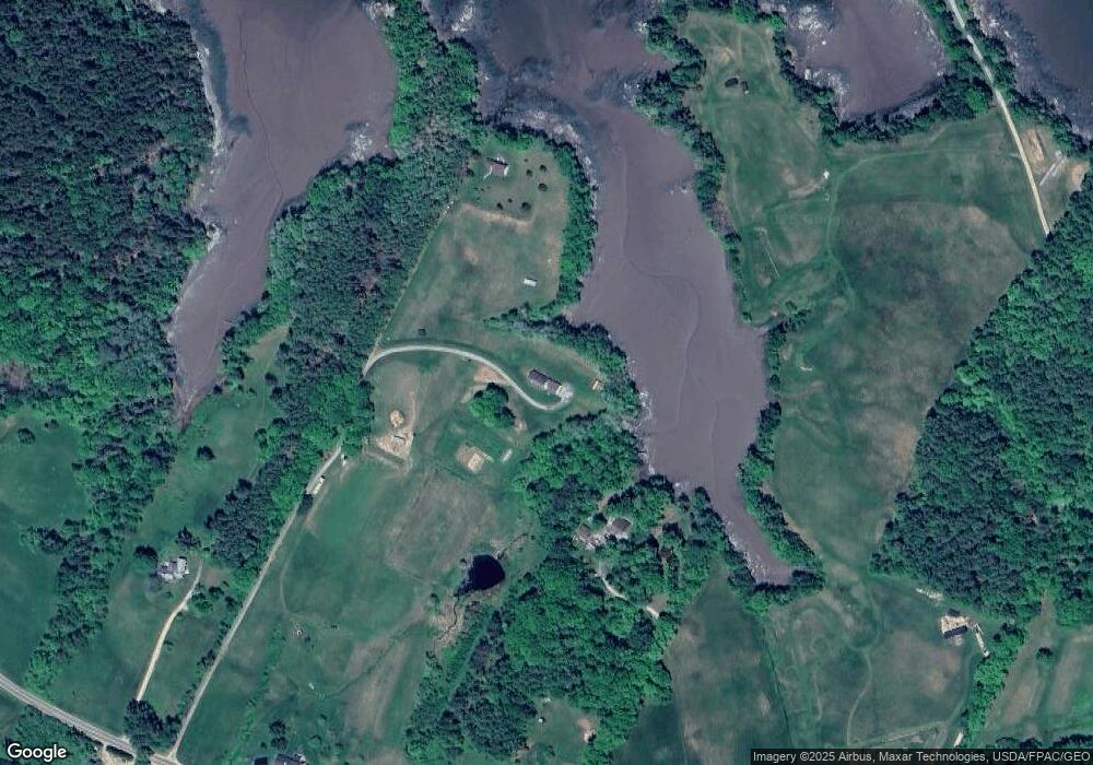
Map
Nearby Homes
- M15 L23 Varnum Rd
- Map4 Lot26 Graytown Rd
- 111 Franks Flat Rd
- 118 Wescott Battery
- 113 Wardwell Point Rd
- 00 Dunbar
- 0 Kingdom Rd
- 565 Bagaduce Rd
- 2 Camp Stream Point Ln
- 37 Water St
- 269 Wardwell Point Rd
- 10 Green St
- 581 the Shore Rd
- 1026 Castine Rd
- 182 Dunbar Rd
- 684 the Shore Rd
- M17 L15 Battle Ave
- M17 L15 Perkins St
- 1114 Castine Rd
- 79 Perkins St
- 37 Peasley Way
- 1860 Coastal Rd
- 1844 Coastal Rd
- 1886 Coastal Rd
- 1902 Coastal Rd
- 1902 Coastal Rd
- 1902 Coastal Rd
- 1891 Coastal Rd
- 1863 Coastal Rd
- 1915 Coastal Rd
- 1841 Coastal Rd
- 114 Dow Farm Rd
- 1814 Coastal Rd
- 1808 Coastal Rd
- 62 Tapley Cove Rd
- 33 Mills Point Rd
- 52 Seal Bay Rd
- 17 Ellen's Way
- 1968 Coastal Rd
- 1965 Coastal Rd