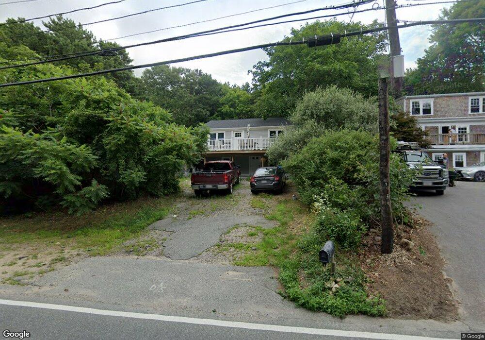
41 N Falmouth Hwy North Falmouth, MA 02556
North Falmouth NeighborhoodEstimated Value: $612,000 - $726,000
2
Beds
2
Baths
1,426
Sq Ft
$464/Sq Ft
Est. Value
About This Home
This home is located at 41 N Falmouth Hwy, North Falmouth, MA 02556 and is currently estimated at $661,141, approximately $463 per square foot. 41 N Falmouth Hwy is a home located in Barnstable County with nearby schools including North Falmouth Elementary School, Morse Pond School, and Lawrence School.
Ownership History
Date
Name
Owned For
Owner Type
Purchase Details
Closed on
Nov 23, 1992
Sold by
First Essex Sb Nh
Bought by
Parrish Branch J
Current Estimated Value
Home Financials for this Owner
Home Financials are based on the most recent Mortgage that was taken out on this home.
Original Mortgage
$36,000
Interest Rate
7.95%
Mortgage Type
Purchase Money Mortgage
Create a Home Valuation Report for This Property
The Home Valuation Report is an in-depth analysis detailing your home's value as well as a comparison with similar homes in the area
Home Values in the Area
Average Home Value in this Area
Purchase History
| Date | Buyer | Sale Price | Title Company |
|---|---|---|---|
| Parrish Branch J | $46,000 | -- |
Source: Public Records
Mortgage History
| Date | Status | Borrower | Loan Amount |
|---|---|---|---|
| Closed | Parrish Branch J | $36,000 |
Source: Public Records
Tax History Compared to Growth
Tax History
| Year | Tax Paid | Tax Assessment Tax Assessment Total Assessment is a certain percentage of the fair market value that is determined by local assessors to be the total taxable value of land and additions on the property. | Land | Improvement |
|---|---|---|---|---|
| 2025 | $3,274 | $557,800 | $250,600 | $307,200 |
| 2024 | $3,137 | $499,600 | $223,800 | $275,800 |
| 2023 | $2,864 | $413,900 | $179,000 | $234,900 |
| 2022 | $2,026 | $251,700 | $155,400 | $96,300 |
| 2021 | $1,989 | $234,000 | $148,700 | $85,300 |
| 2020 | $1,894 | $220,500 | $135,200 | $85,300 |
| 2019 | $1,844 | $215,400 | $135,200 | $80,200 |
| 2018 | $1,815 | $211,000 | $135,200 | $75,800 |
| 2017 | $1,781 | $208,800 | $135,200 | $73,600 |
| 2016 | $1,748 | $208,800 | $135,200 | $73,600 |
| 2015 | $1,710 | $208,800 | $135,200 | $73,600 |
| 2014 | $1,755 | $215,300 | $139,400 | $75,900 |
Source: Public Records
Map
Nearby Homes
- 104 Streeter Hill Rd
- 908 W Falmouth Hwy
- 121 Streeter Hill Rd
- 121 Streeter Hill Rd
- 104 Streeter Hill Rd
- 850 W Falmouth Hwy Unit 11
- 213 N Falmouth Hwy Unit 5A
- 213 N Falmouth Hwy Unit 5B
- 213 N Falmouth Hwy Unit 5 A
- 77 Highwood Ln
- 234 Cairn Ridge Rd
- 7 Pilgrim Path
- 106 Ambleside Dr
- 267 N Falmouth Hwy
- 345 Quaker Rd
- 0 Quaker Rd Unit 22504204
- 0 Quaker Rd Unit 73423088
- 22 Acorn Dr
- 70 Westmoreland Dr
- 102 Nashawena St
- 45 N Falmouth Hwy
- 33 N Falmouth Hwy
- 53 N Falmouth Hwy
- 5 Burke Ln
- 27 N Falmouth Hwy
- 52 N Falmouth Hwy
- 40 N Falmouth Hwy
- 51 N Falmouth Hwy
- 51 N Falmouth Hwy Unit B
- 3 Burke Ln
- 0 Burke Ln
- 2 Burke Ln
- 0 Burke Ave Unit 70931317
- 47 N Falmouth Hwy
- 20 N Falmouth Hwy
- 48 N Falmouth Hwy
- 19 N Falmouth Hwy
- 213 N North Falmouth Hwy
- 8 Burke Ln
- 2 Burke Ave