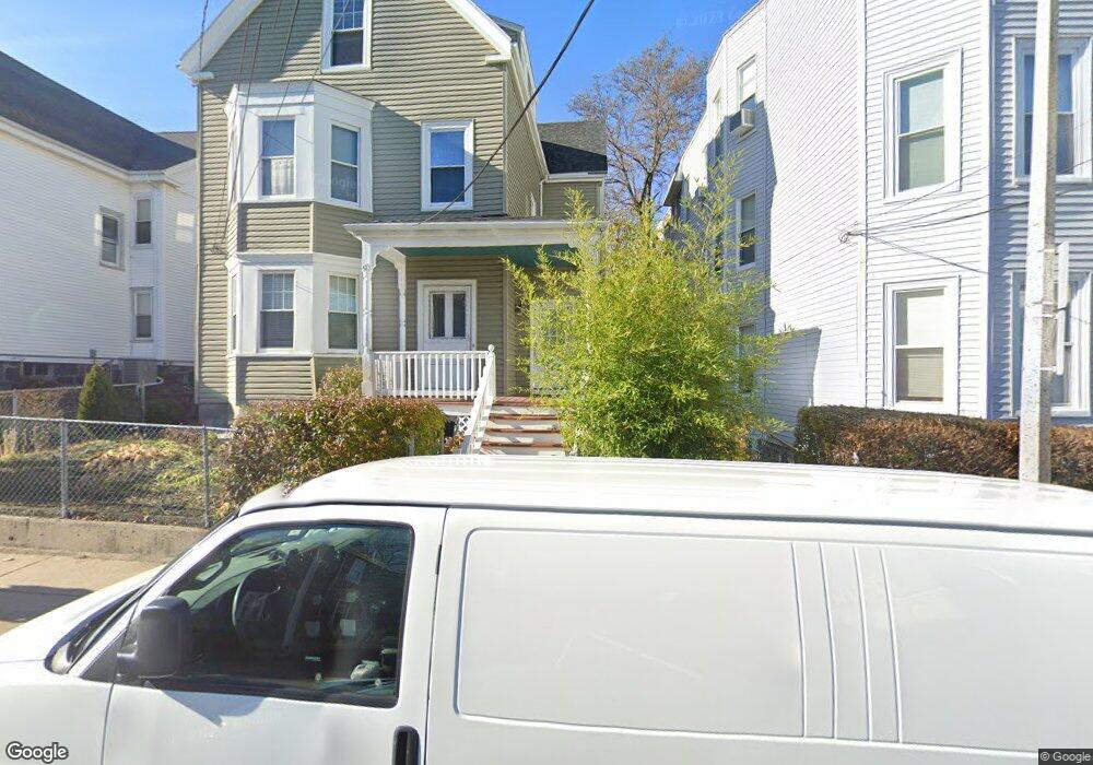
41 Newport St Unit 43 Dorchester, MA 02125
Savin Hill NeighborhoodEstimated Value: $838,000 - $1,137,466
4
Beds
2
Baths
3,124
Sq Ft
$322/Sq Ft
Est. Value
About This Home
This home is located at 41 Newport St Unit 43, Dorchester, MA 02125 and is currently estimated at $1,006,117, approximately $322 per square foot. 41 Newport St Unit 43 is a home located in Suffolk County with nearby schools including Boston Collegiate Charter School, Pope John Paul II Catholic Academy Columbia Campus, and Boston College High School.
Ownership History
Date
Name
Owned For
Owner Type
Purchase Details
Closed on
May 17, 2010
Sold by
Komejko Charles and Komejko Chester
Bought by
Nguyen Liem T
Current Estimated Value
Home Financials for this Owner
Home Financials are based on the most recent Mortgage that was taken out on this home.
Original Mortgage
$240,000
Outstanding Balance
$161,334
Interest Rate
5.11%
Mortgage Type
Purchase Money Mortgage
Estimated Equity
$844,783
Create a Home Valuation Report for This Property
The Home Valuation Report is an in-depth analysis detailing your home's value as well as a comparison with similar homes in the area
Home Values in the Area
Average Home Value in this Area
Purchase History
| Date | Buyer | Sale Price | Title Company |
|---|---|---|---|
| Nguyen Liem T | $300,000 | -- |
Source: Public Records
Mortgage History
| Date | Status | Borrower | Loan Amount |
|---|---|---|---|
| Open | Nguyen Liem T | $240,000 |
Source: Public Records
Tax History Compared to Growth
Tax History
| Year | Tax Paid | Tax Assessment Tax Assessment Total Assessment is a certain percentage of the fair market value that is determined by local assessors to be the total taxable value of land and additions on the property. | Land | Improvement |
|---|---|---|---|---|
| 2025 | $11,363 | $981,300 | $312,000 | $669,300 |
| 2024 | $10,476 | $961,100 | $262,600 | $698,500 |
| 2023 | $10,322 | $961,100 | $262,600 | $698,500 |
| 2022 | $9,506 | $873,700 | $238,700 | $635,000 |
| 2021 | $9,322 | $873,700 | $238,700 | $635,000 |
| 2020 | $7,976 | $755,300 | $259,700 | $495,600 |
| 2019 | $6,901 | $654,700 | $180,500 | $474,200 |
| 2018 | $6,125 | $584,400 | $180,500 | $403,900 |
| 2017 | $5,894 | $556,600 | $180,500 | $376,100 |
| 2016 | $5,566 | $506,000 | $180,500 | $325,500 |
| 2015 | $5,364 | $442,900 | $162,400 | $280,500 |
| 2014 | $4,850 | $385,500 | $162,400 | $223,100 |
Source: Public Records
Map
Nearby Homes
- 10 Grant St
- 950 Dorchester Ave Unit 304
- 944 Dorchester Ave Unit 9
- 944 Dorchester Ave Unit C56
- 17 Spring Garden St
- 5 Carson St
- 24 Moseley St
- 8 Spring Garden St Unit 3
- 27 Buttonwood St
- 24 Buttonwood St
- 74-76 Sudan St Unit 1
- 62 Romsey St Unit 2
- 37 Taft St
- 84 Romsey St Unit 3
- 50 Mount Vernon St Unit 3
- 25 Pleasant St
- 35 Mt Vernon St Unit 1
- 27 Willis St
- 42 Mayhew St
- 33 Pearl St Unit 3
- 45-47 Newport St
- 45 Newport St Unit 47
- 36 Raven St
- 36 Raven St Unit 2
- 36 Raven St Unit 1
- 36 Raven St
- 36 Raven St Unit 3
- 36 Raven St Unit PARKING 7
- 47 Newport St Unit 2
- 47 Newport St Unit 1
- 39 Newport St
- 39 Newport St Unit 2
- 39 Newport St Unit 3
- 35 Newport St
- 35 Newport St Unit D
- 35 Newport St Unit B
- 35 Newport St Unit A
- 35 Newport St Unit 2
- 35 Newport St Unit 1
- 35 Newport St Unit C