Estimated Value: $555,000 - $789,000
3
Beds
1
Bath
1,060
Sq Ft
$632/Sq Ft
Est. Value
About This Home
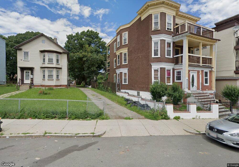
This home is located at 41 Olney St, Dorchester, MA 02121 and is currently estimated at $669,981, approximately $632 per square foot. 41 Olney St is a home located in Suffolk County with nearby schools including UP Academy Charter School of Dorchester, Uncommon Schools Roxbury Prep Dorchester Campus, and Mother Caroline Academy & Education Center.
Ownership History
Date
Name
Owned For
Owner Type
Purchase Details
Closed on
Feb 15, 2021
Sold by
Hock Lawrence W Sr Est and Hock
Bought by
Hock Giuseppe and Hock Anthony
Current Estimated Value
Purchase Details
Closed on
Sep 15, 2008
Sold by
Keating Dorothy C
Bought by
Hock Lawrence W
Home Financials for this Owner
Home Financials are based on the most recent Mortgage that was taken out on this home.
Original Mortgage
$140,000
Interest Rate
6.58%
Mortgage Type
Purchase Money Mortgage
Create a Home Valuation Report for This Property
The Home Valuation Report is an in-depth analysis detailing your home's value as well as a comparison with similar homes in the area
Home Values in the Area
Average Home Value in this Area
Purchase History
| Date | Buyer | Sale Price | Title Company |
|---|---|---|---|
| Hock Giuseppe | -- | None Available | |
| Hock Giuseppe | -- | None Available | |
| Hock Lawrence W | $175,000 | -- | |
| Hock Lawrence W | $175,000 | -- |
Source: Public Records
Mortgage History
| Date | Status | Borrower | Loan Amount |
|---|---|---|---|
| Previous Owner | Hock Lawrence W | $140,000 |
Source: Public Records
Tax History Compared to Growth
Tax History
| Year | Tax Paid | Tax Assessment Tax Assessment Total Assessment is a certain percentage of the fair market value that is determined by local assessors to be the total taxable value of land and additions on the property. | Land | Improvement |
|---|---|---|---|---|
| 2025 | $6,008 | $518,800 | $246,400 | $272,400 |
| 2024 | $5,453 | $500,300 | $262,000 | $238,300 |
| 2023 | $5,373 | $500,300 | $262,000 | $238,300 |
| 2022 | $5,042 | $463,400 | $242,700 | $220,700 |
| 2021 | $4,683 | $438,900 | $235,600 | $203,300 |
| 2020 | $4,035 | $382,100 | $221,200 | $160,900 |
| 2019 | $3,799 | $360,400 | $182,200 | $178,200 |
| 2018 | $3,530 | $336,800 | $182,200 | $154,600 |
| 2017 | $3,334 | $314,800 | $182,200 | $132,600 |
| 2016 | $3,463 | $314,800 | $182,200 | $132,600 |
| 2015 | $2,952 | $243,800 | $127,900 | $115,900 |
| 2014 | $2,935 | $233,300 | $127,900 | $105,400 |
Source: Public Records
Map
Nearby Homes
- 1 Rock Terrace Unit 1
- 1 Rock Terrace Unit 3
- 1 Dever St
- 139 Bowdoin St
- 51 Hamilton St Unit 3
- 70 Hamilton St
- 76 Bellevue St
- 70-72 Clarkson St
- 41 Holiday St
- 19 Mount Ida Rd
- 60 Stanley St Unit 301
- 60 Stanley St Unit 302
- 60 Stanley St
- 60 Stanley St Unit 101
- 52 Bellevue St Unit 1
- 52 Bellevue St Unit 3
- 52 Bellevue St Unit 2
- 35-37 Clarkson St
- 83 Topliff St
- 20 Rosseter St
- 41 Olney St Unit 1
- 4 Davidson Ave
- 2 Davidson Ave
- 17 Davidson St
- 49 Olney St
- 49 Olney St Unit 1
- 49 Olney St Unit First Floor Apartmen
- 45 Olney St
- 3 Davidson Ave
- 43 Olney St
- 1 Davidson Ave
- 7 Rock Terrace
- 53 Olney St
- 53 Olney St Unit 2
- 61 Richfield St
- 59 Richfield St
- 55 Olney St
- 5 Rock Terrace
- 63 Richfield St Unit 65
- 39 Olney St