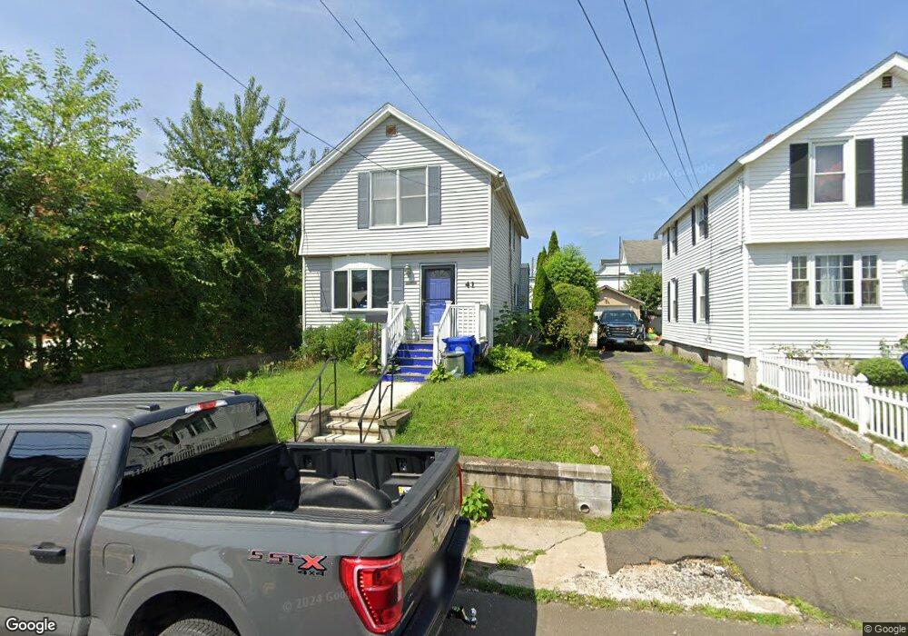
41 Osborne Ave Norwalk, CT 06855
East Norwalk NeighborhoodEstimated Value: $512,000 - $575,000
2
Beds
2
Baths
1,206
Sq Ft
$452/Sq Ft
Est. Value
About This Home
This home is located at 41 Osborne Ave, Norwalk, CT 06855 and is currently estimated at $544,888, approximately $451 per square foot. 41 Osborne Ave is a home located in Fairfield County with nearby schools including Marvin Elementary School, Nathan Hale Middle School, and Norwalk High School.
Ownership History
Date
Name
Owned For
Owner Type
Purchase Details
Closed on
Feb 28, 2011
Sold by
Sanderson Brenda L
Bought by
Sanderson Eldridge R
Current Estimated Value
Home Financials for this Owner
Home Financials are based on the most recent Mortgage that was taken out on this home.
Original Mortgage
$452,850
Outstanding Balance
$443,960
Interest Rate
4.75%
Mortgage Type
Purchase Money Mortgage
Estimated Equity
$100,928
Create a Home Valuation Report for This Property
The Home Valuation Report is an in-depth analysis detailing your home's value as well as a comparison with similar homes in the area
Home Values in the Area
Average Home Value in this Area
Purchase History
| Date | Buyer | Sale Price | Title Company |
|---|---|---|---|
| Sanderson Eldridge R | -- | -- | |
| Sanderson Eldridge R | -- | -- |
Source: Public Records
Mortgage History
| Date | Status | Borrower | Loan Amount |
|---|---|---|---|
| Open | Sanderson Eldridge R | $452,850 | |
| Closed | Sanderson Eldridge R | $452,850 |
Source: Public Records
Tax History Compared to Growth
Tax History
| Year | Tax Paid | Tax Assessment Tax Assessment Total Assessment is a certain percentage of the fair market value that is determined by local assessors to be the total taxable value of land and additions on the property. | Land | Improvement |
|---|---|---|---|---|
| 2025 | $6,203 | $259,550 | $122,890 | $136,660 |
| 2024 | $6,111 | $259,550 | $122,890 | $136,660 |
| 2023 | $4,532 | $180,640 | $92,170 | $88,470 |
| 2022 | $4,434 | $180,640 | $92,170 | $88,470 |
| 2021 | $4,330 | $180,640 | $92,170 | $88,470 |
| 2020 | $4,327 | $180,640 | $92,170 | $88,470 |
| 2019 | $4,212 | $180,640 | $92,170 | $88,470 |
| 2018 | $4,256 | $159,980 | $100,830 | $59,150 |
| 2017 | $4,109 | $159,980 | $100,830 | $59,150 |
| 2016 | $4,070 | $159,980 | $100,830 | $59,150 |
| 2015 | $4,059 | $159,980 | $100,830 | $59,150 |
| 2014 | $4,006 | $159,980 | $100,830 | $59,150 |
Source: Public Records
Map
Nearby Homes
- 17 Pleasant St
- 26 Rowan St
- 4 van Zant St Unit B8
- 281 East Ave
- 189 East Ave
- 301 East Ave
- 100 Seaview Ave Unit 3I
- 16 Elton Ct
- 38 Gregory Blvd
- 1 1/2 Colony Place
- 6 Willow St
- 33 N Water St Unit 607
- 33 N Water St Unit 505
- 33 N Water St Unit 804
- 12 Pine Hill Ave
- 32 Pine St Unit 26
- 131 Washington St Unit 204
- 26 Cove Ave Unit 3B
- 26 Cove Ave Unit 2D
- 118 Washington St Unit 304
- 43 Osborne Ave
- 39 Osborne Ave
- 45 Osborne Ave
- 56 Fort Point St
- 37 Osborne Ave
- 37A Osborne Ave
- 59 Fort Point St
- 11 Moore Place
- 54 Fort Point St
- 40 Osborne Ave
- 40 Osborne Ave Unit 2
- 2 Charles St
- 46 Osborne Ave
- 9 Moore Place
- 4 Charles St
- 7 Moore Place
- 49 Osborne Ave
- 49 Osborne Ave Unit 2
- 49 Osborne Ave Unit 1
- 5 Moore Place