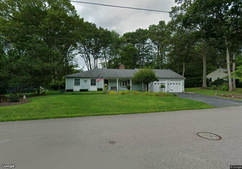
41 Page Rd North Attleboro, MA 02760
North Attleboro NeighborhoodEstimated Value: $578,000 - $727,000
3
Beds
3
Baths
1,804
Sq Ft
$368/Sq Ft
Est. Value
About This Home
This home is located at 41 Page Rd, North Attleboro, MA 02760 and is currently estimated at $663,410, approximately $367 per square foot. 41 Page Rd is a home located in Bristol County with nearby schools including North Attleboro High School.
Ownership History
Date
Name
Owned For
Owner Type
Purchase Details
Closed on
Jun 16, 2006
Sold by
Bonneville Elizabeth A and Stpierre Elizabeth A
Bought by
Stpierre Elizabeth A and Stpierre Michael P
Current Estimated Value
Purchase Details
Closed on
Jan 25, 1991
Sold by
Payette Arthur E
Bought by
St Pierre Michael and Bonneville Eliz A
Create a Home Valuation Report for This Property
The Home Valuation Report is an in-depth analysis detailing your home's value as well as a comparison with similar homes in the area
Home Values in the Area
Average Home Value in this Area
Purchase History
| Date | Buyer | Sale Price | Title Company |
|---|---|---|---|
| Stpierre Elizabeth A | -- | -- | |
| St Pierre Michael | $145,000 | -- |
Source: Public Records
Mortgage History
| Date | Status | Borrower | Loan Amount |
|---|---|---|---|
| Open | St Pierre Michael | $262,000 | |
| Previous Owner | St Pierre Michael | $215,000 |
Source: Public Records
Tax History Compared to Growth
Tax History
| Year | Tax Paid | Tax Assessment Tax Assessment Total Assessment is a certain percentage of the fair market value that is determined by local assessors to be the total taxable value of land and additions on the property. | Land | Improvement |
|---|---|---|---|---|
| 2025 | $7,902 | $670,200 | $146,800 | $523,400 |
| 2024 | $7,448 | $645,400 | $146,800 | $498,600 |
| 2023 | $7,239 | $566,000 | $153,200 | $412,800 |
| 2022 | $6,415 | $460,500 | $146,800 | $313,700 |
| 2021 | $6,283 | $440,300 | $146,800 | $293,500 |
| 2020 | $5,861 | $408,400 | $146,800 | $261,600 |
| 2019 | $5,670 | $398,200 | $133,400 | $264,800 |
| 2018 | $4,942 | $370,500 | $133,400 | $237,100 |
| 2017 | $4,746 | $359,000 | $133,400 | $225,600 |
| 2016 | $4,568 | $345,500 | $154,700 | $190,800 |
| 2015 | $4,422 | $336,500 | $161,100 | $175,400 |
| 2014 | $4,165 | $314,600 | $141,400 | $173,200 |
Source: Public Records
Map
Nearby Homes
- 0 Anawan Rd
- 49 Hoppin Hill Ave
- 25 Gregory Way
- 40 Sperry Ln
- 30 Sperry Ln Unit Lot 15
- 50 Metcalf Rd
- 334 S Washington St
- 19 Metcalf Cir
- 130 E Washington St Unit 84
- 130 E Washington St Unit 71
- 80 Broadway Unit 9
- 160 Crescent Ave
- 121 E Washington St Unit 13
- 121 E Washington St Unit 11
- 121 E Washington St Unit 12
- 121 E Washington St Unit 8
- 121 E Washington St Unit 6
- 33 Ash St
- 11 Primrose Terrace
- 151 Roosevelt Ave Unit A