41 Pamela Ct Levittown, PA 19057
Estimated Value: $267,000 - $287,000
2
Beds
3
Baths
1,242
Sq Ft
$225/Sq Ft
Est. Value
About This Home
This home is located at 41 Pamela Ct, Levittown, PA 19057 and is currently estimated at $279,841, approximately $225 per square foot. 41 Pamela Ct is a home located in Bucks County with nearby schools including Truman Senior High School, First Presbyterian Church School, and Hope Lutheran School.
Ownership History
Date
Name
Owned For
Owner Type
Purchase Details
Closed on
Apr 18, 2017
Sold by
Wells Fargo Bank Na
Bought by
Rpk Holdings Llc
Current Estimated Value
Purchase Details
Closed on
Apr 29, 2016
Sold by
Engelman Michael and Engelman Verna
Bought by
Wells Fargo Bank National Association
Purchase Details
Closed on
Sep 30, 1994
Sold by
Straccio John Joseph
Bought by
Engelmann Michael J and Engelmann Verna N
Home Financials for this Owner
Home Financials are based on the most recent Mortgage that was taken out on this home.
Original Mortgage
$85,550
Interest Rate
8.5%
Mortgage Type
FHA
Purchase Details
Closed on
Nov 27, 1989
Bought by
Straccio John Joseph
Create a Home Valuation Report for This Property
The Home Valuation Report is an in-depth analysis detailing your home's value as well as a comparison with similar homes in the area
Home Values in the Area
Average Home Value in this Area
Purchase History
| Date | Buyer | Sale Price | Title Company |
|---|---|---|---|
| Rpk Holdings Llc | $92,259 | None Available | |
| Wells Fargo Bank National Association | $1,102 | None Available | |
| Engelmann Michael J | $87,550 | -- | |
| Straccio John Joseph | $97,900 | -- |
Source: Public Records
Mortgage History
| Date | Status | Borrower | Loan Amount |
|---|---|---|---|
| Previous Owner | Engelmann Michael J | $85,550 |
Source: Public Records
Tax History Compared to Growth
Tax History
| Year | Tax Paid | Tax Assessment Tax Assessment Total Assessment is a certain percentage of the fair market value that is determined by local assessors to be the total taxable value of land and additions on the property. | Land | Improvement |
|---|---|---|---|---|
| 2025 | $4,242 | $15,620 | -- | $15,620 |
| 2024 | $4,242 | $15,620 | $0 | $15,620 |
| 2023 | $4,211 | $15,620 | $0 | $15,620 |
| 2022 | $4,211 | $15,620 | $0 | $15,620 |
| 2021 | $4,211 | $15,620 | $0 | $15,620 |
| 2020 | $4,211 | $15,620 | $0 | $15,620 |
| 2019 | $4,195 | $15,620 | $0 | $15,620 |
| 2018 | $4,128 | $15,620 | $0 | $15,620 |
| 2017 | $4,663 | $17,920 | $0 | $17,920 |
| 2016 | $3,818 | $17,920 | $0 | $17,920 |
| 2015 | $3,616 | $17,920 | $0 | $17,920 |
| 2014 | $3,616 | $17,920 | $0 | $17,920 |
Source: Public Records
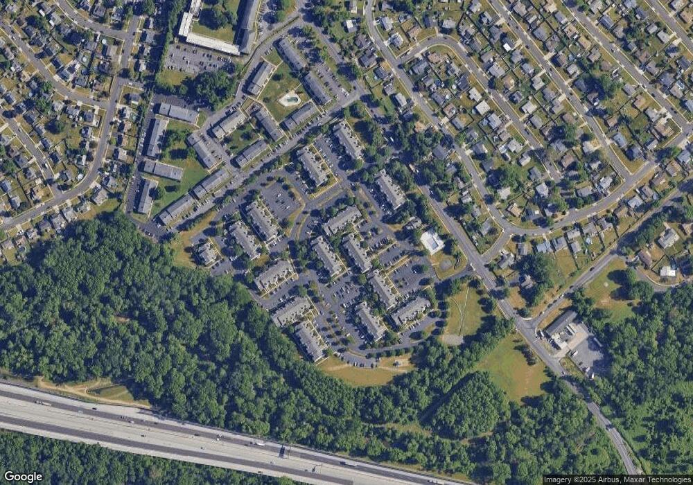
Map
Nearby Homes
- 150 Naomi Ct Unit 811
- 23 Misty Pine Rd
- 57 Middle Rd
- 2519 Woodlawn Dr
- 50 Micahill Rd
- 145 Mill Dr
- 3021 Bath Rd
- 47 Plumbridge Dr
- 19 Prunewood Rd
- 38 Plumtree Rd
- 1019 Green Ln
- 35 Parkside Cir
- 101 Idlewild Rd
- 212 Plumbridge Dr
- 62 Indian Creek Dr
- 2205 Liberator St
- 5604 Fleetwing Dr
- 86 Wildflower Rd
- 0 West Ave
- 84 Whitewood Dr
- 60 Natalie Ct
- 60 Natalie Ct Unit 314
- 58 Natalie Ct Unit 304
- 41 Pamela Ct Unit 305
- 56 Natalie Ct Unit 313
- 43 Pamela Ct Unit 315
- 54 Natalie Ct Unit 312
- 45 Pamela Ct
- 47 Pamela Ct Unit 316
- 25 Natalie Ct Unit 206
- 29 Natalie Ct
- 27 Natalie Ct Unit 216
- 49 Pamela Ct Unit 317
- 31 Natalie Ct Unit 207
- 50 Natalie Ct Unit 311
- 33 Natalie Ct Unit 218
- 23 Natalie Ct Unit 215
- 21 Natalie Ct Unit 205
- 51 Pamela Ct Unit 307
- 35 Natalie Ct Unit 219