41 Parker Rd Holden, MA 01520
Estimated Value: $471,723 - $524,000
3
Beds
2
Baths
1,584
Sq Ft
$308/Sq Ft
Est. Value
About This Home
This home is located at 41 Parker Rd, Holden, MA 01520 and is currently estimated at $487,931, approximately $308 per square foot. 41 Parker Rd is a home located in Worcester County with nearby schools including Wachusett Regional High School, Abby Kelley Foster Charter Public School, and Bancroft School.
Ownership History
Date
Name
Owned For
Owner Type
Purchase Details
Closed on
Jun 28, 1991
Sold by
Capers William P and Capers Averil A
Bought by
Gillespie Thomas C and Gillespie Cynthia
Current Estimated Value
Home Financials for this Owner
Home Financials are based on the most recent Mortgage that was taken out on this home.
Original Mortgage
$109,200
Interest Rate
9.44%
Mortgage Type
Purchase Money Mortgage
Create a Home Valuation Report for This Property
The Home Valuation Report is an in-depth analysis detailing your home's value as well as a comparison with similar homes in the area
Home Values in the Area
Average Home Value in this Area
Purchase History
| Date | Buyer | Sale Price | Title Company |
|---|---|---|---|
| Gillespie Thomas C | $115,000 | -- |
Source: Public Records
Mortgage History
| Date | Status | Borrower | Loan Amount |
|---|---|---|---|
| Open | Gillespie Thomas C | $14,497 | |
| Closed | Gillespie Thomas C | $109,200 |
Source: Public Records
Tax History
| Year | Tax Paid | Tax Assessment Tax Assessment Total Assessment is a certain percentage of the fair market value that is determined by local assessors to be the total taxable value of land and additions on the property. | Land | Improvement |
|---|---|---|---|---|
| 2025 | $5,574 | $402,200 | $140,000 | $262,200 |
| 2024 | $5,197 | $367,300 | $135,900 | $231,400 |
| 2023 | $4,894 | $326,500 | $118,100 | $208,400 |
| 2022 | $4,693 | $283,400 | $92,300 | $191,100 |
| 2021 | $2,048 | $261,700 | $87,900 | $173,800 |
| 2020 | $4,354 | $256,100 | $83,700 | $172,400 |
| 2019 | $3,869 | $221,700 | $83,700 | $138,000 |
| 2018 | $3,703 | $210,300 | $79,700 | $130,600 |
| 2017 | $3,460 | $196,700 | $79,700 | $117,000 |
| 2016 | $3,243 | $188,000 | $76,000 | $112,000 |
| 2015 | $3,316 | $183,000 | $76,000 | $107,000 |
| 2014 | $3,248 | $183,000 | $76,000 | $107,000 |
Source: Public Records
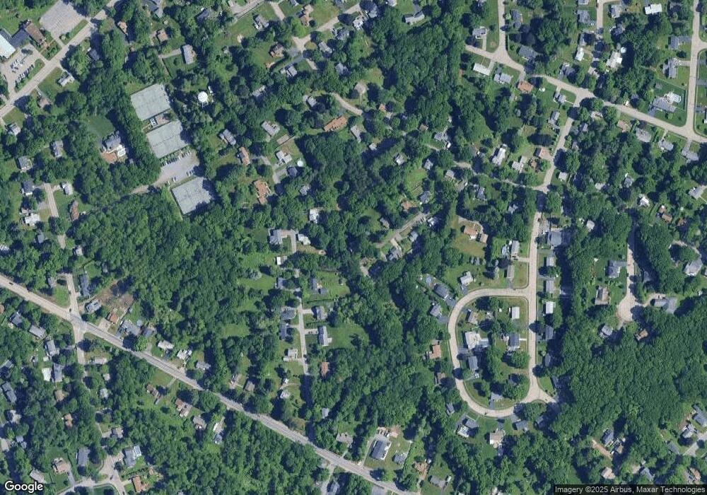
Map
Nearby Homes
- 12 Pinecroft Ave
- 250 Shrewsbury St
- 38 Juniper Ln
- 30 Osgood Ave
- 270 Brattle St
- 39 Mountainshire Dr
- 146 Shrewsbury St
- 504 Prospect St
- 22 Danielles Way
- 26 Danielles Way
- 31 Danielles Way
- 36 Sunrise Ave
- 3 Torrey Ln
- 5 Piehl Ave
- 42 N Worcester Ave
- 1110 W Boylston St Unit A
- 12 Newell Rd
- 10 Beale St
- 12 Beale St
- 55 Apthorp St
Your Personal Tour Guide
Ask me questions while you tour the home.