41 Parsons Beach Rd Kennebunk, ME 04043
Estimated Value: $3,168,000 - $8,528,000
8
Beds
6
Baths
4,019
Sq Ft
$1,247/Sq Ft
Est. Value
About This Home
This home is located at 41 Parsons Beach Rd, Kennebunk, ME 04043 and is currently estimated at $5,010,723, approximately $1,246 per square foot. 41 Parsons Beach Rd is a home located in York County with nearby schools including Kennebunk High School and The New School.
Ownership History
Date
Name
Owned For
Owner Type
Purchase Details
Closed on
Jan 7, 2010
Sold by
Alling Charles B
Bought by
Alling Abigail M
Current Estimated Value
Create a Home Valuation Report for This Property
The Home Valuation Report is an in-depth analysis detailing your home's value as well as a comparison with similar homes in the area
Home Values in the Area
Average Home Value in this Area
Purchase History
| Date | Buyer | Sale Price | Title Company |
|---|---|---|---|
| Alling Abigail M | -- | -- |
Source: Public Records
Tax History Compared to Growth
Tax History
| Year | Tax Paid | Tax Assessment Tax Assessment Total Assessment is a certain percentage of the fair market value that is determined by local assessors to be the total taxable value of land and additions on the property. | Land | Improvement |
|---|---|---|---|---|
| 2024 | $41,636 | $2,456,400 | $2,013,500 | $442,900 |
| 2023 | $39,425 | $2,456,400 | $2,013,500 | $442,900 |
| 2022 | $35,863 | $2,456,400 | $2,013,500 | $442,900 |
| 2021 | $34,590 | $2,456,400 | $2,013,500 | $442,900 |
| 2020 | $16,726 | $2,456,400 | $2,013,500 | $442,900 |
| 2019 | $33,776 | $2,456,400 | $2,013,500 | $442,900 |
| 2018 | $32,239 | $1,842,200 | $1,510,100 | $332,100 |
| 2017 | $137 | $1,842,200 | $1,510,100 | $332,100 |
| 2016 | $29,232 | $1,838,500 | $1,503,000 | $335,500 |
| 2015 | $28,746 | $1,892,100 | $1,556,600 | $335,500 |
| 2014 | $27,994 | $1,892,100 | $1,556,600 | $335,500 |
Source: Public Records
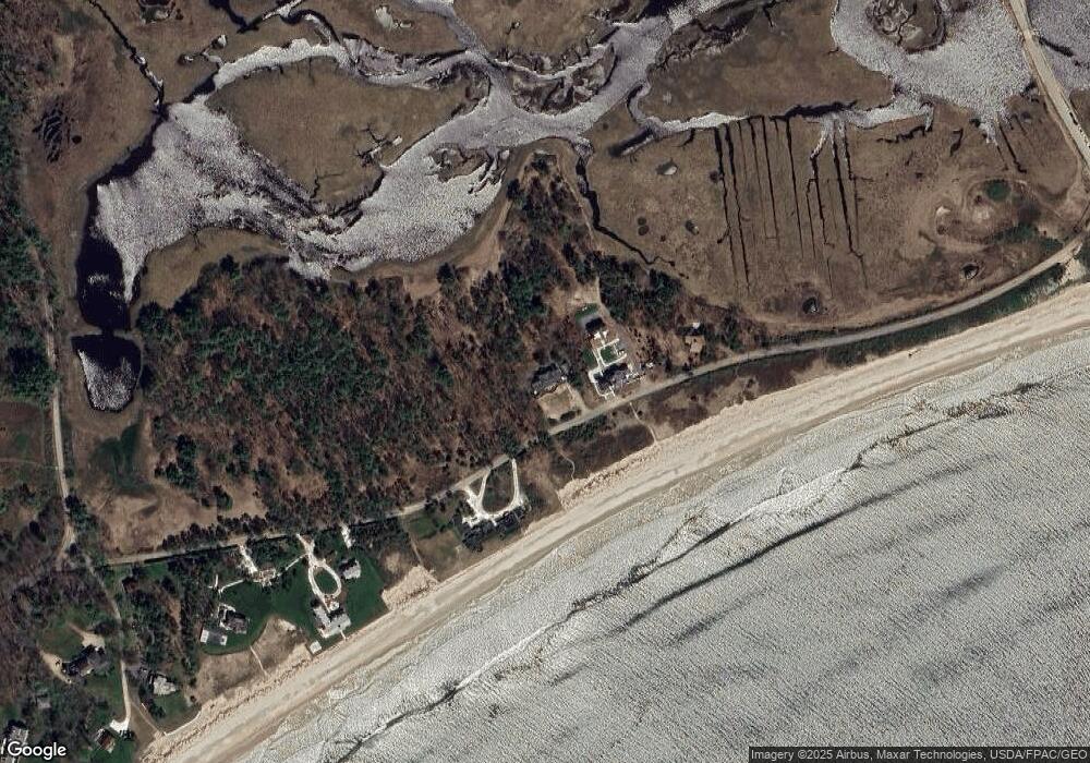
Map
Nearby Homes
- 40 Shorebreezes Ln Unit 40
- 53 Great Hill Rd
- 12 Ephraim Tyler Way
- 20 Ephraim Tyler Way Unit 20
- 15 Benjamin Hubbard Ln Unit 15
- 238 Laudholm Farm Rd
- 57 Southgate Rd
- 175 Beach Ave Unit 2
- 161 Brown St
- 147 Beach Ave Unit 42
- 20 Surf Ln
- 143 Beach Ave Unit 205
- 143 Beach Ave Unit 203
- 149 Beach Ave Unit 107
- 87 Boothby Rd
- 163 Island Beach Rd
- 17 Bayberry Ave
- 93 Beach Ave
- 15 Heritage Dr Unit 15
- 2 Boundary Way
- 37 Parsons Beach Rd
- 44 Parsons Beach Rd
- 35 Parsons Beach Rd
- 46 Parsons Beach Rd
- 48 Parsons Beach Rd
- 50 Parsons Beach Rd
- 000 Crescent Surf Dr
- 6 Crescent Surf Dr
- 10 Crescent Surf Dr
- 0 Crescent Surf Rd Unit 652835
- 0 Crescent Surf Rd Unit 1494106
- TBD Crescent Surf Dr
- TBD Crescent Surf Rd
- 14 Crescent Surf Dr
- 1 Crescent Surf Dr
- 00 Parsons Beach Rd
- 42 Parsons Beach Rd
- 16 Crescent Surf Dr
- 18 Crescent Surf Dr
- 000 Crescent Surf Rd