41 Perl Smith Rd Nordman, ID 83848
Estimated Value: $508,932 - $687,000
1
Bed
1
Bath
896
Sq Ft
$643/Sq Ft
Est. Value
About This Home
This home is located at 41 Perl Smith Rd, Nordman, ID 83848 and is currently estimated at $575,733, approximately $642 per square foot. 41 Perl Smith Rd is a home located in Bonner County.
Ownership History
Date
Name
Owned For
Owner Type
Purchase Details
Closed on
May 15, 2018
Sold by
Wisdom Florence
Bought by
Law Richard B and Law Kathleen G
Current Estimated Value
Home Financials for this Owner
Home Financials are based on the most recent Mortgage that was taken out on this home.
Original Mortgage
$148,500
Outstanding Balance
$127,863
Interest Rate
4.4%
Mortgage Type
New Conventional
Estimated Equity
$447,870
Purchase Details
Closed on
Jun 16, 2013
Sold by
Wisdom James C and Wisdom Florence L
Bought by
Wisdom Florence
Create a Home Valuation Report for This Property
The Home Valuation Report is an in-depth analysis detailing your home's value as well as a comparison with similar homes in the area
Home Values in the Area
Average Home Value in this Area
Purchase History
| Date | Buyer | Sale Price | Title Company |
|---|---|---|---|
| Law Richard B | -- | North Idaho Title Co Sandpoi | |
| Wisdom Florence | -- | None Available |
Source: Public Records
Mortgage History
| Date | Status | Borrower | Loan Amount |
|---|---|---|---|
| Open | Law Richard B | $148,500 |
Source: Public Records
Tax History Compared to Growth
Tax History
| Year | Tax Paid | Tax Assessment Tax Assessment Total Assessment is a certain percentage of the fair market value that is determined by local assessors to be the total taxable value of land and additions on the property. | Land | Improvement |
|---|---|---|---|---|
| 2025 | $1,206 | $420,653 | $325,085 | $95,568 |
| 2024 | $1,206 | $374,972 | $277,404 | $97,568 |
| 2023 | $1,082 | $309,504 | $197,936 | $111,568 |
| 2022 | $1,391 | $301,164 | $189,596 | $111,568 |
| 2021 | $1,200 | $172,983 | $111,109 | $61,874 |
| 2020 | $1,225 | $172,729 | $111,109 | $61,620 |
| 2019 | $890 | $172,729 | $111,109 | $61,620 |
| 2018 | $895 | $106,797 | $68,000 | $38,797 |
| 2017 | $895 | $103,270 | $0 | $0 |
| 2016 | $930 | $103,920 | $0 | $0 |
| 2015 | -- | $100,140 | $0 | $0 |
| 2014 | -- | $111,870 | $0 | $0 |
Source: Public Records
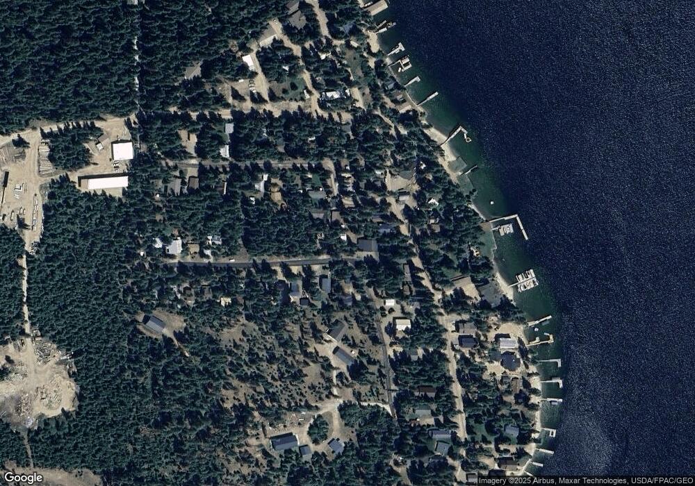
Map
Nearby Homes
- 2 Hagman Rd
- 586 Hagman Rd Unit 1-C
- 733 Hagman Rd
- Lot 30 Bruin Rd
- Lot 29 Bruin Rd
- Lot 28 Bruin Rd
- Lot 27 Bruin Rd
- 52 White Fir Ln
- 204 S Granite Bay Rd
- 316 Granite Creek Rd
- 3713 Reeder Bay Rd
- 62 Timber Ln
- 118 Timber Ln
- 44 Palouse Dr
- 27 Fremont Ln
- 21 Fremont Ln
- NNA S Diamond Park Rd
- 40 Palouse Dr (B12) Dr
- 52 Palouse Dr
- 74 Palouse Dr
- 631 Hagman Rd
- 71 Perl Smith Rd
- 651 Hagman Rd
- 38 Mountain View Rd
- 0 Perl Smith Rd
- NNA Perl Smith Rd
- 42 Perl Smith Rd
- 84 Perl Smith Rd
- 609 Hagman Rd
- 45 Mountain View Rd
- 72 Mount View Rd
- 599 Hagman Rd
- 589 Hagman Rd
- 88 Perl Smith Rd
- 20 Noonan Ct
- 0 Hagman Rd
- 96 Mountain View Rd
- 38 Dusty Acres Rd
- 10 Noonan Ct
- 681 Hagman Rd