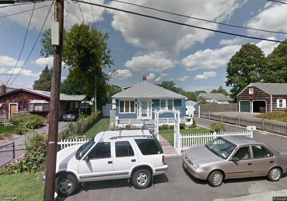
41 Pine Blvd Patchogue, NY 11772
Estimated Value: $452,671 - $597,000
Studio
--
Bath
--
Sq Ft
5,663
Sq Ft Lot
About This Home
This home is located at 41 Pine Blvd, Patchogue, NY 11772 and is currently estimated at $539,668. 41 Pine Blvd is a home located in Suffolk County with nearby schools including Patchogue-Medford High School and Holy Angels Regional School.
Ownership History
Date
Name
Owned For
Owner Type
Purchase Details
Closed on
Apr 14, 2018
Sold by
Walsh Michael
Bought by
Walsh Michael and Walsh Helen
Current Estimated Value
Purchase Details
Closed on
Aug 15, 2007
Sold by
Duelli
Bought by
Walsh Michael
Purchase Details
Closed on
Oct 26, 2000
Sold by
Gill Maurice
Bought by
Duelli Dominik M and Hastings Michelle L
Home Financials for this Owner
Home Financials are based on the most recent Mortgage that was taken out on this home.
Original Mortgage
$117,900
Interest Rate
7.78%
Create a Home Valuation Report for This Property
The Home Valuation Report is an in-depth analysis detailing your home's value as well as a comparison with similar homes in the area
Home Values in the Area
Average Home Value in this Area
Purchase History
| Date | Buyer | Sale Price | Title Company |
|---|---|---|---|
| Walsh Michael | -- | -- | |
| Walsh Michael | $263,000 | Paul Lovegrove | |
| Duelli Dominik M | $124,500 | First American Title Ins Co |
Source: Public Records
Mortgage History
| Date | Status | Borrower | Loan Amount |
|---|---|---|---|
| Previous Owner | Duelli Dominik M | $117,900 |
Source: Public Records
Tax History
| Year | Tax Paid | Tax Assessment Tax Assessment Total Assessment is a certain percentage of the fair market value that is determined by local assessors to be the total taxable value of land and additions on the property. | Land | Improvement |
|---|---|---|---|---|
| 2024 | $7,547 | $1,310 | $210 | $1,100 |
| 2023 | $5,238 | $1,310 | $210 | $1,100 |
| 2022 | $4,679 | $1,310 | $210 | $1,100 |
| 2021 | $4,679 | $1,310 | $210 | $1,100 |
| 2020 | $6,990 | $1,310 | $210 | $1,100 |
| 2019 | $6,963 | $0 | $0 | $0 |
| 2018 | $4,514 | $1,310 | $210 | $1,100 |
| 2017 | $4,514 | $1,310 | $210 | $1,100 |
| 2016 | $4,405 | $1,310 | $210 | $1,100 |
| 2015 | -- | $1,310 | $210 | $1,100 |
| 2014 | -- | $1,310 | $210 | $1,100 |
Source: Public Records
Map
Nearby Homes
- 109 Laurel St
- 263 River Ave Unit 16AU
- 263 River Ave Unit 5LD - Building 1
- 25 Patchogue St
- Arlington Patchogue St
- 215 West Ave
- 255 Cedar Ave
- 123 Jackie Ct
- 89 Cedar Ave
- 134 Jackie Ct
- 73 Brightwood St
- 16 Bransford St
- 51 Cedar Ave
- 20 Brightwood St
- 50 Furman Ln
- 32 Pearl St
- 808 Emily Dr
- 43 Fair Harbor Dr Unit 43 Building 3
- 51 Marvin St
- 230 Fairharbor Dr Unit 230
Your Personal Tour Guide
Ask me questions while you tour the home.