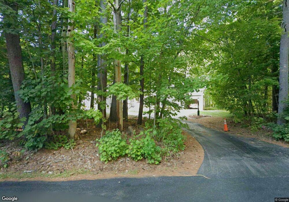
41 Pine St Lunenburg, MA 01462
Estimated Value: $716,000 - $876,000
5
Beds
4
Baths
4,200
Sq Ft
$190/Sq Ft
Est. Value
About This Home
This home is located at 41 Pine St, Lunenburg, MA 01462 and is currently estimated at $798,979, approximately $190 per square foot. 41 Pine St is a home located in Worcester County with nearby schools including Lunenburg Primary School and Lunenburg High School.
Ownership History
Date
Name
Owned For
Owner Type
Purchase Details
Closed on
Jun 28, 2000
Sold by
Clements Ellen Dee and Clements Gary W
Bought by
Mcsweeney Kelly A and White Micheal G
Current Estimated Value
Purchase Details
Closed on
Nov 18, 1998
Sold by
Niemi Wayne D and Niemi Karen A
Bought by
Clements Gary W and Clements Ellen Dee
Purchase Details
Closed on
Jul 11, 1990
Sold by
J & A Rt
Bought by
Seven Cs Rt
Create a Home Valuation Report for This Property
The Home Valuation Report is an in-depth analysis detailing your home's value as well as a comparison with similar homes in the area
Home Values in the Area
Average Home Value in this Area
Purchase History
| Date | Buyer | Sale Price | Title Company |
|---|---|---|---|
| Mcsweeney Kelly A | $272,000 | -- | |
| Clements Gary W | $226,000 | -- | |
| Seven Cs Rt | $55,000 | -- |
Source: Public Records
Mortgage History
| Date | Status | Borrower | Loan Amount |
|---|---|---|---|
| Open | Seven Cs Rt | $25,000 | |
| Open | Seven Cs Rt | $230,000 |
Source: Public Records
Tax History
| Year | Tax Paid | Tax Assessment Tax Assessment Total Assessment is a certain percentage of the fair market value that is determined by local assessors to be the total taxable value of land and additions on the property. | Land | Improvement |
|---|---|---|---|---|
| 2025 | $10,300 | $717,300 | $141,600 | $575,700 |
| 2024 | $9,612 | $681,700 | $133,600 | $548,100 |
| 2023 | $9,158 | $626,400 | $121,400 | $505,000 |
| 2022 | $8,837 | $514,100 | $101,200 | $412,900 |
| 2020 | $8,540 | $471,300 | $101,000 | $370,300 |
| 2019 | $7,782 | $416,600 | $95,200 | $321,400 |
| 2018 | $7,910 | $401,500 | $94,800 | $306,700 |
| 2017 | $7,774 | $389,100 | $90,700 | $298,400 |
| 2016 | $7,434 | $379,100 | $86,300 | $292,800 |
| 2015 | $6,923 | $377,900 | $81,900 | $296,000 |
Source: Public Records
Map
Nearby Homes
- 12 Cortland Cir Unit 12
- 35 Leominster Rd
- 110 Burrage St
- 167 S Row Rd
- 91 Valley Rd
- 36 Gilchrest St
- 309 Reservoir Rd
- 601 Flat Hill Rd
- 63 Holman St
- 319 Highland St
- 11 Longwood Dr
- 711 Massachusetts Ave Unit 2
- 146-148 Kilburn St
- 45 Spring St
- 22 Townsend Rd
- 24 Townsend Rd
- Lot 5 Townsend Rd
- 365 Hollis Rd
- 80 W Townsend Rd
- Lot 10 Christian Cir
Your Personal Tour Guide
Ask me questions while you tour the home.