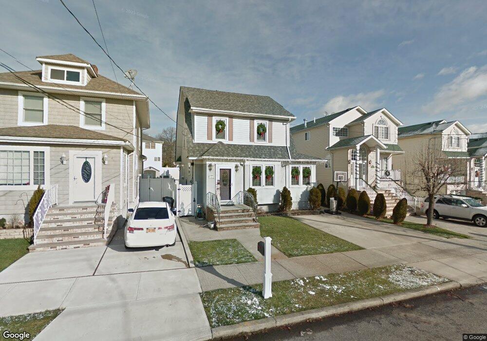
41 Pitney Ave Staten Island, NY 10309
Woodrow NeighborhoodEstimated Value: $758,071 - $964,000
--
Bed
4
Baths
1,775
Sq Ft
$480/Sq Ft
Est. Value
About This Home
This home is located at 41 Pitney Ave, Staten Island, NY 10309 and is currently estimated at $852,357, approximately $480 per square foot. 41 Pitney Ave is a home located in Richmond County with nearby schools including Kathleen Grimm School For Leadership, P.S. 3 - The Margaret Gioiosa School, and Is 34 Tottenville.
Ownership History
Date
Name
Owned For
Owner Type
Purchase Details
Closed on
Dec 11, 2019
Sold by
Malloy Ellen and Malloy Peter
Bought by
Malloy Ellen
Current Estimated Value
Purchase Details
Closed on
Jul 29, 1998
Sold by
Benaducci Robert and Benaducci Mary
Bought by
Malloy Peter and Malloy Ellen
Home Financials for this Owner
Home Financials are based on the most recent Mortgage that was taken out on this home.
Original Mortgage
$168,300
Outstanding Balance
$35,049
Interest Rate
6.9%
Estimated Equity
$817,308
Create a Home Valuation Report for This Property
The Home Valuation Report is an in-depth analysis detailing your home's value as well as a comparison with similar homes in the area
Home Values in the Area
Average Home Value in this Area
Purchase History
| Date | Buyer | Sale Price | Title Company |
|---|---|---|---|
| Malloy Ellen | -- | None Available | |
| Malloy Peter | $198,000 | Trw Title Insurance |
Source: Public Records
Mortgage History
| Date | Status | Borrower | Loan Amount |
|---|---|---|---|
| Open | Malloy Peter | $168,300 |
Source: Public Records
Tax History Compared to Growth
Tax History
| Year | Tax Paid | Tax Assessment Tax Assessment Total Assessment is a certain percentage of the fair market value that is determined by local assessors to be the total taxable value of land and additions on the property. | Land | Improvement |
|---|---|---|---|---|
| 2025 | $5,872 | $52,260 | $7,961 | $44,299 |
| 2024 | $5,872 | $42,720 | $9,198 | $33,522 |
| 2023 | $5,938 | $29,237 | $8,539 | $20,698 |
| 2022 | $5,779 | $38,760 | $13,440 | $25,320 |
| 2021 | $5,753 | $34,860 | $13,440 | $21,420 |
| 2020 | $5,460 | $34,380 | $13,440 | $20,940 |
| 2019 | $5,097 | $29,880 | $13,440 | $16,440 |
| 2018 | $4,669 | $24,364 | $9,659 | $14,705 |
| 2017 | $4,618 | $24,124 | $9,988 | $14,136 |
| 2016 | $4,244 | $22,780 | $10,124 | $12,656 |
| 2015 | $3,592 | $21,496 | $8,741 | $12,755 |
| 2014 | $3,592 | $20,304 | $7,682 | $12,622 |
Source: Public Records
Map
Nearby Homes
- 75 Churchill Ave
- 105 Churchill Ave
- 116 Churchill Ave
- 476 Hargold Ave
- 55 Quail Ln
- 149 Dunham St
- 28 Hallister St
- 182 Pembrook Loop
- 66 Pleasant Plains Ave
- 52 Pleasant Plains Ave
- 6233 Amboy Rd
- 19 Woodrose Ln
- 50 Mallard Ln
- 23 Helene Ct
- 117 Pembrook Loop
- 95 Station Ave
- 6321 Amboy Rd
- 23 Sharon Ln
- 26 Station Ave
- 518 Bradford Ave