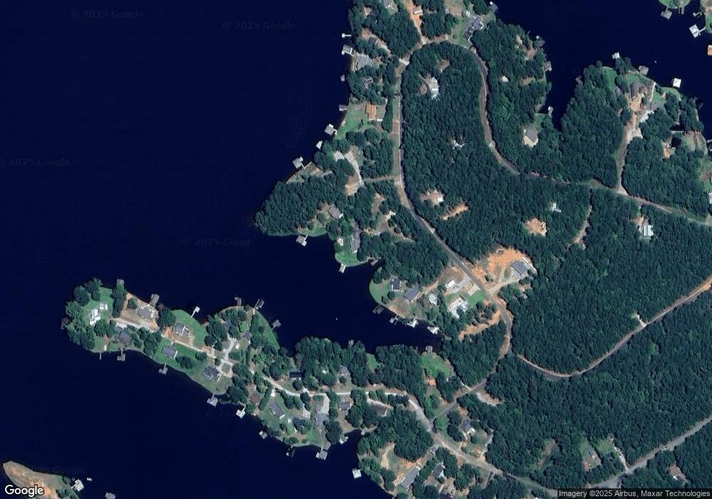
41 Port Hole Ct Unit 653 Sparta, GA 31087
Estimated Value: $317,000 - $789,000
3
Beds
3
Baths
1,840
Sq Ft
$280/Sq Ft
Est. Value
About This Home
This home is located at 41 Port Hole Ct Unit 653, Sparta, GA 31087 and is currently estimated at $515,510, approximately $280 per square foot. 41 Port Hole Ct Unit 653 is a home located in Hancock County with nearby schools including Lewis Elementary School, Hancock Central Middle School, and Hancock Central High School.
Ownership History
Date
Name
Owned For
Owner Type
Purchase Details
Closed on
Nov 9, 2018
Sold by
Larsen Jeanne
Bought by
Rosen Jeffrey D and Rosen Diane S
Current Estimated Value
Home Financials for this Owner
Home Financials are based on the most recent Mortgage that was taken out on this home.
Original Mortgage
$312,750
Outstanding Balance
$273,310
Interest Rate
4.9%
Mortgage Type
New Conventional
Estimated Equity
$242,200
Purchase Details
Closed on
Apr 18, 2005
Sold by
Bogusky Kenneth D
Bought by
Larsen Jeanne and Larsen Robert
Home Financials for this Owner
Home Financials are based on the most recent Mortgage that was taken out on this home.
Original Mortgage
$156,000
Interest Rate
1%
Mortgage Type
New Conventional
Purchase Details
Closed on
Sep 30, 2002
Sold by
Hubbard James W and Hubbard Ba
Bought by
Bogusky Kenneth D
Purchase Details
Closed on
Nov 3, 1992
Sold by
Kelley Sarah
Bought by
Hubbard James W and Hubbard Ba
Create a Home Valuation Report for This Property
The Home Valuation Report is an in-depth analysis detailing your home's value as well as a comparison with similar homes in the area
Home Values in the Area
Average Home Value in this Area
Purchase History
| Date | Buyer | Sale Price | Title Company |
|---|---|---|---|
| Rosen Jeffrey D | $347,500 | -- | |
| Larsen Jeanne | $260,000 | -- | |
| Bogusky Kenneth D | $200,000 | -- | |
| Hubbard James W | $28,000 | -- |
Source: Public Records
Mortgage History
| Date | Status | Borrower | Loan Amount |
|---|---|---|---|
| Open | Rosen Jeffrey D | $312,750 | |
| Previous Owner | Larsen Jeanne | $156,000 |
Source: Public Records
Tax History Compared to Growth
Tax History
| Year | Tax Paid | Tax Assessment Tax Assessment Total Assessment is a certain percentage of the fair market value that is determined by local assessors to be the total taxable value of land and additions on the property. | Land | Improvement |
|---|---|---|---|---|
| 2024 | $3,198 | $99,083 | $44,000 | $55,083 |
| 2023 | $3,216 | $99,083 | $44,000 | $55,083 |
| 2022 | $3,159 | $99,083 | $44,000 | $55,083 |
| 2021 | $3,166 | $99,083 | $44,000 | $55,083 |
| 2020 | $3,169 | $99,083 | $44,000 | $55,083 |
| 2019 | $3,171 | $99,083 | $44,000 | $55,083 |
| 2018 | $2,910 | $93,146 | $41,600 | $51,546 |
| 2017 | $2,906 | $93,142 | $41,600 | $51,542 |
| 2016 | $2,909 | $93,142 | $41,600 | $51,542 |
| 2015 | -- | $93,142 | $41,600 | $51,542 |
| 2014 | -- | $93,142 | $41,600 | $51,542 |
| 2013 | -- | $93,141 | $41,600 | $51,541 |
Source: Public Records
Map
Nearby Homes
- LOT 752 Starboard Trail
- 767 Lot 767 Starboard Pass
- 00 River Ridge Trail
- 105 Sands Dr
- 84 Helton Dr
- 0 Oconee Dr Unit 7659937
- 0 Oconee Dr Unit 10618597
- 4280 Big Water E
- 114 Sinclair Ln
- 0 River Ridge Trail Unit 10449394
- 370 David Williams Rd
- 390 David Williams Rd
- 115 Griffin Point Rd
- 9 Syrup Ln
- 4096 Big Water East Rd
- 133 Wildwood Dr
- 70 Lakewood Dr
- 338 Sinclair Rd
- 41 Port Hole Ct
- 106 Porthole Rd Unit 652
- 106 Port Hole Ct Unit 652
- 106 Port Hole Ct
- 44 Port Hole Ct Unit 649
- 43 Port Hole Ct
- 36 Port Hole Ct
- 704 Starboard Trail
- 722 Starboard Trail
- 1916 Oconee Dr
- 255 Starboard Trail
- 2170 Oconee Dr
- 2188 Oconee Dr
- 2142 Oconee Dr
- 616 Starboard Trail
- 2126 Oconee Dr Dr
- 2260 Oconee Dr
- 2266 Oconee Dr
- 2206 Oconee Dr
- 2265 Oconee Dr
