41 Pound Rd Durham, ME 04222
Estimated Value: $232,388 - $546,000
Studio
--
Bath
--
Sq Ft
87,120
Sq Ft Lot
About This Home
This home is located at 41 Pound Rd, Durham, ME 04222 and is currently estimated at $373,347. 41 Pound Rd is a home with nearby schools including Durham Community School and Freeport High School.
Ownership History
Date
Name
Owned For
Owner Type
Purchase Details
Closed on
Mar 5, 2018
Sold by
Gamache Lena A and Hildebrandt Lena A
Bought by
Gamache Lena A and Gamache Steven G
Current Estimated Value
Home Financials for this Owner
Home Financials are based on the most recent Mortgage that was taken out on this home.
Original Mortgage
$63,000
Interest Rate
4.04%
Mortgage Type
Unknown
Purchase Details
Closed on
Apr 9, 2013
Sold by
Hildebrandt Philip V
Bought by
Hildebrandt Lena A
Create a Home Valuation Report for This Property
The Home Valuation Report is an in-depth analysis detailing your home's value as well as a comparison with similar homes in the area
Home Values in the Area
Average Home Value in this Area
Purchase History
| Date | Buyer | Sale Price | Title Company |
|---|---|---|---|
| Gamache Lena A | -- | -- | |
| Hildebrandt Lena A | -- | -- |
Source: Public Records
Mortgage History
| Date | Status | Borrower | Loan Amount |
|---|---|---|---|
| Closed | Gamache Lena A | $63,000 |
Source: Public Records
Tax History
| Year | Tax Paid | Tax Assessment Tax Assessment Total Assessment is a certain percentage of the fair market value that is determined by local assessors to be the total taxable value of land and additions on the property. | Land | Improvement |
|---|---|---|---|---|
| 2024 | $2,597 | $119,400 | $55,800 | $63,600 |
| 2023 | $2,549 | $119,400 | $55,800 | $63,600 |
| 2022 | $2,472 | $119,400 | $55,800 | $63,600 |
| 2021 | $2,472 | $119,400 | $55,800 | $63,600 |
| 2020 | $2,418 | $119,400 | $55,800 | $63,600 |
| 2019 | $2,418 | $119,400 | $55,800 | $63,600 |
| 2018 | $2,352 | $119,400 | $55,800 | $63,600 |
| 2016 | $2,245 | $119,400 | $55,800 | $63,600 |
| 2015 | $2,078 | $119,400 | $55,800 | $63,600 |
| 2014 | $1,988 | $119,400 | $55,800 | $63,600 |
| 2013 | $1,785 | $119,400 | $55,800 | $63,600 |
Source: Public Records
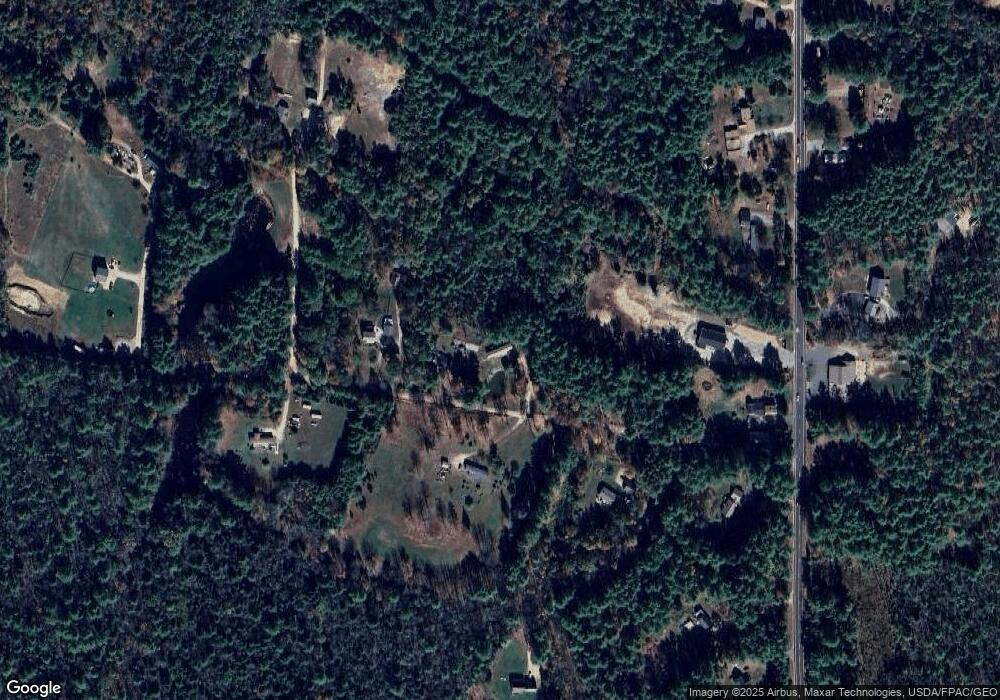
Map
Nearby Homes
- 39 Pine Knoll Dr
- 006-114 Old Brunswick Rd
- 253 Quaker Meeting House Rd
- 277 Ferry Rd
- 45 Ruby Ln
- 24 Mattie Ln
- 850 Lawrence Rd
- 52 Shiloh Rd
- 768 Lawrence Rd
- 36 Andrea St
- 606 Lisbon St
- 13 Frost Hill Ave
- 22 Arrowhead Dr
- 9 Commons Dr
- 146 Shiloh Rd
- 645 Lisbon St
- 26 Stanley Dr
- Lot 9 Little Fawn Ln
- 14 Goddard St
- 27 Bowdoin St
- 32 Pound Rd
- 49 Pound Rd
- 0 Corner of Old Brunswick Road & Rd Unit 1211429
- 60 Pound Rd
- 59 Pound Rd
- 1055 Royalsborough Rd
- 1065 Royalsborough Rd
- 12 Pound Rd
- 1033 Royalsborough Rd
- 0 Pound
- 1021 Royalsborough Rd
- 20 Pound Rd
- 1079 Royalsborough Rd
- 56 Emerson Rd
- Lot 2 Plourde
- Lot 3 Plourde
- Lot 8 Hailie Heights
- Lots1-3 Plourde Way
- Lot 13 Louis Dr
- 165 Lunt Rd
Your Personal Tour Guide
Ask me questions while you tour the home.