41 Randolph Dr Tewksbury, MA 01876
Estimated Value: $409,431 - $412,000
2
Beds
1
Bath
1,100
Sq Ft
$374/Sq Ft
Est. Value
About This Home
This home is located at 41 Randolph Dr, Tewksbury, MA 01876 and is currently estimated at $410,858, approximately $373 per square foot. 41 Randolph Dr is a home located in Middlesex County.
Ownership History
Date
Name
Owned For
Owner Type
Purchase Details
Closed on
Jun 1, 1998
Sold by
Hansberry Michael P
Bought by
Dristiliaris Georgia
Current Estimated Value
Home Financials for this Owner
Home Financials are based on the most recent Mortgage that was taken out on this home.
Original Mortgage
$89,300
Interest Rate
7.12%
Mortgage Type
Purchase Money Mortgage
Purchase Details
Closed on
Sep 27, 1996
Sold by
Dipietro Frank
Bought by
Hansberry Michael P
Purchase Details
Closed on
Aug 31, 1995
Sold by
Boston Federal Sb
Bought by
Dipietro Frank
Purchase Details
Closed on
Aug 10, 1995
Sold by
Macadams Scott
Bought by
Boston Federal Sb
Purchase Details
Closed on
Jul 24, 1987
Sold by
Barnes Brice R
Bought by
Macadams Scott A
Create a Home Valuation Report for This Property
The Home Valuation Report is an in-depth analysis detailing your home's value as well as a comparison with similar homes in the area
Home Values in the Area
Average Home Value in this Area
Purchase History
| Date | Buyer | Sale Price | Title Company |
|---|---|---|---|
| Dristiliaris Georgia | $94,000 | -- | |
| Hansberry Michael P | $84,500 | -- | |
| Dipietro Frank | $68,000 | -- | |
| Boston Federal Sb | $51,000 | -- | |
| Macadams Scott A | $117,900 | -- |
Source: Public Records
Mortgage History
| Date | Status | Borrower | Loan Amount |
|---|---|---|---|
| Open | Macadams Scott A | $92,000 | |
| Closed | Macadams Scott A | $89,300 | |
| Previous Owner | Macadams Scott A | $73,600 |
Source: Public Records
Tax History Compared to Growth
Tax History
| Year | Tax Paid | Tax Assessment Tax Assessment Total Assessment is a certain percentage of the fair market value that is determined by local assessors to be the total taxable value of land and additions on the property. | Land | Improvement |
|---|---|---|---|---|
| 2025 | $4,669 | $353,200 | $0 | $353,200 |
| 2024 | $4,104 | $306,500 | $0 | $306,500 |
| 2023 | $4,279 | $303,500 | $0 | $303,500 |
| 2022 | $4,022 | $264,600 | $0 | $264,600 |
| 2021 | $4,075 | $259,200 | $0 | $259,200 |
| 2020 | $4,048 | $253,500 | $0 | $253,500 |
| 2019 | $3,681 | $232,400 | $0 | $232,400 |
| 2018 | $3,291 | $204,000 | $0 | $204,000 |
| 2017 | $2,964 | $181,700 | $0 | $181,700 |
| 2016 | $2,817 | $172,300 | $0 | $172,300 |
| 2015 | $2,647 | $161,700 | $0 | $161,700 |
| 2014 | $2,473 | $153,500 | $0 | $153,500 |
Source: Public Records
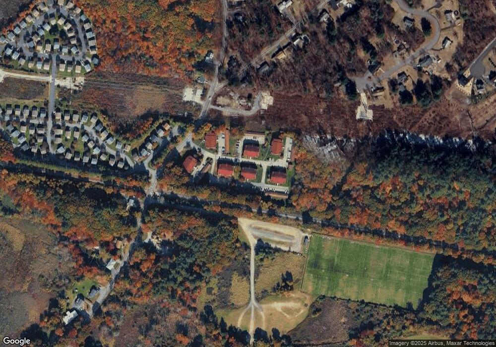
Map
Nearby Homes
- 97 Kendall Rd
- 399 North St
- 910 Livingston St
- 900 Livingston St
- 1170 Livingston St
- 1117 Emerald Ct
- 1224 Emerald Ct
- 13 Berkeley
- 20 Sophie Ruth Way
- 1 Tremblay Ave
- 18 Newton Ave
- 11 Orchard St
- 12 Hillcrest Rd
- 1325 Main
- 43 Patrick Rd
- 61 Patrick Rd
- 101 Squire Ln
- 1418 Main St Unit 201
- 1455 Main St Unit 8
- 172 Patrick Rd
- 48 Randolph Dr
- 47 Randolph Dr
- 46 Randolph Dr
- 45 Randolph Dr
- 44 Randolph Dr
- 43 Randolph Dr
- 42 Randolph Dr
- 40 Randolph Dr
- 39 Randolph Dr
- 38 Randolph Dr
- 37 Randolph Dr
- 44 Randolph Dr Unit 44
- 39 Randolph Dr Unit 39 3
- 40 Randolph Dr Unit 40 3
- 39 Randolph Dr Unit 39
- 56 Randolph Dr
- 56 Randolph Dr Unit 56
- 54 Randolph Dr
- 60 Randolph Dr
- 59 Randolph Dr