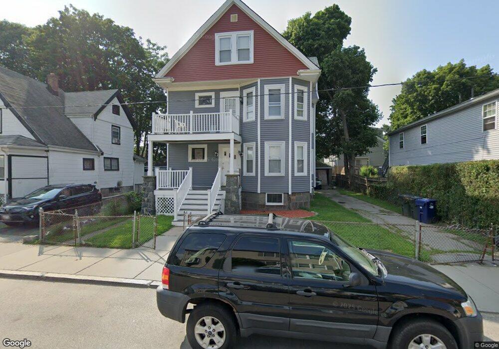
41 Rexford St Unit 1 Mattapan, MA 02126
Mattapan Square NeighborhoodEstimated Value: $522,449 - $1,063,000
3
Beds
2
Baths
1,000
Sq Ft
$860/Sq Ft
Est. Value
About This Home
This home is located at 41 Rexford St Unit 1, Mattapan, MA 02126 and is currently estimated at $859,862, approximately $859 per square foot. 41 Rexford St Unit 1 is a home located in Suffolk County with nearby schools including KIPP Academy Boston Charter School, St. Mary of the Hills School, and Berea Seventh-day Adventist Academy.
Ownership History
Date
Name
Owned For
Owner Type
Purchase Details
Closed on
Aug 5, 2024
Sold by
Breneus Carl M
Bought by
A Plus Highrise Ent Llc
Current Estimated Value
Home Financials for this Owner
Home Financials are based on the most recent Mortgage that was taken out on this home.
Original Mortgage
$657,825
Outstanding Balance
$649,186
Interest Rate
6.87%
Mortgage Type
Stand Alone Refi Refinance Of Original Loan
Estimated Equity
$210,676
Create a Home Valuation Report for This Property
The Home Valuation Report is an in-depth analysis detailing your home's value as well as a comparison with similar homes in the area
Home Values in the Area
Average Home Value in this Area
Purchase History
| Date | Buyer | Sale Price | Title Company |
|---|---|---|---|
| A Plus Highrise Ent Llc | -- | None Available | |
| A Plus Highrise Ent Llc | -- | None Available |
Source: Public Records
Mortgage History
| Date | Status | Borrower | Loan Amount |
|---|---|---|---|
| Open | A Plus Highrise Ent Llc | $657,825 | |
| Closed | A Plus Highrise Ent Llc | $657,825 |
Source: Public Records
Tax History Compared to Growth
Tax History
| Year | Tax Paid | Tax Assessment Tax Assessment Total Assessment is a certain percentage of the fair market value that is determined by local assessors to be the total taxable value of land and additions on the property. | Land | Improvement |
|---|---|---|---|---|
| 2025 | $7,595 | $655,900 | $228,600 | $427,300 |
| 2024 | $6,778 | $621,800 | $245,900 | $375,900 |
| 2023 | $6,071 | $565,300 | $223,300 | $342,000 |
| 2022 | $6,150 | $565,300 | $223,300 | $342,000 |
| 2021 | $5,483 | $513,900 | $203,000 | $310,900 |
| 2020 | $4,820 | $456,400 | $204,300 | $252,100 |
| 2019 | $4,453 | $422,500 | $158,900 | $263,600 |
| 2018 | $3,954 | $377,300 | $158,900 | $218,400 |
| 2017 | $3,842 | $362,800 | $158,900 | $203,900 |
| 2016 | $3,628 | $329,800 | $158,900 | $170,900 |
| 2015 | $3,133 | $258,700 | $121,000 | $137,700 |
Source: Public Records
Map
Nearby Homes
- 95 Woodhaven St
- 10 Brockton St
- 770 Cummins Hwy Unit 1
- 770 Cummins Hwy Unit 22
- 48-50 Rockdale St
- 1465 Blue Hill Ave
- 90 Hollingsworth St
- 4 Crossman St Unit 4
- 24 Constitution Rd
- 839-843 Cummins Hwy
- 11 French St
- 84 Blue Hills Pkwy
- 20 Monterey Ave
- 16 Blue Hill Ave
- 12 Hiawatha Rd
- 23 Caton St
- 32 Violet St
- 645 River St
- 60 and 64 Monterey Ave
- 10 Briarcliff Terrace
- 41 Rexford St
- 37A Rexford St Unit 2
- 37 Rexford St
- 45 Rexford St
- 33 Rexford St
- 49 Rexford St
- 29 Regis Rd Unit 31
- 33 Regis Rd
- 39 Regis Rd
- 42 Rexford St Unit B
- 42 Rexford St Unit A
- 42 Rexford St
- 29 Rexford St
- 51 Rexford St
- 25 Regis Rd
- 43 Regis Rd
- 40 Rexford St
- 44 Rexford St Unit 46
- 44-46 Rexford St
- 23 Regis Rd Unit 2