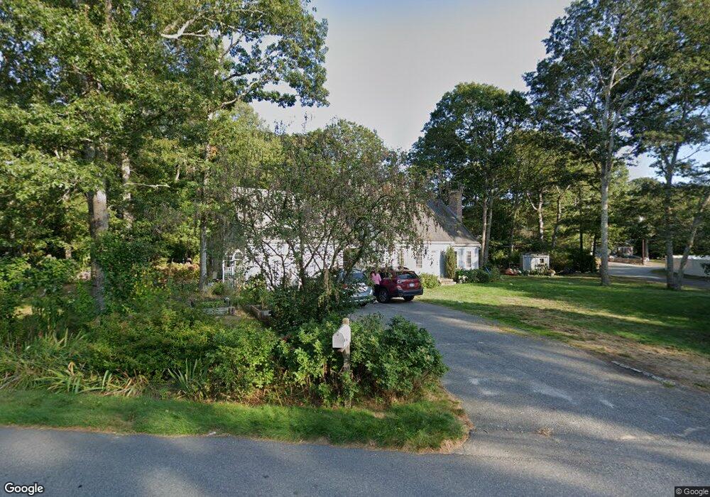
41 Rolling Hitch Rd Centerville, MA 02632
Centerville NeighborhoodEstimated Value: $689,392 - $731,000
4
Beds
3
Baths
1,801
Sq Ft
$392/Sq Ft
Est. Value
About This Home
This home is located at 41 Rolling Hitch Rd, Centerville, MA 02632 and is currently estimated at $705,098, approximately $391 per square foot. 41 Rolling Hitch Rd is a home located in Barnstable County with nearby schools including Centerville Elementary School, Barnstable United Elementary School, and Barnstable Intermediate School.
Ownership History
Date
Name
Owned For
Owner Type
Purchase Details
Closed on
Aug 22, 2003
Sold by
Collins John J and Collins Phyllis M
Bought by
Smith Michael F and Smith Janice
Current Estimated Value
Home Financials for this Owner
Home Financials are based on the most recent Mortgage that was taken out on this home.
Original Mortgage
$185,000
Outstanding Balance
$80,873
Interest Rate
5.52%
Mortgage Type
Purchase Money Mortgage
Estimated Equity
$624,225
Purchase Details
Closed on
Aug 11, 1995
Sold by
Carey Arthur and Carey Linda
Bought by
Collins John J and Collins Phyllis M
Home Financials for this Owner
Home Financials are based on the most recent Mortgage that was taken out on this home.
Original Mortgage
$131,000
Interest Rate
7.48%
Mortgage Type
Purchase Money Mortgage
Create a Home Valuation Report for This Property
The Home Valuation Report is an in-depth analysis detailing your home's value as well as a comparison with similar homes in the area
Home Values in the Area
Average Home Value in this Area
Purchase History
| Date | Buyer | Sale Price | Title Company |
|---|---|---|---|
| Smith Michael F | $425,000 | -- | |
| Collins John J | $181,000 | -- |
Source: Public Records
Mortgage History
| Date | Status | Borrower | Loan Amount |
|---|---|---|---|
| Open | Collins John J | $185,000 | |
| Previous Owner | Collins John J | $131,000 |
Source: Public Records
Tax History
| Year | Tax Paid | Tax Assessment Tax Assessment Total Assessment is a certain percentage of the fair market value that is determined by local assessors to be the total taxable value of land and additions on the property. | Land | Improvement |
|---|---|---|---|---|
| 2025 | $4,965 | $613,700 | $154,200 | $459,500 |
| 2024 | $4,609 | $590,200 | $154,200 | $436,000 |
| 2023 | $4,412 | $529,000 | $140,200 | $388,800 |
| 2022 | $4,177 | $433,300 | $103,800 | $329,500 |
| 2021 | $3,155 | $377,300 | $103,800 | $273,500 |
| 2020 | $4,032 | $367,900 | $103,800 | $264,100 |
| 2019 | $2,981 | $343,300 | $103,800 | $239,500 |
| 2018 | $3,568 | $318,000 | $109,300 | $208,700 |
| 2017 | $3,323 | $308,800 | $109,300 | $199,500 |
| 2016 | $3,376 | $309,700 | $110,200 | $199,500 |
| 2015 | $3,270 | $301,400 | $107,000 | $194,400 |
Source: Public Records
Map
Nearby Homes
- 900 Old Stage Rd
- 296 Buckskin Path
- 66 Tern Ln
- 62 Three Ponds Dr
- 324 Patriot Way
- 315 Prince Hinckley Rd
- 82 Yacht Club Rd
- 87 Foxglove Rd
- 19 Marrick Ct
- 1044 Old Falmouth Rd
- 1028 Old Falmouth Rd
- 51 Larch Ln
- 481 Lakeside Dr W
- 74 Saddler Ln
- 357 Lakeside Dr W
- 83 Lake Dr
- 53 Meadow Farm Rd
- 52 Meadow Farm Rd
- 40 Sachem Dr
- 10 Sail a Way
- 22 Cat's Paw
- 18 Cats Paw Way
- 53 Rolling Hitch Rd
- 17 Capstan Way
- 36 Rolling Hitch Rd
- 22 Cats Paw Way
- 19 Rolling Hitch Rd
- 19 Cats Paw Way
- 60 Rolling Hitch Rd
- 17 Rolling Hitch Rd
- 15 Rolling Hitch Rd
- 22 Rolling Hitch Rd
- 17 Windlass Ln
- 13 Rolling Hitch Rd
- 60 Captain Jac's
- 10 Capstan Way
- 30 Cats Paw Way
- 20 Windlass Ln
- 11 Rolling Hitch Rd
- 10 Rolling Hitch Rd
Your Personal Tour Guide
Ask me questions while you tour the home.