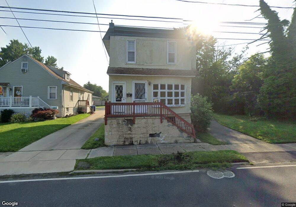
41 S Lenola Rd Moorestown, NJ 08057
Estimated Value: $355,000 - $428,000
--
Bed
--
Bath
1,880
Sq Ft
$214/Sq Ft
Est. Value
About This Home
This home is located at 41 S Lenola Rd, Moorestown, NJ 08057 and is currently estimated at $402,842, approximately $214 per square foot. 41 S Lenola Rd is a home located in Burlington County with nearby schools including Mary E. Roberts Elementary School, Moorestown Upper Elementary School, and William Allen Middle School.
Ownership History
Date
Name
Owned For
Owner Type
Purchase Details
Closed on
Aug 3, 2009
Sold by
Sheth Parag and Sheth Kosha
Bought by
Genx Homes Llc
Current Estimated Value
Purchase Details
Closed on
Jun 23, 2009
Sold by
Maguire Michelle and Maguire Matthew
Bought by
Sheth Parag and Sheth Kosha
Purchase Details
Closed on
Dec 8, 2006
Sold by
Snyder Robert and Snyder Florence J
Bought by
Maguire Matthew and Maguire Michelle
Home Financials for this Owner
Home Financials are based on the most recent Mortgage that was taken out on this home.
Original Mortgage
$44,200
Interest Rate
6.35%
Mortgage Type
Purchase Money Mortgage
Create a Home Valuation Report for This Property
The Home Valuation Report is an in-depth analysis detailing your home's value as well as a comparison with similar homes in the area
Home Values in the Area
Average Home Value in this Area
Purchase History
| Date | Buyer | Sale Price | Title Company |
|---|---|---|---|
| Genx Homes Llc | -- | First American Title Ins Co | |
| Sheth Parag | $120,400 | Infinity Title Agency Inc | |
| Maguire Matthew | $221,000 | None Available |
Source: Public Records
Mortgage History
| Date | Status | Borrower | Loan Amount |
|---|---|---|---|
| Previous Owner | Maguire Matthew | $44,200 | |
| Previous Owner | Maguire Matthew | $176,800 |
Source: Public Records
Tax History Compared to Growth
Tax History
| Year | Tax Paid | Tax Assessment Tax Assessment Total Assessment is a certain percentage of the fair market value that is determined by local assessors to be the total taxable value of land and additions on the property. | Land | Improvement |
|---|---|---|---|---|
| 2025 | $5,120 | $179,100 | $66,000 | $113,100 |
| 2024 | $4,966 | $179,100 | $66,000 | $113,100 |
| 2023 | $4,966 | $179,100 | $66,000 | $113,100 |
| 2022 | $4,941 | $179,100 | $66,000 | $113,100 |
| 2021 | $4,879 | $179,100 | $66,000 | $113,100 |
| 2020 | $4,846 | $179,100 | $66,000 | $113,100 |
| 2019 | $4,759 | $179,100 | $66,000 | $113,100 |
| 2018 | $4,619 | $179,100 | $66,000 | $113,100 |
| 2017 | $4,649 | $179,100 | $66,000 | $113,100 |
| 2016 | $4,628 | $179,100 | $66,000 | $113,100 |
| 2015 | $4,567 | $179,100 | $66,000 | $113,100 |
| 2014 | $4,343 | $179,100 | $66,000 | $113,100 |
Source: Public Records
Map
Nearby Homes
- 206 E Camden Ave
- 14 Vincent Way
- 21 N Lenola Rd
- 149 Chalkboard Ct
- 114 Grant Ave
- 99 Grant Ave
- 801 E Camden Ave
- 709 Manor Terrace
- 403 S Lenola Rd
- 519 N Lincoln Ave
- 124 E Wilson Ave
- 21 Foxwood Dr Unit 21
- 115 E Kings Hwy Unit 386
- 115 E Kings Hwy Unit 410
- 115 E Kings Hwy Unit 444
- 115 E Kings Hwy Unit 443
- 31 S Boulevard Ave
- 531 Covington Terrace
- 106 Pine St
- 202 S Cedar Ave