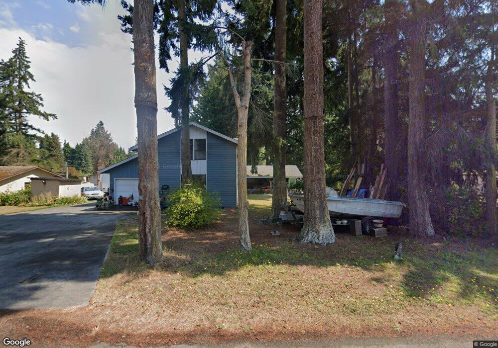
41 S Maple St Port Hadlock, WA 98339
Port Hadlock-Irondale NeighborhoodEstimated Value: $359,000 - $443,456
3
Beds
2
Baths
1,120
Sq Ft
$367/Sq Ft
Est. Value
About This Home
This home is located at 41 S Maple St, Port Hadlock, WA 98339 and is currently estimated at $411,114, approximately $367 per square foot. 41 S Maple St is a home located in Jefferson County with nearby schools including Chimacum Creek Primary School, Chimacum School Pi Program, and Chimacum Elementary School.
Create a Home Valuation Report for This Property
The Home Valuation Report is an in-depth analysis detailing your home's value as well as a comparison with similar homes in the area
Home Values in the Area
Average Home Value in this Area
Tax History Compared to Growth
Tax History
| Year | Tax Paid | Tax Assessment Tax Assessment Total Assessment is a certain percentage of the fair market value that is determined by local assessors to be the total taxable value of land and additions on the property. | Land | Improvement |
|---|---|---|---|---|
| 2024 | $2,217 | $292,473 | $76,125 | $216,348 |
| 2023 | $2,217 | $274,014 | $67,500 | $206,514 |
| 2022 | $1,919 | $232,790 | $62,500 | $170,290 |
| 2021 | $1,892 | $210,326 | $52,650 | $157,676 |
| 2020 | $1,743 | $195,014 | $48,600 | $146,414 |
| 2019 | $1,583 | $174,070 | $44,550 | $129,520 |
| 2018 | $1,732 | $158,757 | $40,500 | $118,257 |
| 2017 | $1,449 | $153,126 | $40,500 | $112,626 |
| 2016 | $1,437 | $136,066 | $36,245 | $99,821 |
| 2015 | $1,414 | $136,066 | $36,245 | $99,821 |
| 2014 | -- | $136,066 | $36,245 | $99,821 |
| 2013 | -- | $123,695 | $32,950 | $90,745 |
Source: Public Records
Map
Nearby Homes
- 1210 Irondale Rd
- 0 NKA C St
- 31 2nd St
- 611 Cedar Ave Unit 51
- 611 Cedar Ave Unit 33
- 611 Cedar Ave Unit 62
- 781 Irondale Rd
- 371 E Price St
- 0 901024068 Unit NWM2387187
- 0 901024068 Unit Port Hadlock WA 9833
- 31 Petes Spur
- 0 E Eugene St
- 153 Sunset Meadows Ln
- 177 Sunset Meadows Ln
- 51 Thomas Dr
- 52 E Moore St
- 2 Lylus Ln
- 1 Lylus Ln
- 999 Ann Kivley Dr
- 13 Loretta Ln