41 Shawnee Path Millington, NJ 07946
Estimated Value: $1,185,000 - $1,272,000
Studio
--
Bath
3,716
Sq Ft
$332/Sq Ft
Est. Value
About This Home
This home is located at 41 Shawnee Path, Millington, NJ 07946 and is currently estimated at $1,234,845, approximately $332 per square foot. 41 Shawnee Path is a home located in Morris County with nearby schools including Gillette Elementary School, Millington Elementary School, and Central Middle School.
Ownership History
Date
Name
Owned For
Owner Type
Purchase Details
Closed on
Feb 27, 2013
Sold by
Gurval Michael W and Gurval Loraine M
Bought by
Gurval Michael W and Gurval Loraine M
Current Estimated Value
Home Financials for this Owner
Home Financials are based on the most recent Mortgage that was taken out on this home.
Original Mortgage
$343,000
Outstanding Balance
$241,057
Interest Rate
3.45%
Mortgage Type
New Conventional
Estimated Equity
$993,788
Purchase Details
Closed on
Mar 20, 2003
Sold by
Ingram Ken
Bought by
Gurval Michael and Gurval Lorraine
Home Financials for this Owner
Home Financials are based on the most recent Mortgage that was taken out on this home.
Original Mortgage
$440,000
Interest Rate
5.75%
Create a Home Valuation Report for This Property
The Home Valuation Report is an in-depth analysis detailing your home's value as well as a comparison with similar homes in the area
Home Values in the Area
Average Home Value in this Area
Purchase History
| Date | Buyer | Sale Price | Title Company |
|---|---|---|---|
| Gurval Michael W | -- | New Urban Title & Escrow Xi | |
| Gurval Michael | $711,000 | -- |
Source: Public Records
Mortgage History
| Date | Status | Borrower | Loan Amount |
|---|---|---|---|
| Open | Gurval Michael W | $343,000 | |
| Closed | Gurval Michael | $440,000 |
Source: Public Records
Tax History
| Year | Tax Paid | Tax Assessment Tax Assessment Total Assessment is a certain percentage of the fair market value that is determined by local assessors to be the total taxable value of land and additions on the property. | Land | Improvement |
|---|---|---|---|---|
| 2025 | $21,577 | $984,200 | $278,900 | $705,300 |
| 2024 | $21,058 | $962,400 | $273,900 | $688,500 |
Source: Public Records
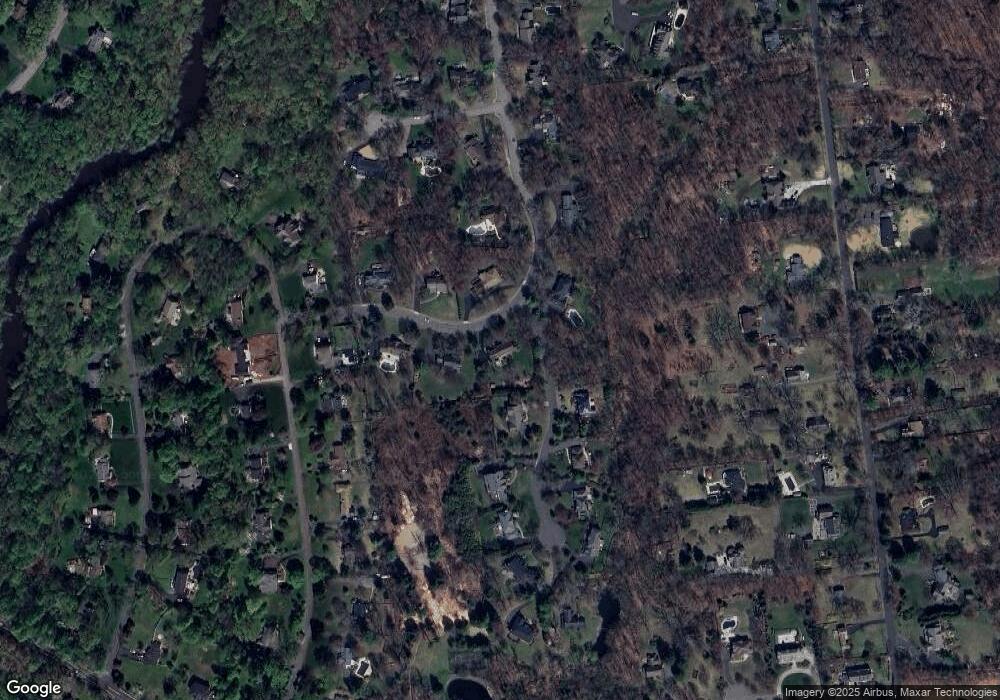
Map
Nearby Homes
- 128 Old Forge Rd
- 457 Elm St
- 379 Elm St
- 355 Elm St
- 1 Joss Way
- 246 246a Main Ave
- 350 Passaic Ave
- 231 Main Ave
- 36 Debra Ln
- 33 Juniper Way
- 46 Smithfield Ct
- 62 Smithfield Ct
- 171 Jamestown Rd Ondo Unit 171
- 7 Valley View Dr
- 20 Alexandria Way
- 22 Alexandria Way
- 49 Alexandria Way Ondo
- 206 Potomac Dr
- 272 Potomac Dr
- 138 Potomac Dr Condo
- 9 Ave Maria Ct
- 29 Shawnee Path
- 57 Shawnee Path
- 44 Shawnee Path
- 12 Ave Maria Ct
- 26 Shawnee Path
- 17 Shawnee Path
- 15 Ave Maria Ct
- 18 Ave Maria Ct
- 64 Shawnee Path
- 14 Shawnee Path
- 22 Ave Maria Ct
- 69 Shawnee Path
- 19 Ave Maria Ct
- 83 E Rayburn Rd
- 95 E Rayburn Rd
- 71 E Rayburn Rd
- 80 Shawnee Path
- 17 Puddingstone Ln
- 111 E Rayburn Rd
Your Personal Tour Guide
Ask me questions while you tour the home.