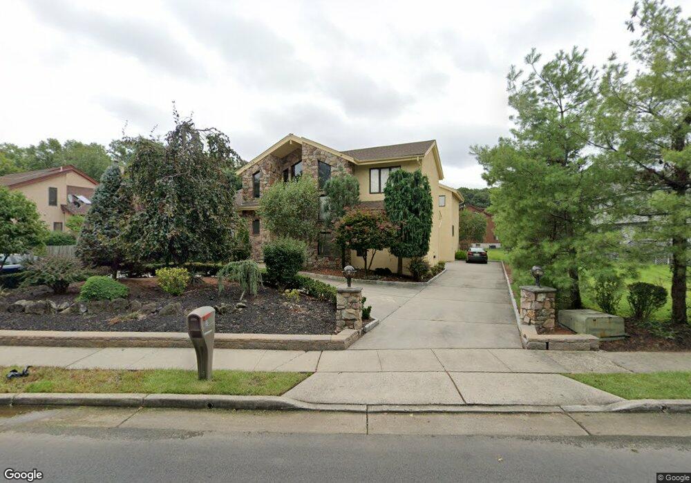
41 Sherman Blvd Edison, NJ 08820
Estimated Value: $1,314,871 - $1,753,000
Studio
--
Bath
4,371
Sq Ft
$340/Sq Ft
Est. Value
About This Home
This home is located at 41 Sherman Blvd, Edison, NJ 08820 and is currently estimated at $1,486,468, approximately $340 per square foot. 41 Sherman Blvd is a home located in Middlesex County with nearby schools including James Madison Primary School, James Madison Intermediate School, and John Adams Middle School.
Ownership History
Date
Name
Owned For
Owner Type
Purchase Details
Closed on
Aug 2, 1999
Sold by
Karnani Builders Inc
Bought by
Mini Saggar
Current Estimated Value
Home Financials for this Owner
Home Financials are based on the most recent Mortgage that was taken out on this home.
Original Mortgage
$570,000
Outstanding Balance
$149,872
Interest Rate
7.5%
Estimated Equity
$1,336,596
Create a Home Valuation Report for This Property
The Home Valuation Report is an in-depth analysis detailing your home's value as well as a comparison with similar homes in the area
Home Values in the Area
Average Home Value in this Area
Purchase History
| Date | Buyer | Sale Price | Title Company |
|---|---|---|---|
| Mini Saggar | $712,500 | -- |
Source: Public Records
Mortgage History
| Date | Status | Borrower | Loan Amount |
|---|---|---|---|
| Open | Mini Saggar | $570,000 |
Source: Public Records
Tax History
| Year | Tax Paid | Tax Assessment Tax Assessment Total Assessment is a certain percentage of the fair market value that is determined by local assessors to be the total taxable value of land and additions on the property. | Land | Improvement |
|---|---|---|---|---|
| 2025 | $32,724 | $549,700 | $110,500 | $439,200 |
| 2024 | $32,548 | $549,700 | $110,500 | $439,200 |
| 2023 | $32,548 | $549,700 | $110,500 | $439,200 |
| 2022 | $32,559 | $549,700 | $110,500 | $439,200 |
| 2021 | $31,239 | $549,700 | $110,500 | $439,200 |
| 2020 | $32,152 | $549,700 | $110,500 | $439,200 |
| 2019 | $29,728 | $549,700 | $110,500 | $439,200 |
| 2018 | $30,190 | $549,700 | $110,500 | $439,200 |
| 2017 | $29,552 | $549,700 | $110,500 | $439,200 |
| 2016 | $27,793 | $549,700 | $110,500 | $439,200 |
| 2015 | $26,737 | $549,700 | $110,500 | $439,200 |
| 2014 | $25,979 | $549,700 | $110,500 | $439,200 |
Source: Public Records
Map
Nearby Homes
- 41 W Henry Place
- 28 W Francis St
- 30 Bender Ave
- 628 New Dover Rd
- 77 W Arthur Place
- 64 W Francis St
- 68 W Edward St
- 89 W Warren St
- 87 Ellmyer Rd
- 92 W Edward St
- 5 Mila Ct
- 1610 Oak Tree Rd
- 199 E Louis Place
- 212 E Louis Place
- 275 Alden Ave
- 344 Charles St
- 237 E George Place
- 15 New Dover Ave
- 9 Holly Rd
- 24 Maple Rd
Your Personal Tour Guide
Ask me questions while you tour the home.