41 Southgate Rd Kennebunk, ME 04043
Estimated Value: $1,018,000 - $1,692,000
3
Beds
3
Baths
3,178
Sq Ft
$451/Sq Ft
Est. Value
About This Home
This home is located at 41 Southgate Rd, Kennebunk, ME 04043 and is currently estimated at $1,433,802, approximately $451 per square foot. 41 Southgate Rd is a home with nearby schools including Kennebunk High School.
Ownership History
Date
Name
Owned For
Owner Type
Purchase Details
Closed on
Jan 29, 2020
Sold by
Sandler Kenneth M and Sandler Elizabeth R
Bought by
Mauro April J
Current Estimated Value
Purchase Details
Closed on
Nov 29, 2007
Sold by
Vansons Inc
Bought by
Sandler Elizabeth R and Sandler Kenneth M
Home Financials for this Owner
Home Financials are based on the most recent Mortgage that was taken out on this home.
Original Mortgage
$80,000
Interest Rate
6.48%
Mortgage Type
Purchase Money Mortgage
Create a Home Valuation Report for This Property
The Home Valuation Report is an in-depth analysis detailing your home's value as well as a comparison with similar homes in the area
Home Values in the Area
Average Home Value in this Area
Purchase History
| Date | Buyer | Sale Price | Title Company |
|---|---|---|---|
| Mauro April J | -- | None Available | |
| Mauro April J | -- | None Available | |
| Mauro April J | -- | None Available | |
| Sandler Elizabeth R | -- | -- | |
| Sandler Elizabeth R | -- | -- |
Source: Public Records
Mortgage History
| Date | Status | Borrower | Loan Amount |
|---|---|---|---|
| Previous Owner | Sandler Elizabeth R | $80,000 |
Source: Public Records
Tax History Compared to Growth
Tax History
| Year | Tax Paid | Tax Assessment Tax Assessment Total Assessment is a certain percentage of the fair market value that is determined by local assessors to be the total taxable value of land and additions on the property. | Land | Improvement |
|---|---|---|---|---|
| 2024 | $12,468 | $735,600 | $0 | $0 |
| 2023 | $11,806 | $735,600 | $160,000 | $575,600 |
| 2022 | $6,541 | $448,000 | $160,000 | $288,000 |
| 2021 | $2,280 | $160,000 | $160,000 | $0 |
| 2020 | $4,293 | $303,400 | $303,400 | $0 |
| 2019 | $4,172 | $303,400 | $303,400 | $0 |
| 2018 | $3,981 | $227,500 | $227,500 | $0 |
| 2017 | $3,765 | $227,500 | $227,500 | $0 |
| 2016 | $3,617 | $227,500 | $227,500 | $0 |
| 2015 | $3,481 | $227,500 | $227,500 | $0 |
| 2014 | $3,390 | $227,500 | $227,500 | $0 |
Source: Public Records
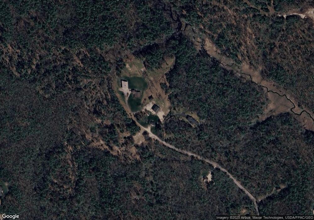
Map
Nearby Homes
- 20 Ephraim Tyler Way Unit 20
- 12 Ephraim Tyler Way
- 4 Ephraim Tyler Way
- 14 Rachel Dr
- Lot#39 Bufflehead Cove Ln
- 28 River Locks Rd
- 3 Breakwater Ct Unit 1
- 7 Christensen Ln
- 20 Surf Ln
- 15 Christensen Ln Unit B1
- 12 Wallace St
- 12 Beach Ave
- 8 Tidewater Ct
- 5 Heath Rd
- 175 Beach Ave Unit 2
- 147 Beach Ave Unit 42
- 143 Beach Ave Unit 205
- 143 Beach Ave Unit 203
- 53 Great Hill Rd
- 13 Atlantic Cir
- Lot 32 Southgate Rd
- 18 Southgate Rd
- 46 Southgate Rd
- 45 Southgate Rd
- 45 and 57 Southgate Rd
- 16 Southgate Rd
- 17 Southgate Rd
- 24 Cottagewood Ln
- 8 Southgate Rd
- 15 Southgate Rd
- 22 Cottagewood Ln
- 19 Cottagewood Ln
- 7 Southgate Rd
- 20 Cottagewood Ln
- 15 Commodores Way
- 17 Commodore's Way
- 16 Commodore's Way
- 17 Cottagewood Ln
- 15 Cottagewood Ln
- 11 Commodore's Way