41 Sparhawk Path Marshfield, MA 02050
Estimated Value: $1,080,000 - $1,247,000
3
Beds
3
Baths
3,628
Sq Ft
$319/Sq Ft
Est. Value
About This Home
This home is located at 41 Sparhawk Path, Marshfield, MA 02050 and is currently estimated at $1,158,935, approximately $319 per square foot. 41 Sparhawk Path is a home located in Plymouth County with nearby schools including South River, Furnace Brook Middle School, and Marshfield High School.
Ownership History
Date
Name
Owned For
Owner Type
Purchase Details
Closed on
Dec 9, 1994
Sold by
Elkins Jeffrey M and Fletcher Lisa A
Bought by
Bothwell Robert J and Bothwell Susan J
Current Estimated Value
Purchase Details
Closed on
Mar 18, 1991
Sold by
Scituate Federal Sb
Bought by
Elkins Jeffrey M and Fletcher Lisa A
Create a Home Valuation Report for This Property
The Home Valuation Report is an in-depth analysis detailing your home's value as well as a comparison with similar homes in the area
Home Values in the Area
Average Home Value in this Area
Purchase History
| Date | Buyer | Sale Price | Title Company |
|---|---|---|---|
| Bothwell Robert J | $277,000 | -- | |
| Elkins Jeffrey M | $250,000 | -- |
Source: Public Records
Mortgage History
| Date | Status | Borrower | Loan Amount |
|---|---|---|---|
| Open | Elkins Jeffrey M | $450,000 | |
| Closed | Elkins Jeffrey M | $347,800 | |
| Closed | Elkins Jeffrey M | $265,000 |
Source: Public Records
Tax History
| Year | Tax Paid | Tax Assessment Tax Assessment Total Assessment is a certain percentage of the fair market value that is determined by local assessors to be the total taxable value of land and additions on the property. | Land | Improvement |
|---|---|---|---|---|
| 2025 | $10,637 | $1,074,400 | $332,800 | $741,600 |
| 2024 | $10,358 | $996,900 | $317,500 | $679,400 |
| 2023 | $9,631 | $885,600 | $294,600 | $591,000 |
| 2022 | $9,631 | $743,700 | $261,000 | $482,700 |
| 2021 | $9,164 | $694,800 | $261,000 | $433,800 |
| 2020 | $8,807 | $660,700 | $239,200 | $421,500 |
| 2019 | $8,512 | $636,200 | $239,200 | $397,000 |
| 2018 | $8,398 | $628,100 | $239,200 | $388,900 |
| 2017 | $8,269 | $602,700 | $239,200 | $363,500 |
| 2016 | $8,020 | $577,800 | $239,200 | $338,600 |
| 2015 | $7,569 | $569,500 | $239,200 | $330,300 |
| 2014 | $7,736 | $582,100 | $239,200 | $342,900 |
Source: Public Records
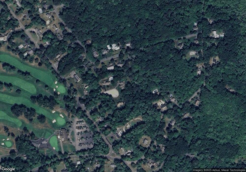
Map
Nearby Homes
- 431 Moraine St
- 184 King Phillips Pathe
- 6 Maple Ln
- 152 Acorn St
- 129 Franklin St
- 86 Barouche Dr
- 42 Carr Rd
- 242 Enterprise St
- 7 Pierce Rd
- 290 S River St
- 92 Salt Meadow Waye
- 116 Outlook Rd
- 30 Chandler Dr
- 3 Harlow Brook Way Unit 3
- 2 Harlow Brook Way Unit 2
- 2 Secret Pond Way Unit 35
- 1 Secret Pond Way Unit 36
- 32 Gratto Rd
- 235 Main St
- 4 Rachael's Ln
- 38 Sparhawk Path
- 29 Sparhawk Path
- 75 Whiffletree Ln
- 65 Whiffletree Ln
- 452 Parsonage St
- 85 Whiffletree Ln
- 93 Whiffletree Ln
- 514 Moraine St
- 456 Parsonage St
- 456 Parsonage St Unit 1
- 74 Whiffletree Ln
- 86 Whiffletree Ln
- 506 Moraine St
- 60 Whiffletree Ln
- 446 Parsonage St
- 526 Moraine St
- 498 Moraine St
- 99 Whiffletree Ln
- 104 Whiffletree Ln
- 490 Moraine St
Your Personal Tour Guide
Ask me questions while you tour the home.