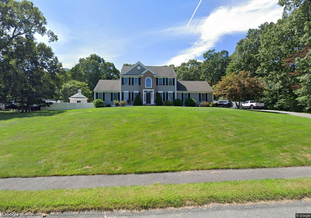
41 Spinnaker Way Westport, MA 02790
North Westport NeighborhoodEstimated Value: $730,574 - $831,000
3
Beds
3
Baths
2,168
Sq Ft
$358/Sq Ft
Est. Value
About This Home
This home is located at 41 Spinnaker Way, Westport, MA 02790 and is currently estimated at $776,144, approximately $358 per square foot. 41 Spinnaker Way is a home located in Bristol County with nearby schools including Alice A. Macomber Primary School, Westport Elementary School, and Westport Middle-High School.
Ownership History
Date
Name
Owned For
Owner Type
Purchase Details
Closed on
Jun 20, 2005
Sold by
Long Built Homes Inc
Bought by
Resendes Diane and Resendes Steven
Current Estimated Value
Home Financials for this Owner
Home Financials are based on the most recent Mortgage that was taken out on this home.
Original Mortgage
$109,000
Interest Rate
5.78%
Mortgage Type
Purchase Money Mortgage
Create a Home Valuation Report for This Property
The Home Valuation Report is an in-depth analysis detailing your home's value as well as a comparison with similar homes in the area
Home Values in the Area
Average Home Value in this Area
Purchase History
| Date | Buyer | Sale Price | Title Company |
|---|---|---|---|
| Resendes Diane | $493,477 | -- |
Source: Public Records
Mortgage History
| Date | Status | Borrower | Loan Amount |
|---|---|---|---|
| Open | Resendes Diane | $263,000 | |
| Closed | Resendes Diane | $109,000 | |
| Closed | Resendes Diane | $359,650 |
Source: Public Records
Tax History Compared to Growth
Tax History
| Year | Tax Paid | Tax Assessment Tax Assessment Total Assessment is a certain percentage of the fair market value that is determined by local assessors to be the total taxable value of land and additions on the property. | Land | Improvement |
|---|---|---|---|---|
| 2025 | $4,512 | $605,700 | $210,400 | $395,300 |
| 2024 | $4,496 | $581,600 | $195,000 | $386,600 |
| 2023 | $4,402 | $539,500 | $185,700 | $353,800 |
| 2022 | $4,237 | $499,600 | $185,700 | $313,900 |
| 2021 | $4,135 | $479,700 | $168,800 | $310,900 |
| 2020 | $3,976 | $471,700 | $162,100 | $309,600 |
| 2019 | $3,830 | $463,100 | $162,100 | $301,000 |
| 2018 | $3,467 | $424,400 | $130,000 | $294,400 |
| 2017 | $3,407 | $427,500 | $132,500 | $295,000 |
| 2016 | $3,177 | $401,700 | $137,500 | $264,200 |
| 2015 | $3,148 | $397,000 | $140,000 | $257,000 |
Source: Public Records
Map
Nearby Homes
- 47 Devol Ave
- 218 American Legion Hwy
- 33 Moniz Dr
- 771 Sanford Rd
- 51 Newton St
- 40 Robert St
- 0 Tickle Rd Unit 73453134
- 219 Tickle Rd
- 6 Angel Ct
- 47 Robert St
- 100 Cory's Ln
- 100 Corys Ln
- 8 Campion Ave
- 308 Robert St
- 14 Glendale Ave
- 75 Montgomery St
- 100 D Dr
- 0 Crandall Rd
- 1125 Stafford Rd Unit 5
- 92 Benoit St
- 49 Spinnaker Way
- 42 Spinnaker Way
- 37 Spinnaker Way
- 46 Spinnaker Way
- 38 Spinnaker Way
- 50 Spinnaker Way
- 50 Spinnaker Way Unit 1
- 55 Spinnaker Way
- 33 Spinnaker Way
- 34 Spinnaker Way
- 60 Meadow Rd
- 54 Spinnaker Way
- 30 Spinnaker Way
- 33 Lighthouse Ln
- 37 Lighthouse Ln
- 29 Lighthouse Ln
- 56 Meadow Rd
- 29 Spinnaker Way
- 64 Meadow Rd
- 25 Lighthouse Ln